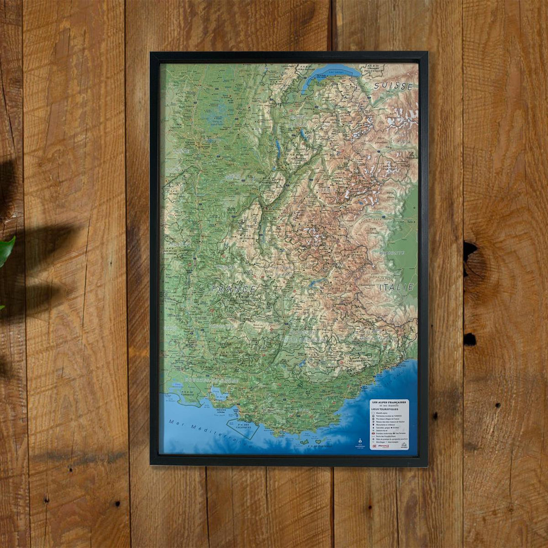
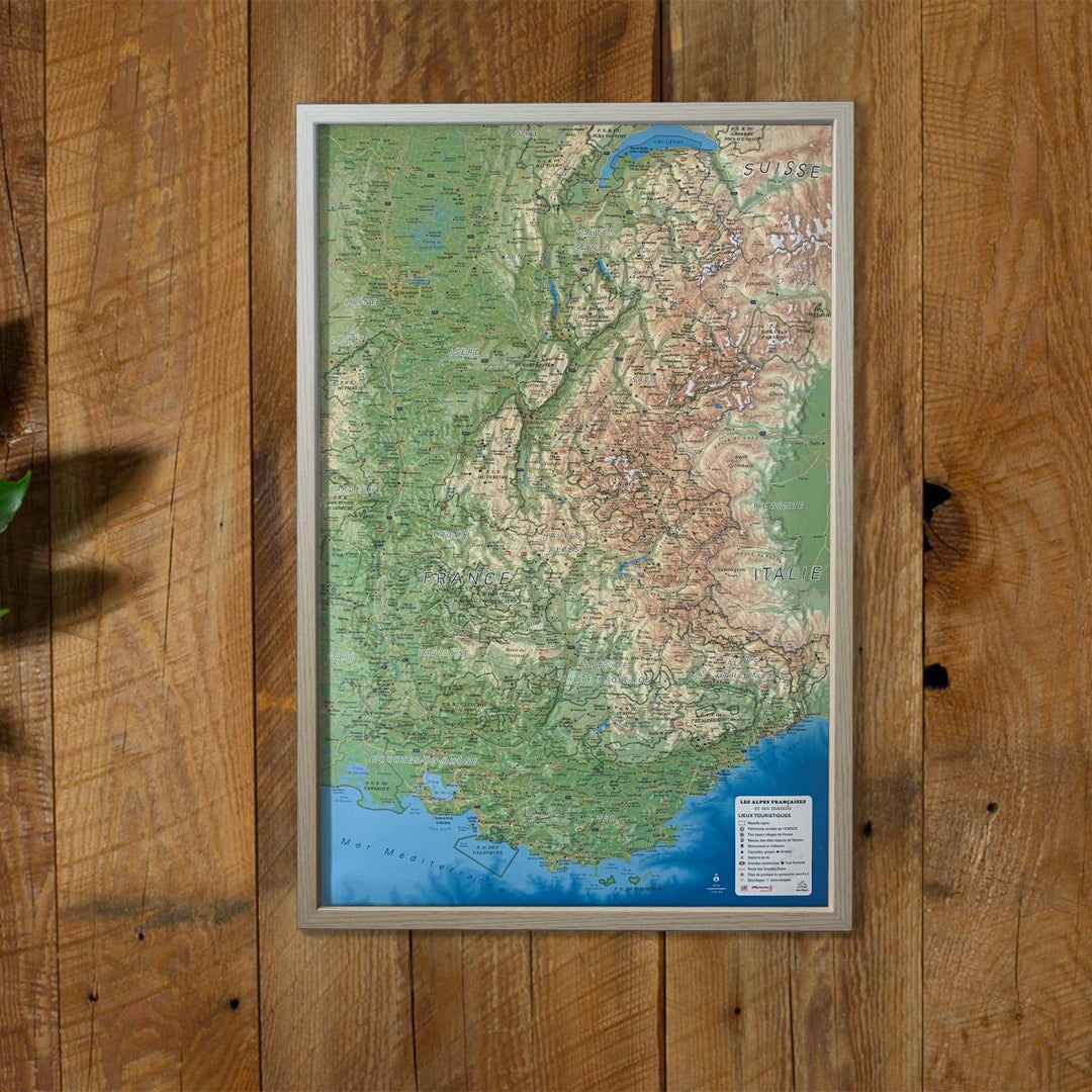
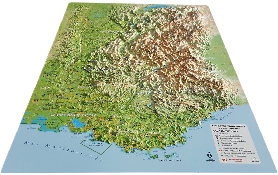
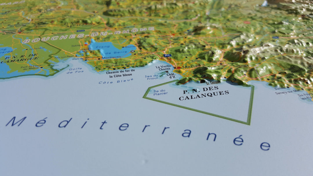
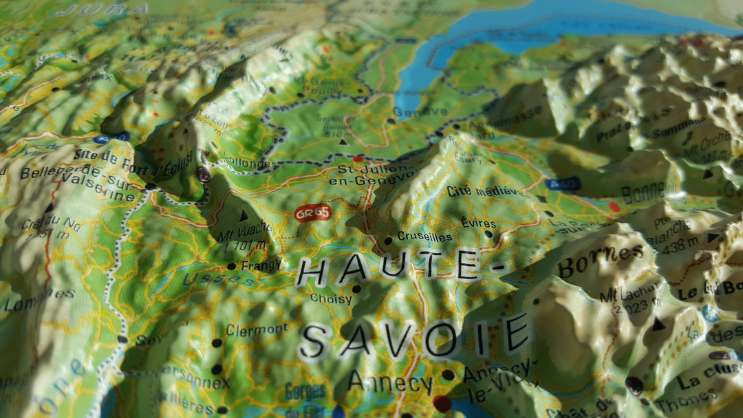
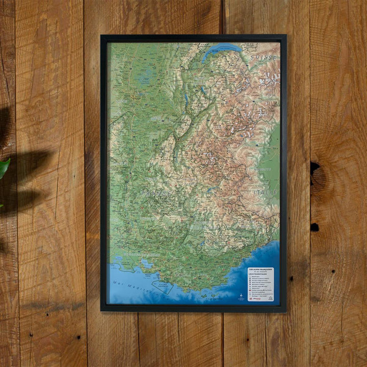
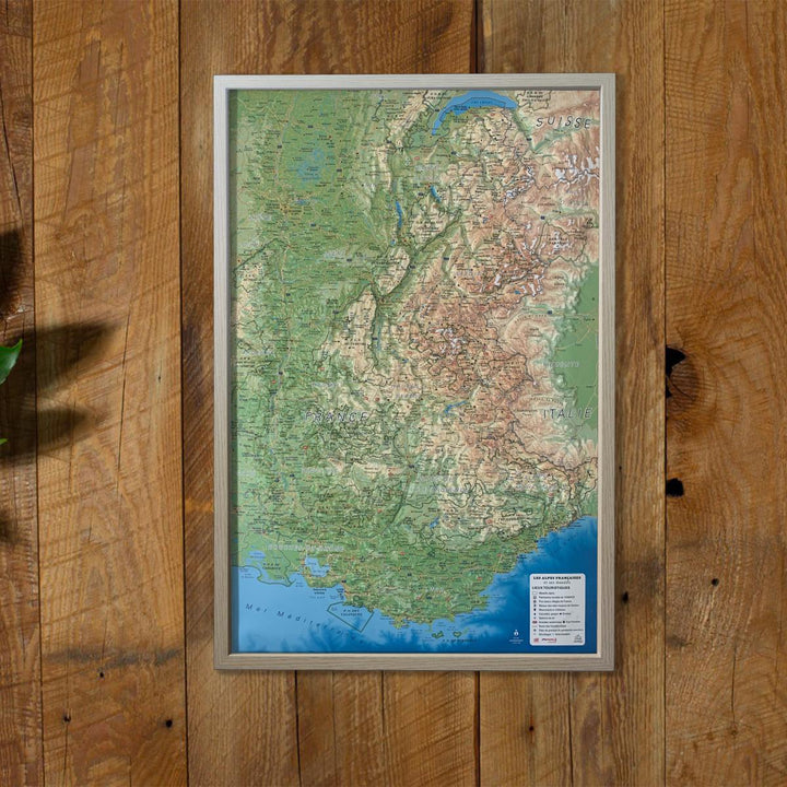
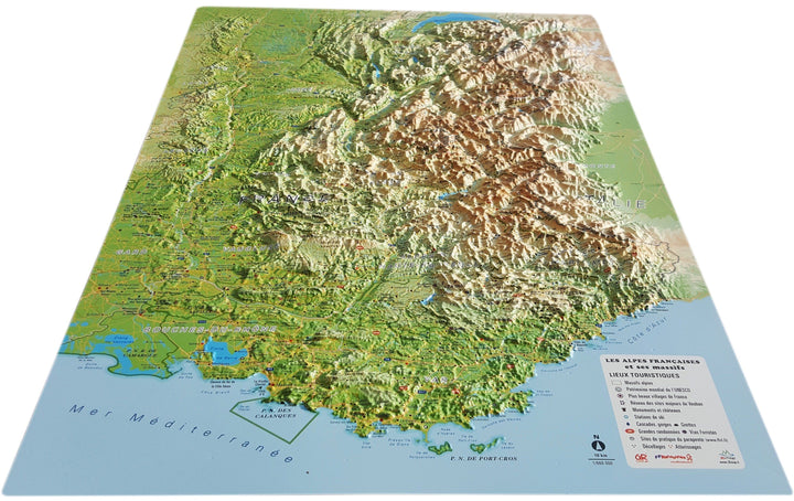
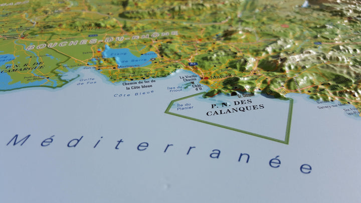
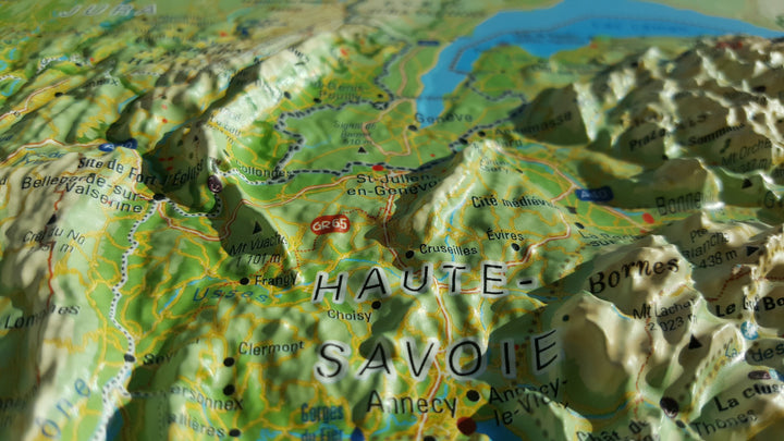
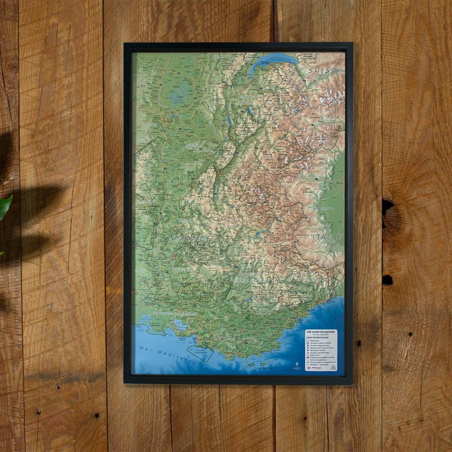
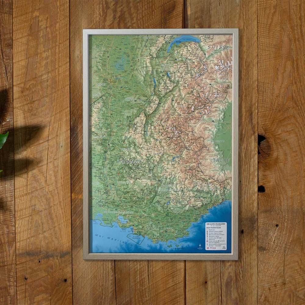
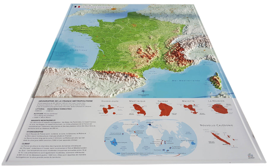
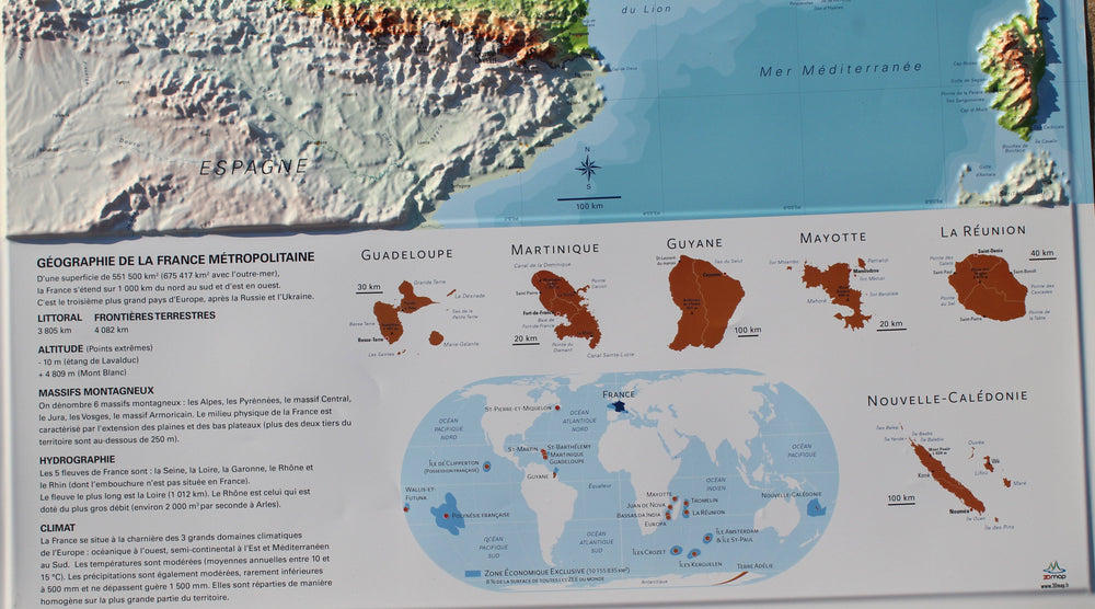
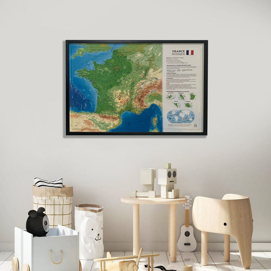
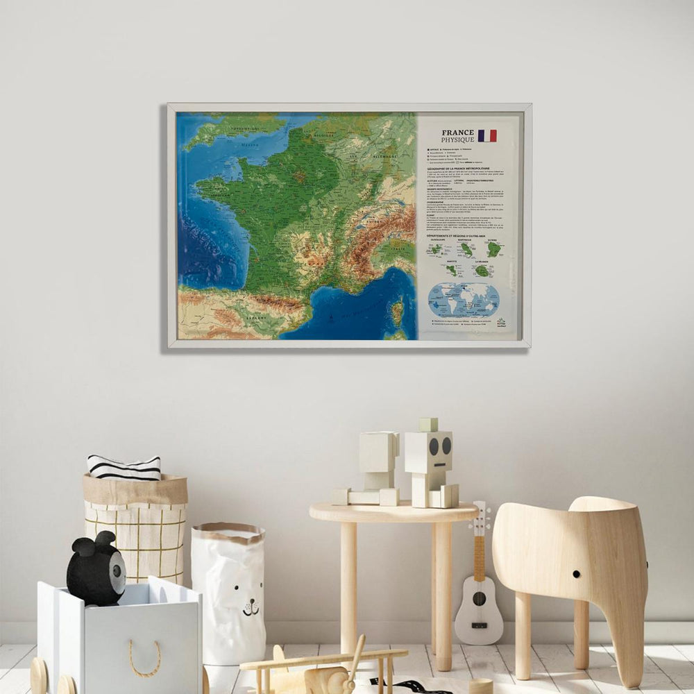
Relief wall map covering the French Alps and its alpine massifs.
A finishing frame is also available as an option: We highly recommend it to make hanging easier and to enhance the appearance of your map.
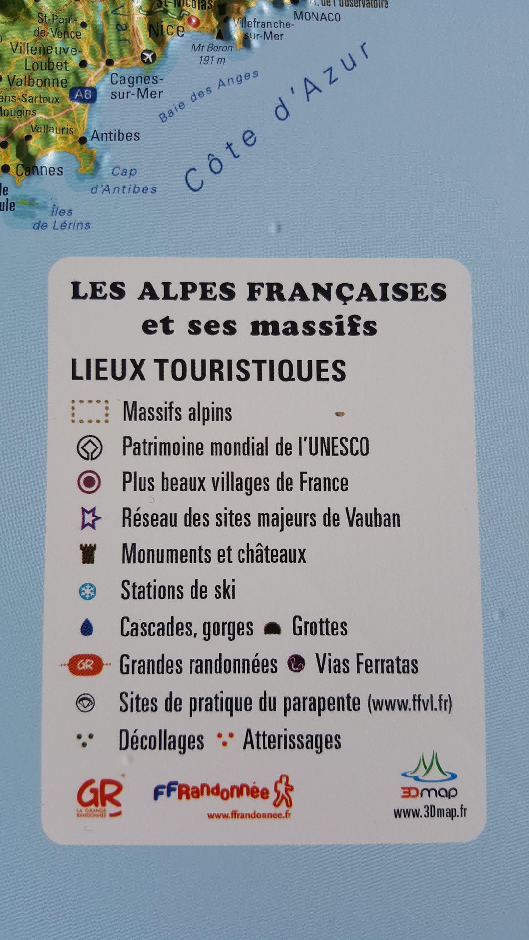
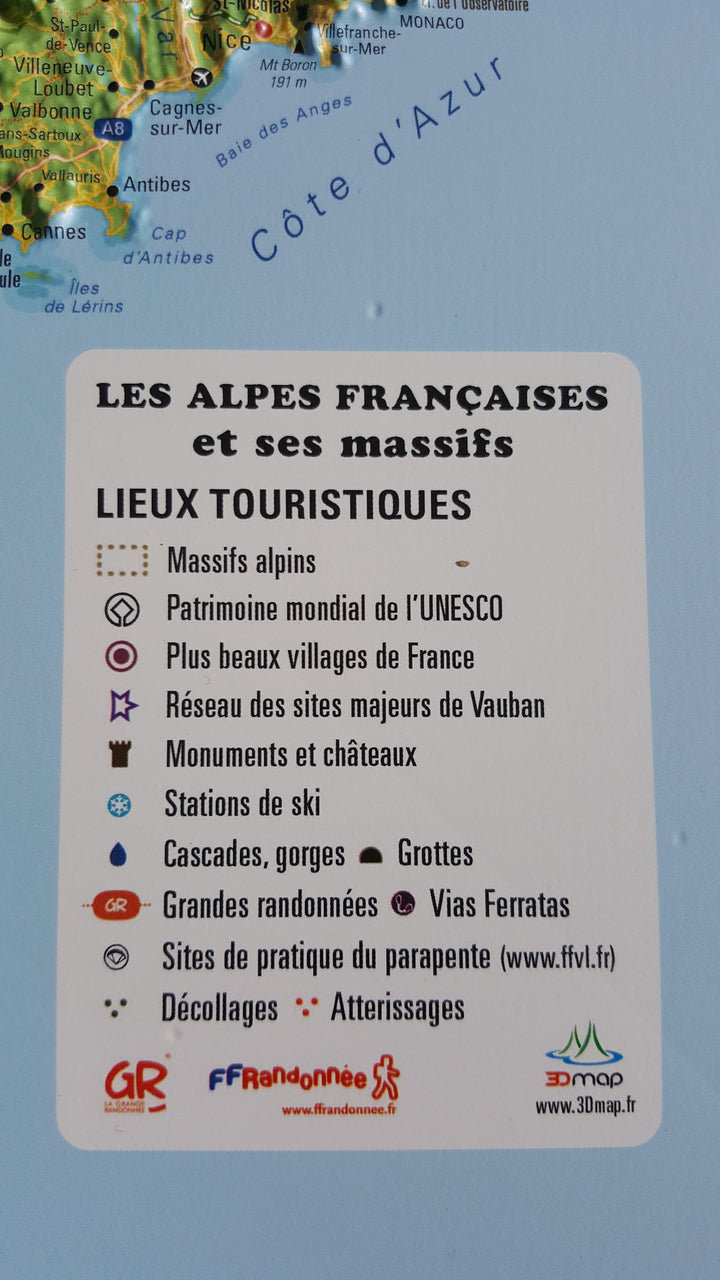
Information included on the map:
• Hydrological and natural data - Administrative data (roads, municipalities)
• UNESCO World Heritage Sites - The Most Beautiful Villages of France
• Les monuments and castles of legends - Ski stations reputed
• Thermal stations - Cascades, Gorges and Caves
• Glaciers and peaks - Alpine massifs
• Scale 1: 650 000
ISBN / EAN : 9782955772904
Date de publication : 2016
Echelle : 1/650,000 (1cm=6.5km)
Dimensions déplié(e) : 41cm x 61cm
Langue : French
Poids :
136 g


