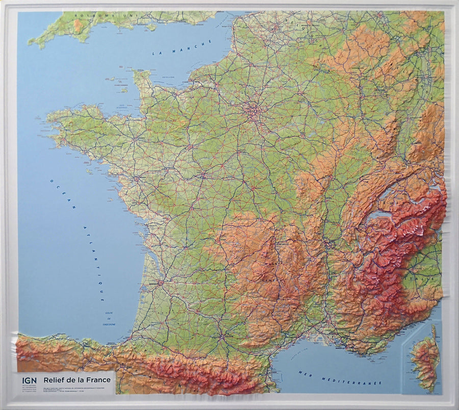
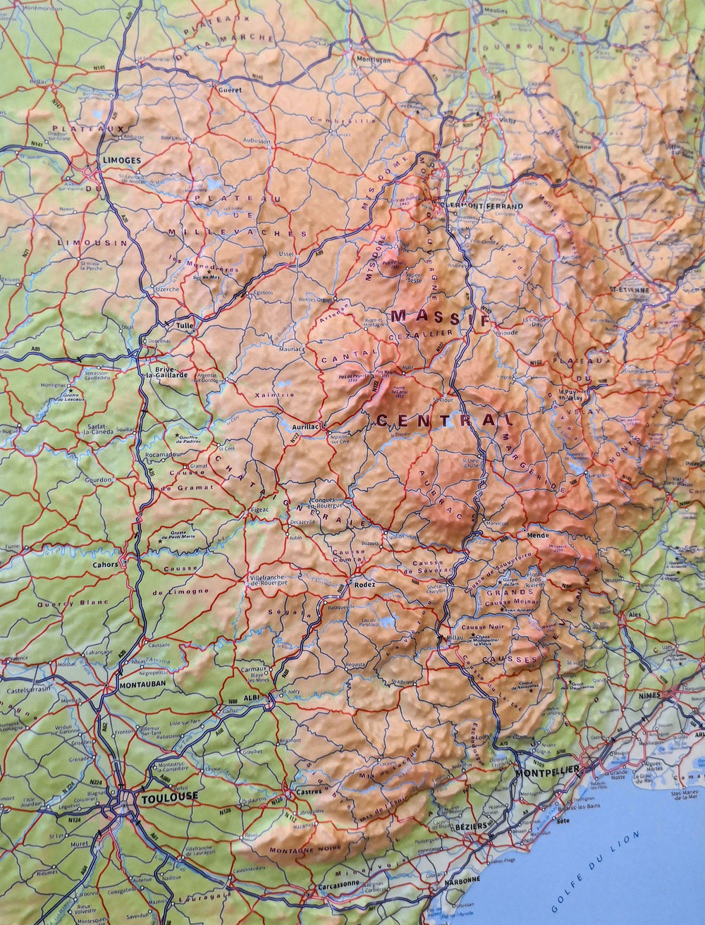
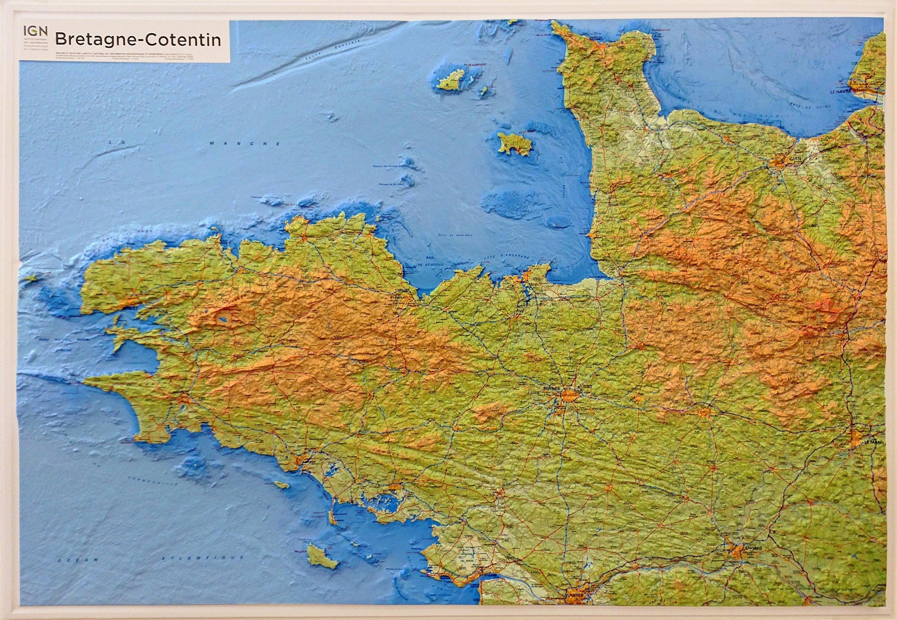
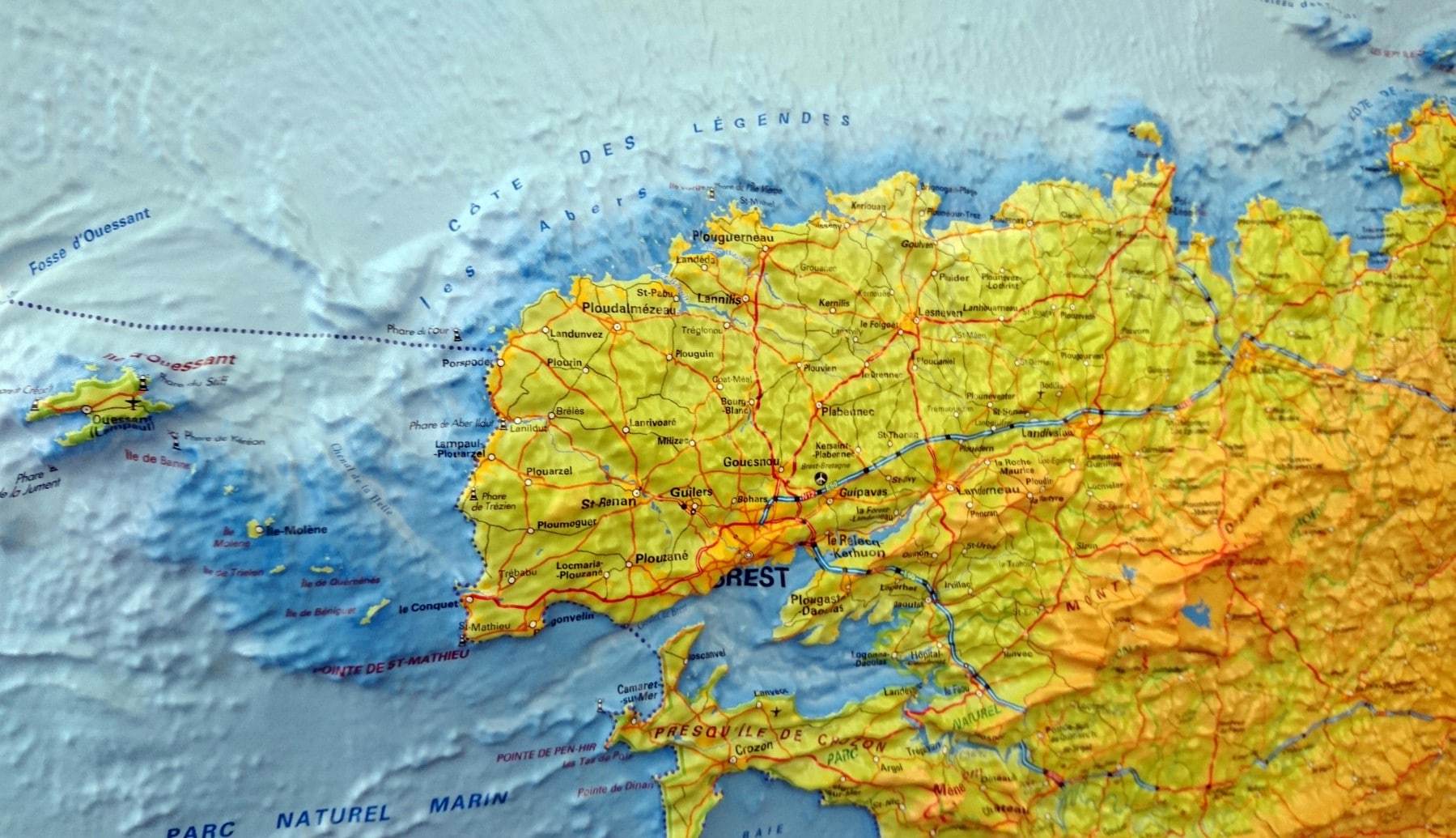
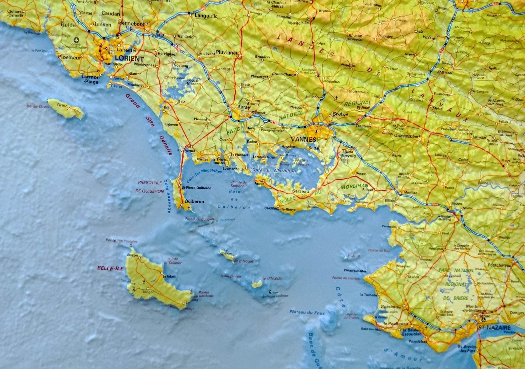
Carte murale en relief - Bretagne & Cotentin | IGN carte relief grande dimension IGN

Relief Wall Map - Brittany & Cotentin - 80 x 113 cm | IGN (French)

Relief Wall Map - Brittany & Cotentin - 80 x 113 cm | IGN (French)

Regular price $127.00
/
  • Shipping within 24 working hours from our warehouse in France (France and Belgium only)
  • Delivery costs calculated instantly in the basket
  • Real-time inventory
  • Low stock - 1 item left
  • Backordered, shipping soon
Tax included.

Embossed wall map of Brittany and Cotentin that also highlights seabed. Relief maps are another way to apprehend the representation of a region, a mountainous massif, or from France, thanks to 3D.

Decorative element or educational tool, you choose the function of this embossed map of the IGN.

  • Dimensions: 80 x 113 cm
  • Scale Planimetric: 1/380 000 (1 cm = 3.8 km).
  • altimetric ladder: 1/25 000
  • Bathymetric ladder: 1: 10,000


ISBN / EAN : 9782758540748
Date de publication : 2017
Echelle : 1/380,000 (1cm=3.8km)
Impression: front
Dimensions déplié(e) : 80 x 113cm
Langue : French
Poids : 1395 g

Customer Reviews

Based on 1 review
100%
(1)
0%
(0)
0%
(0)
0%
(0)
0%
(0)
L
Lionel C. (Paris, FR)
Superbe

magnifique carte