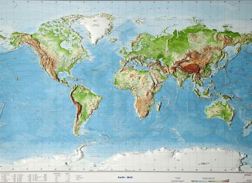
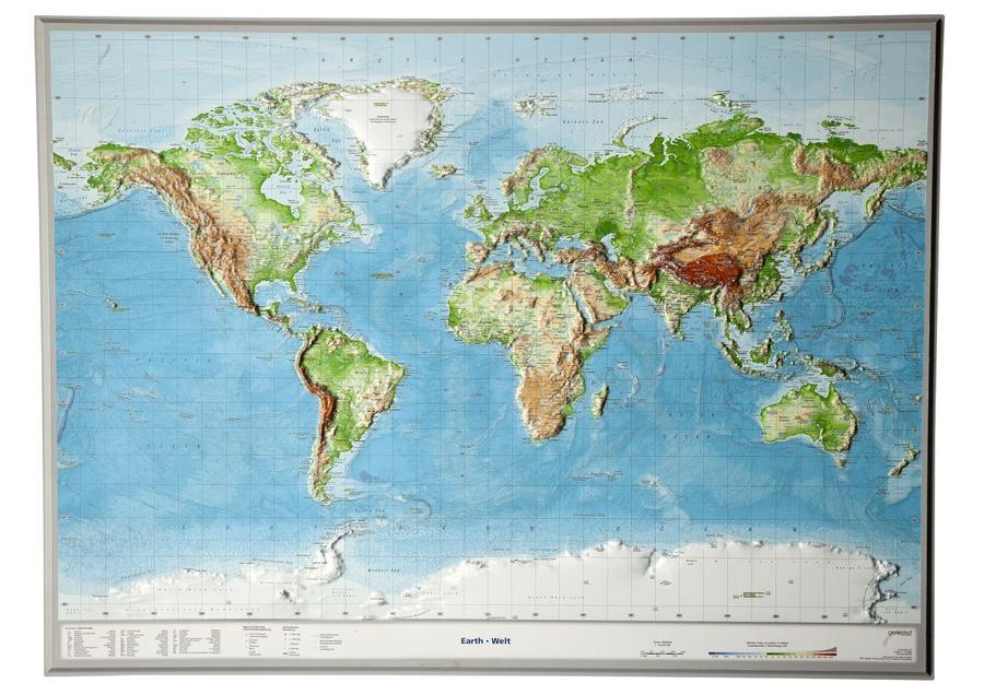
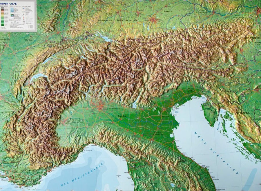
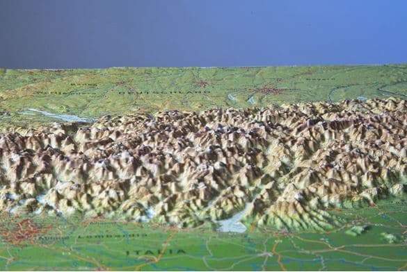
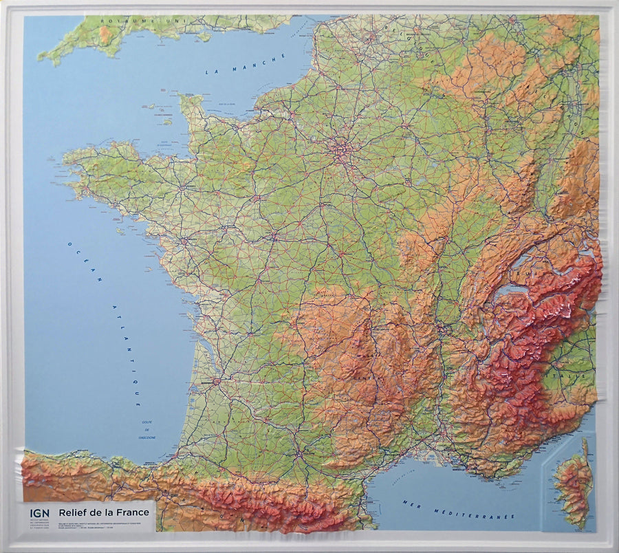
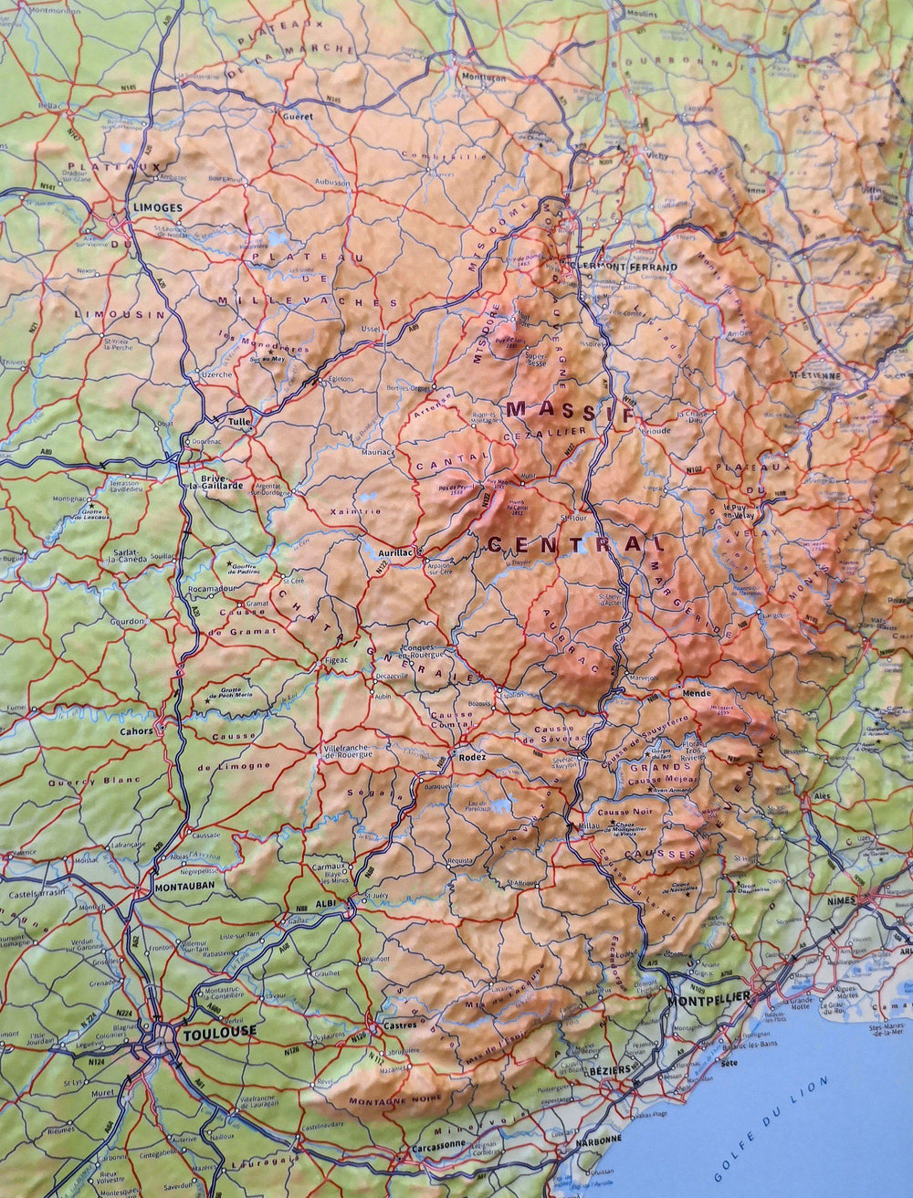
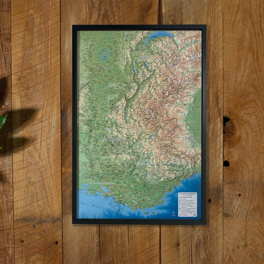
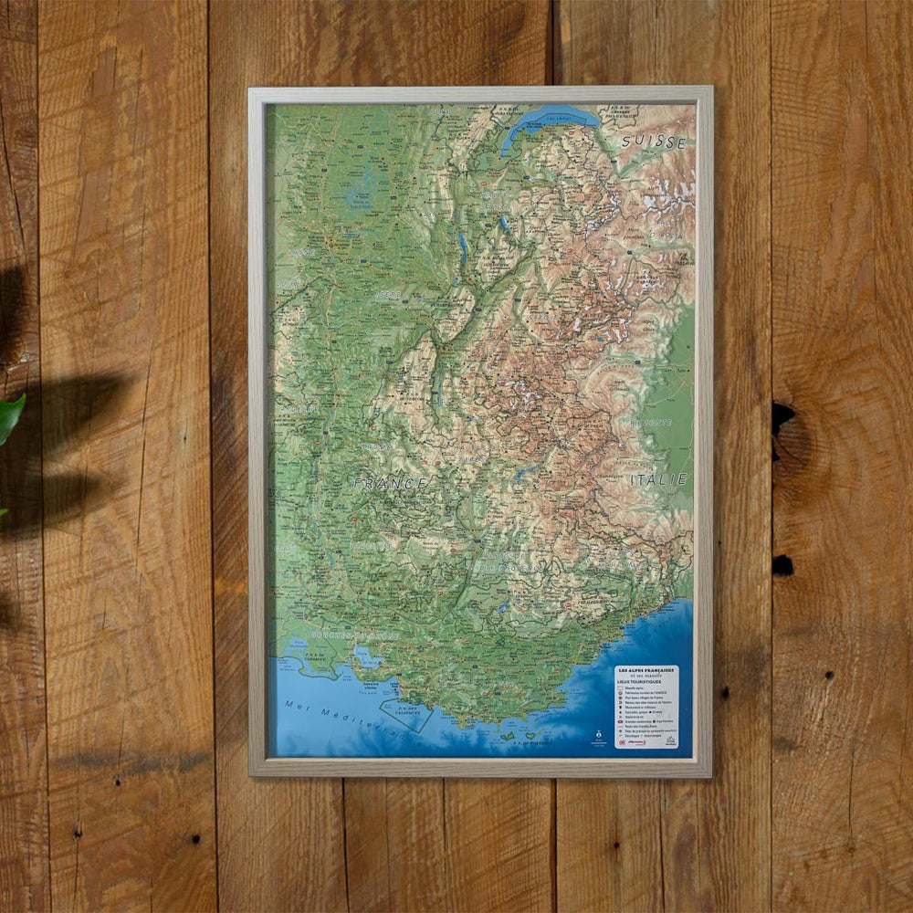
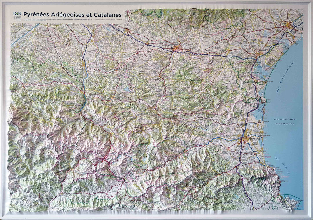
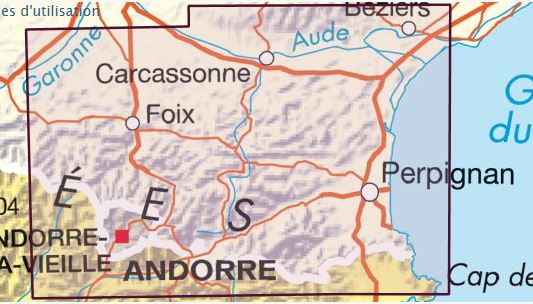
Relief Wall Map - Pyrenees Aiege and Catalan - 113 x 80 cm | IGN (French)

Carte en relief - Pyrénées ariégeoises et catalanes | IGN carte relief grande dimension IGN

Relief Wall Map - Pyrenees Aiege and Catalan - 113 x 80 cm | IGN (French)

Regular price $128.00
/
  • This product can be shipped to France and Belgium only
  • Delivery costs calculated instantly in the cart
  • Real-time inventory
  • Low stock - 2 items left
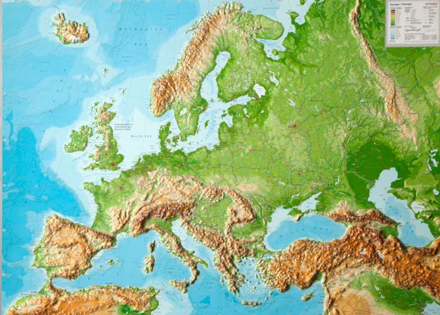
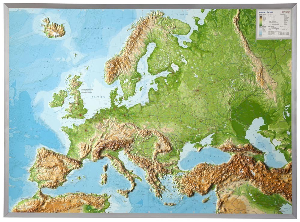
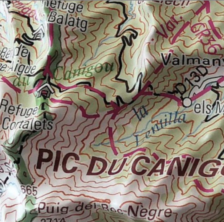
  • Inventory on the way
Tax included.

Often purchased together:

Wall Map in relief of Ariege and Catalan Pyrenees . The covers of Beziers in Collioure, and Foix in Perpignan.
This map includes:
- The Regional Natural Park of the Pyrenees Ariégeoises,
- The Regional Natural Park of Pyrenees Catalan,
- The Canigou Massif, France - The Vermeille Coast.
  • Dimensions: 113 x 80 cm.
  • Planimetric Scale: 1/180 000 (1 cm = 1.8 km).
  • altimetric ladder: 1/85 000

    Relief maps are another way to apprehend the representation of a region, a mountainous massif, or France, thanks to 3D.

    Decorative element or educational tool, you choose the function of this embossed map of the IGN.


ISBN / EAN : 9782758544562
Date de publication : 2018
Echelle : 1/180,000 (1cm=1.8km)
Impression: front
Dimensions déplié(e) : 113 x 80cm
Langue : French
Poids : 1395 g

Customer Reviews

Based on 4 reviews
75%
(3)
25%
(1)
0%
(0)
0%
(0)
0%
(0)
S
Sara W. (Chelmsford, GB)
Carte Pyrénées ariégeoises

Tres belle carte - arrivée a la date prévue . Très bon service clientèle.
A recommander !

C
Claire F. (Paris, FR)
ce que nous attendions !

Carte très parlante !

F
Fanny Z. (Saint-Paul-de-Jarrat, FR)
Trsè bien

Je suis satisfaite de la carte, le seul petit bémol que je puisse dire c'est que les routes (notamment les autoroutes) sont trop larges sur la carte.

S
Serge C.
Très belle carte

Très belle carte