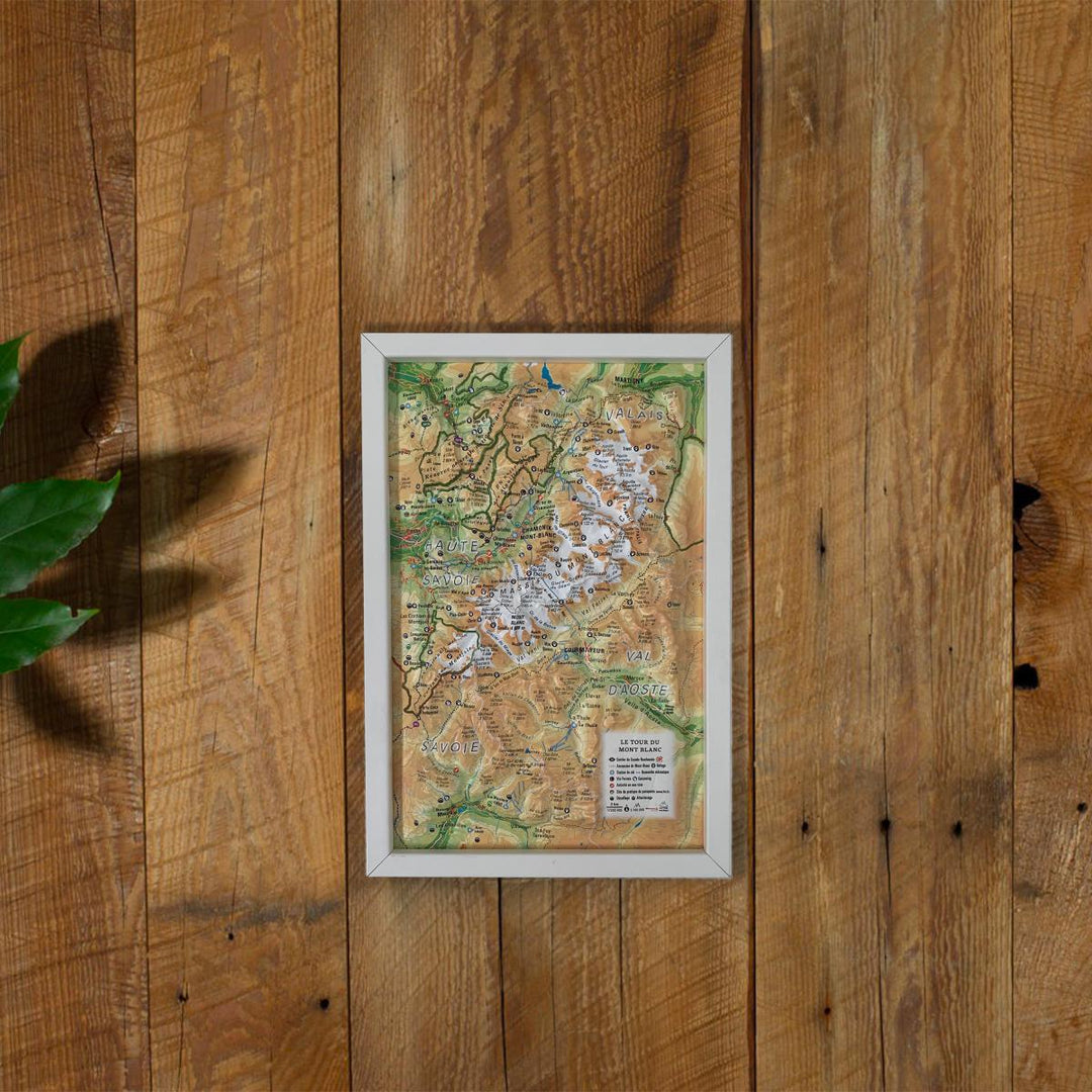
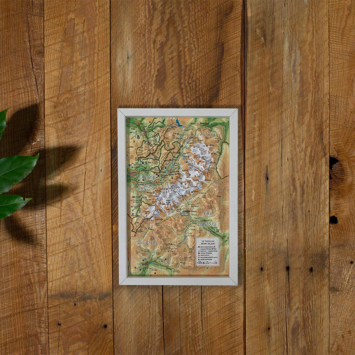
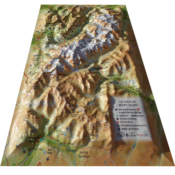
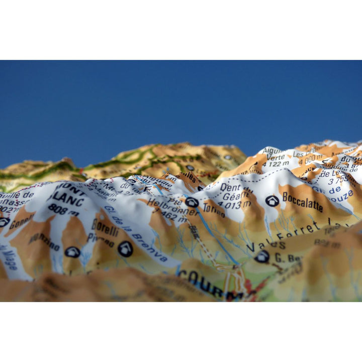
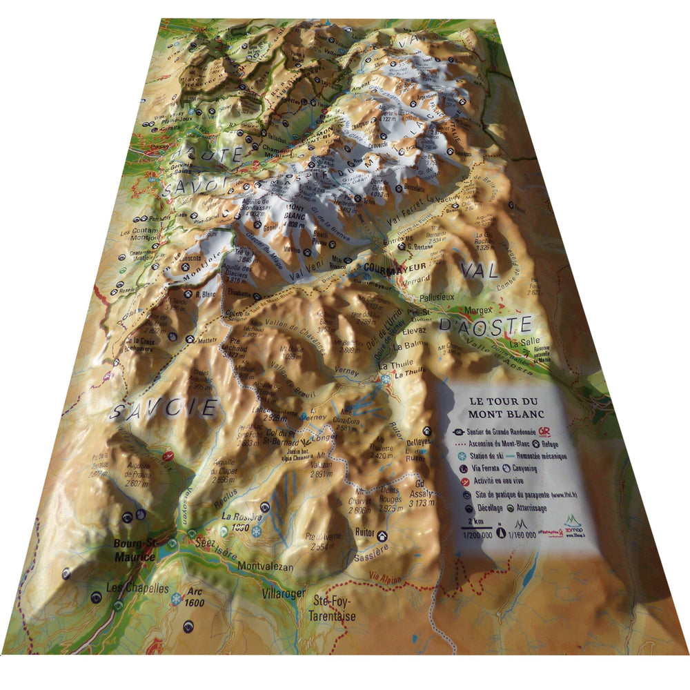
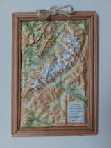
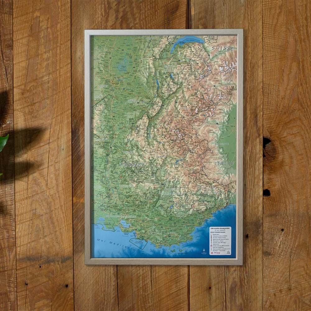
3D Raised relief map - Mont Blanc Tour (19.5 cm x 29.5 cm) | 3D Map (French)

Price
Regular price $21.00
Regular price Sale price $21.00
Save $-21
/
  • Shipping within 24 working hours from our warehouse in France
  • Delivery costs calculated instantly in the basket
  • Free returns (*)
  • Real-time inventory
  • In stock, ready to ship
  • Backordered, shipping soon
Tax included.

Often purchased together:

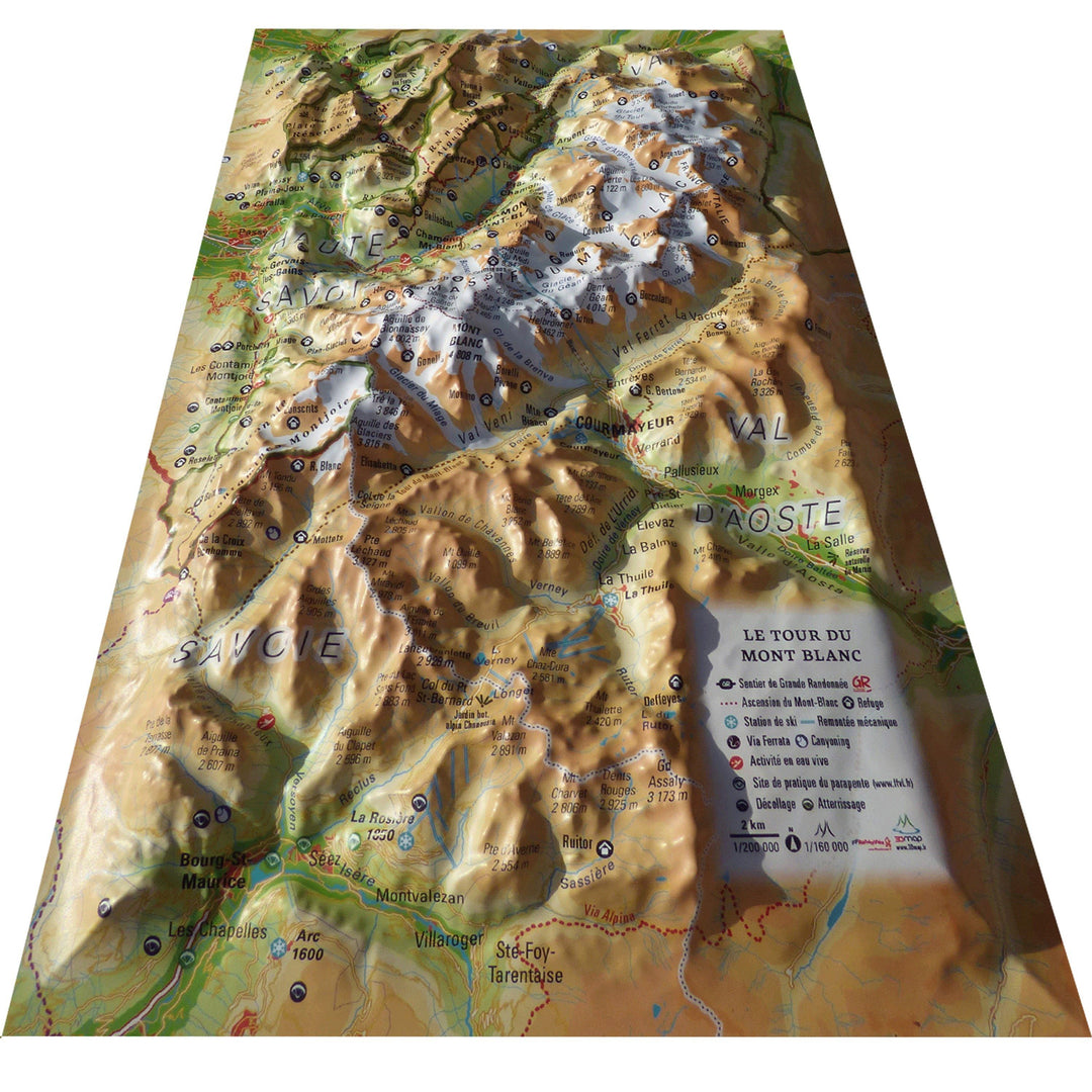
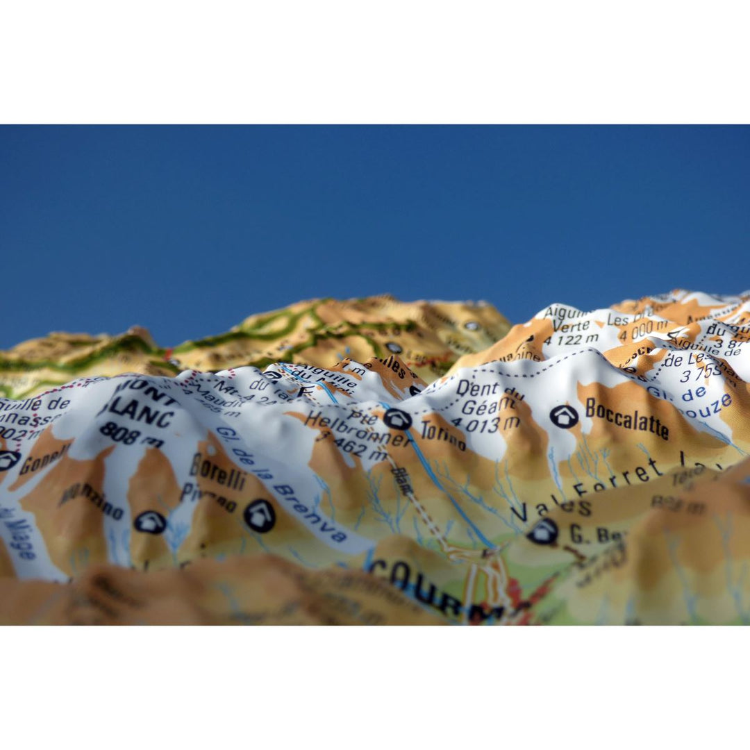
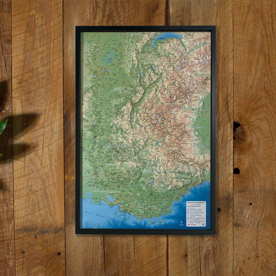
Relief wall map that covers the Tour of Mont Blanc.

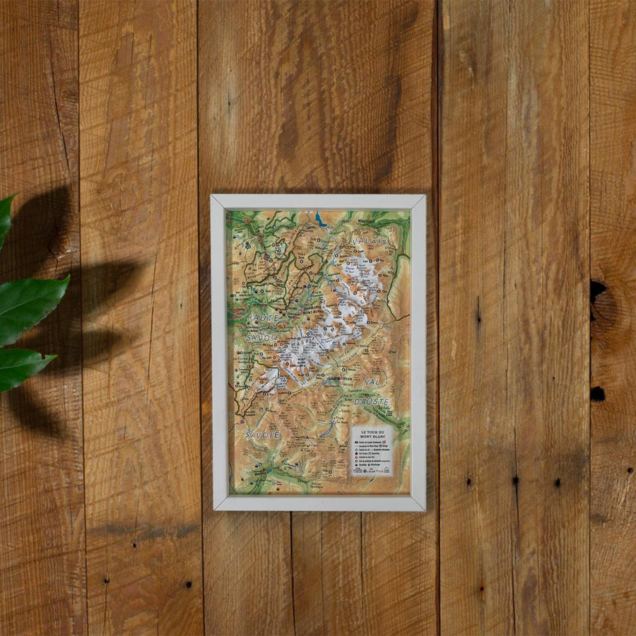
A finishing frame is also available as an option: We highly recommend it to make hanging easier and to enhance the appearance of your map.

Information included on the map:
- General data:
• Hydrological, natural and hypsometric data - Administrative data
• Glaciers, vertices, rocks

- Sports sites, Hiking:
• Ascension of Mont Blanc
• Large hiking trails
• Refuge and cottage
• Canyoning sites • Ski lift
• Belvédères, Orientation Tables < BR> • Ski Resorts
• Live Water Activity
• Paragliding Practice Sites (www.ffvl.com)
• Takeoffs, Landings
• Airports, Aerodromes

- Scale & Dimensions:
• Planimetric Scale: 1: 200 000
• Altimetry Scale: 1: 120,000
• 19.5 cm x 29.5 cm


ISBN/EAN : 9791097206246
Publication date: 2020
Scale: 1/200,000 (1cm=2km)
Unfolded dimensions: 19.5cm x 29.5cm
Language(s): French
Weight: 32 g

Customer Reviews

Based on 4 reviews
100%
(4)
0%
(0)
0%
(0)
0%
(0)
0%
(0)
M
Mr I.B. (Dublin, IE)
Exactly what I was looking for

Having recently completed the TMB with my son I purchased two of these as a momento to remember the adventure. I was delighted with the quality and have mine mounted on the wall at home along with pictures of the trip.

L
LAHIHU (Paris, FR)

suffisamment bien pour l'usage que je veux en faire

G
Garance A. (Prevessin-Moens, FR)
Belle carte du TMB

Petit format, carte bien faite avec le tracé classique du tour du Mont Blanc ( sans les variantes ). Joli souvenir du trek.

C
CHRISTINE M. (Brussels, BE)
TRES BELLE CARTE

On peut bien voir le trajet du tour du mont blanc grâce à cette carte