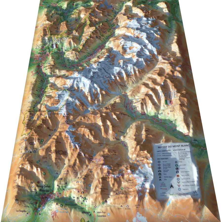
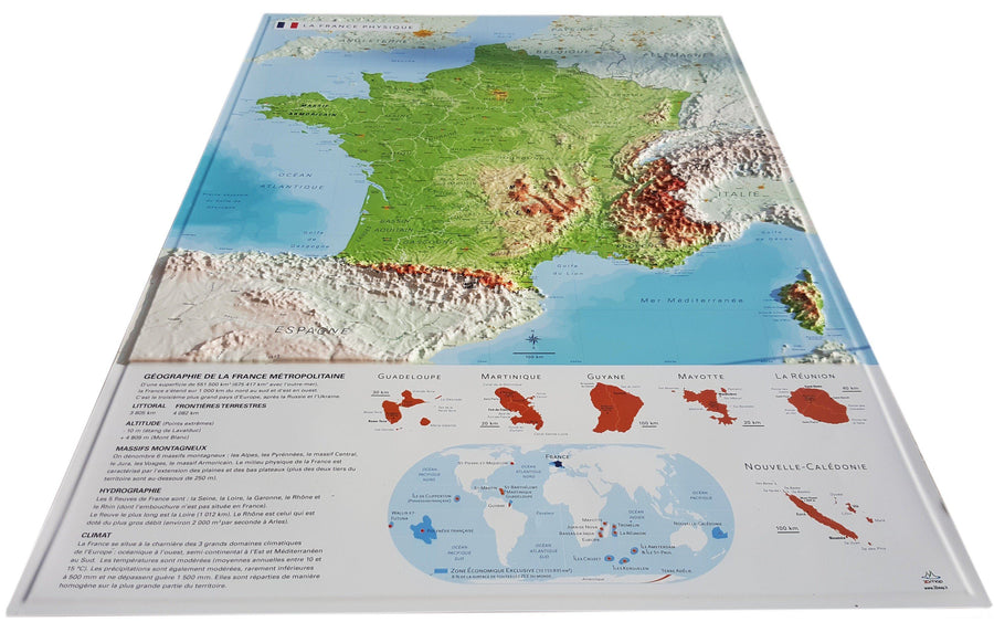
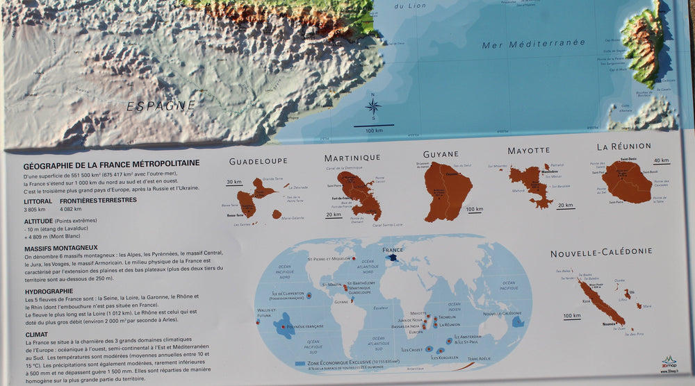
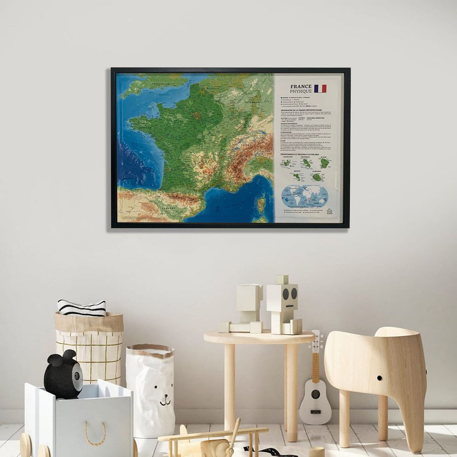
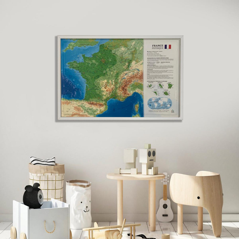
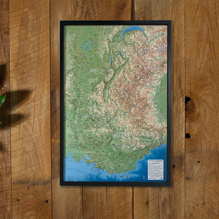
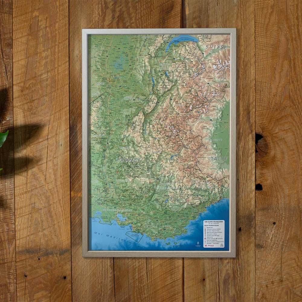
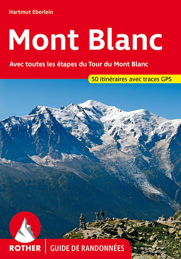
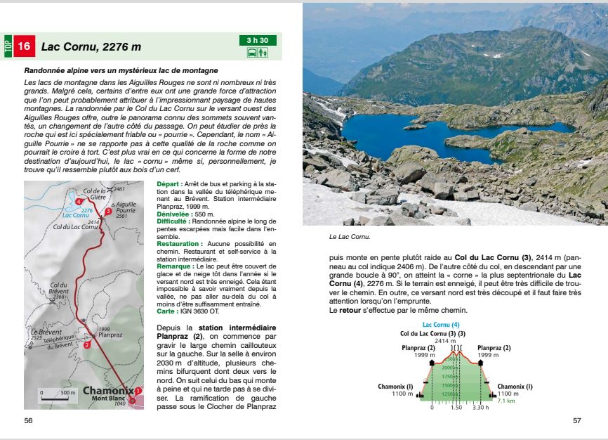
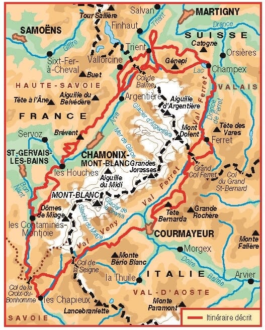
Relief Wall map that covers the Mont Blanc massif.
A finishing frame is also available as an option: We highly recommend it to make hanging easier and to enhance the appearance of your map.
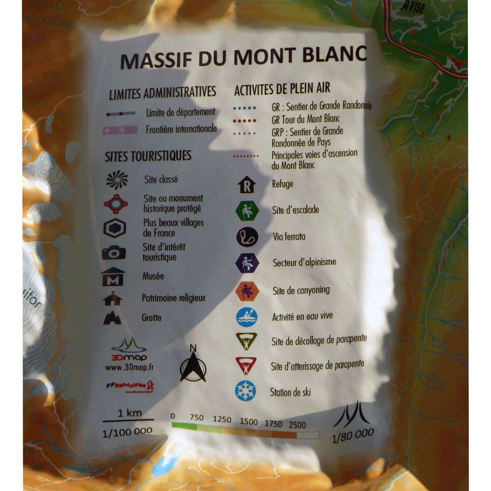
Information included on the map:
- Tourist attractions :
- Classified site
- Protected historic site or monument
- Most beautiful villages in France
- Place of tourist interest
- Museum
- Religious heritage
- Cave
- Outdoor activities :
- GR: Long - distance footpath
- GR Tour of Mont Blanc
- GRP: Long Country Hiking Trail
- Main Mont Blanc ascent routes
- Refuge
- Canyoning site
- Whitewater activity
- Paragliding take - off site
- Paragliding landing site
- Ski station
- Planimetric scale: 1: 200,000
- Altimetric scale: 1: 160,000
ISBN / EAN : 9791097206444
Date de publication : 2022
Echelle : 1/200,000 (1cm=2km)
Dimensions déplié(e) : 41cm x 61cm
Langue : French
Poids :
136 g


