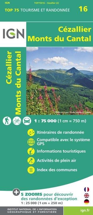
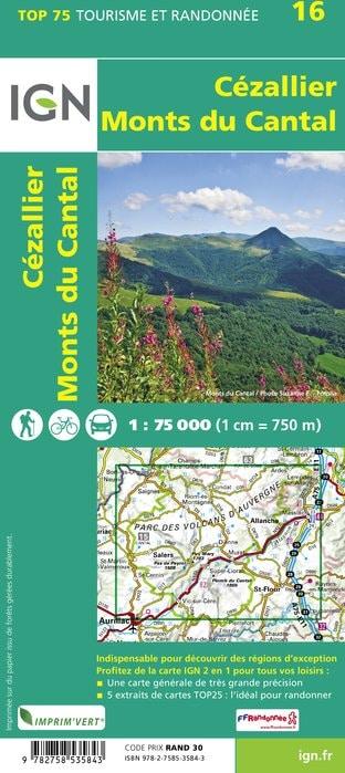
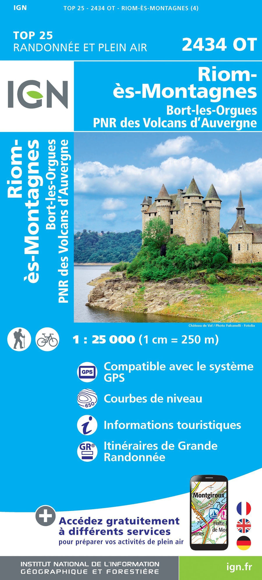
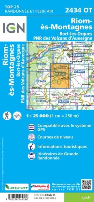
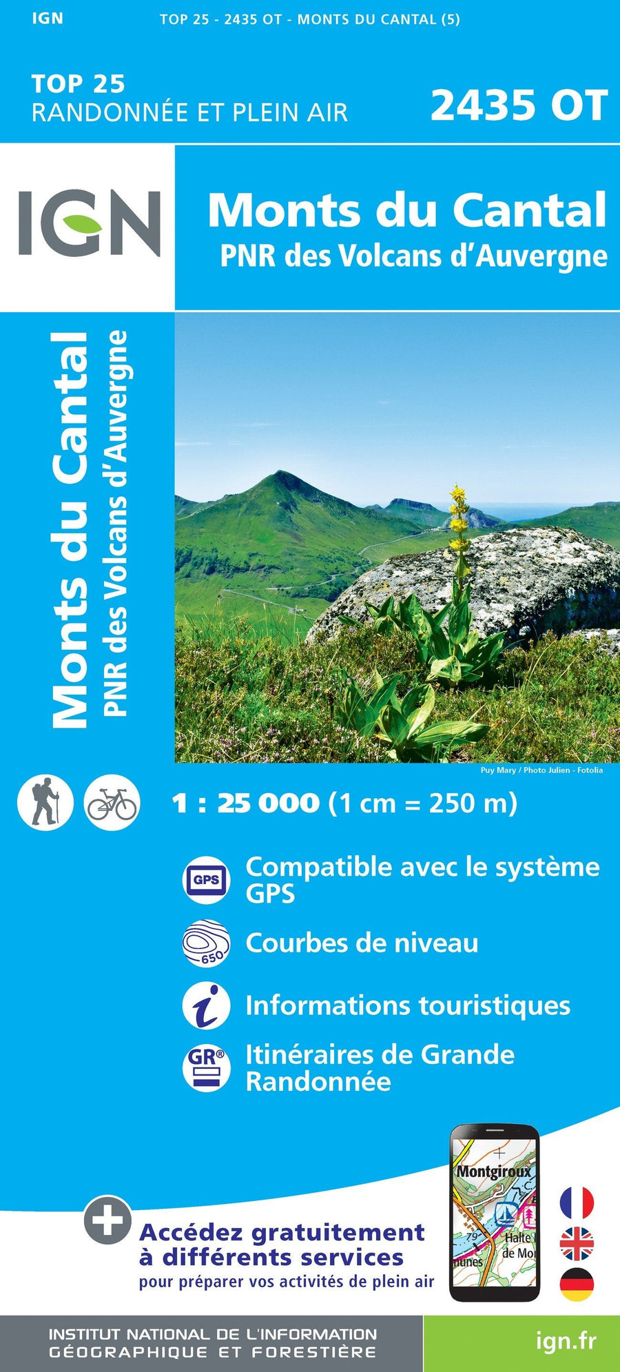
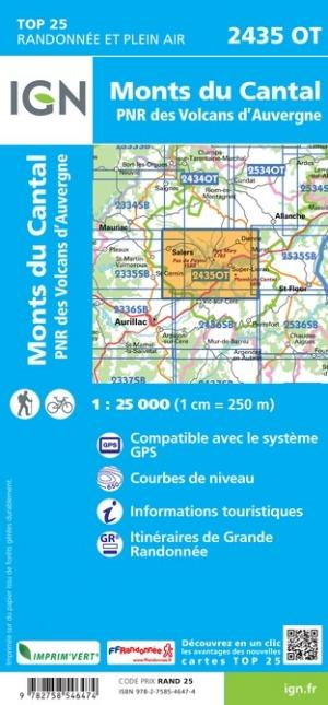
This is a Version in Posting Post Map of the Top 25 map # 2435 OT - Cantal Mountains, Auvergne Volcanoes PNR
Note: This map is laminated on request, based on the original map that is folded. The folds remain a little visible.
The map comes rolled in a mapboard tube.
An additional time of a few days is necessary for the manufacture of the map.
This product being made customized at the request of our customers, it can not be returned to us.
Covered communes : Mountains du Cantal, Volcanoes of Auvergne, Brezons, Falgoux, Fontanges, the Vaulmier, Saint - Bonnet - de - Salers, the Fa, Dienne, Cheylade, St. Paul - de - Salers, Mandals - Saint - Julien, Marmanhac, Lavigerie, Velzic, Saint - Project - de - Salers, Lascelle, Saint - Cirgues - de - Jordanne , Laroquevieille.
places to discover : Volcanoes Auvergne Natural Park, Murat Forest, Puy Violent, Puy Chavaroche, Font Col de cere, Puy de Peyre Arse, Col de Legal, # Cere, Puy du Rocher, Puy Griou, Mandall Valley, # Coming, Cantal Lead, Puy Mary, Col de Rombière, # Peyrol, Neronne Pass, Roc Château de Palmont, Cascade of Roucolle, Anjony Castle, Eylac Burons, Castle Sedidiges, St - Antoine, Cascade de la Roche, Notre - Dame de Consolation, Chateau de la Boyle, Waterfall of Faillitoux, Waterfall of Liadouze.
ISBN / EAN : 9782758546474P
Date de publication : 2019
Echelle : 1/25,000 (1cm=250m)
Impression: front
Dimensions déplié(e) : 96 x 132cm
Langue : French, English, German
Poids :
300 g


