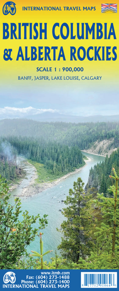
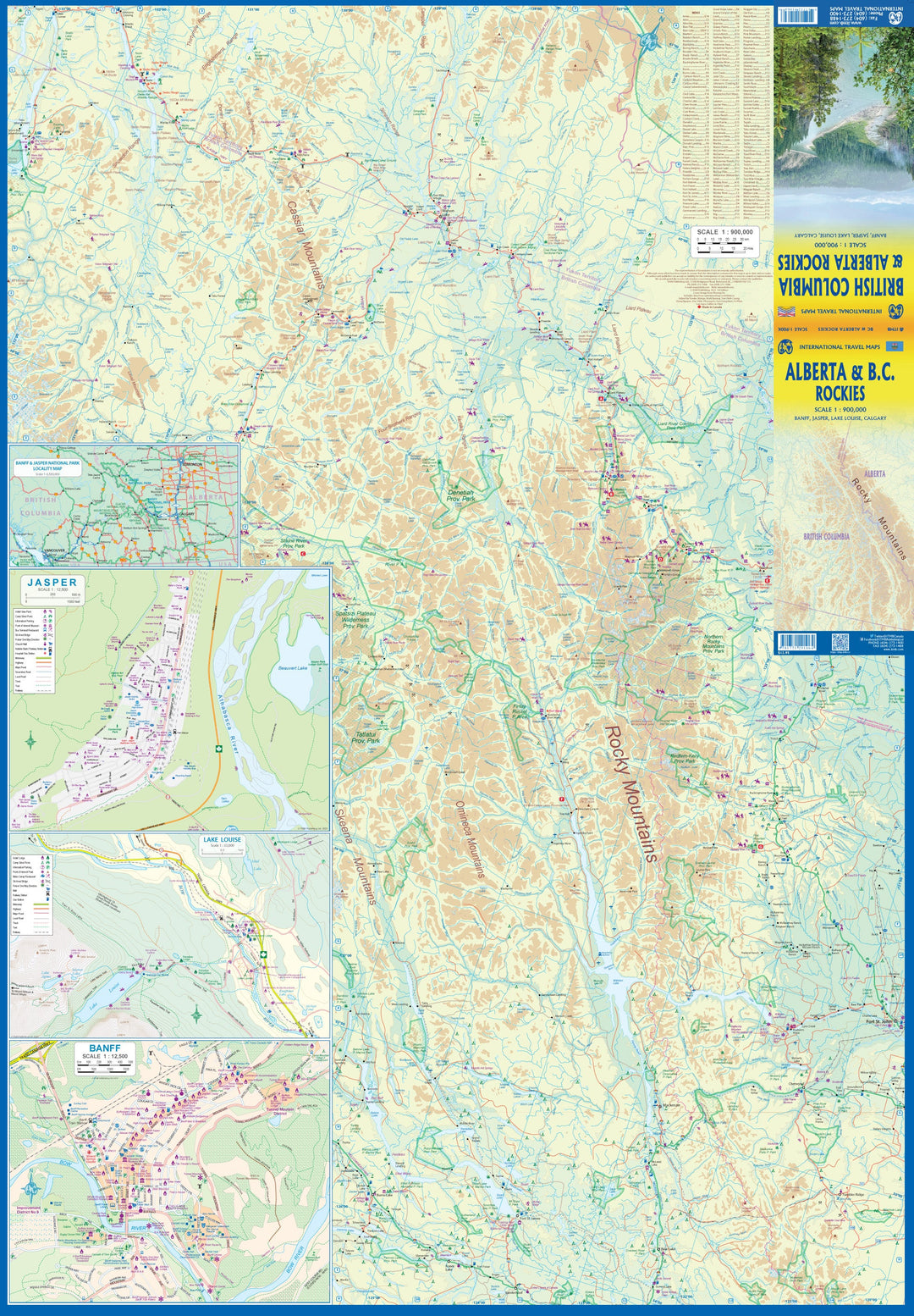
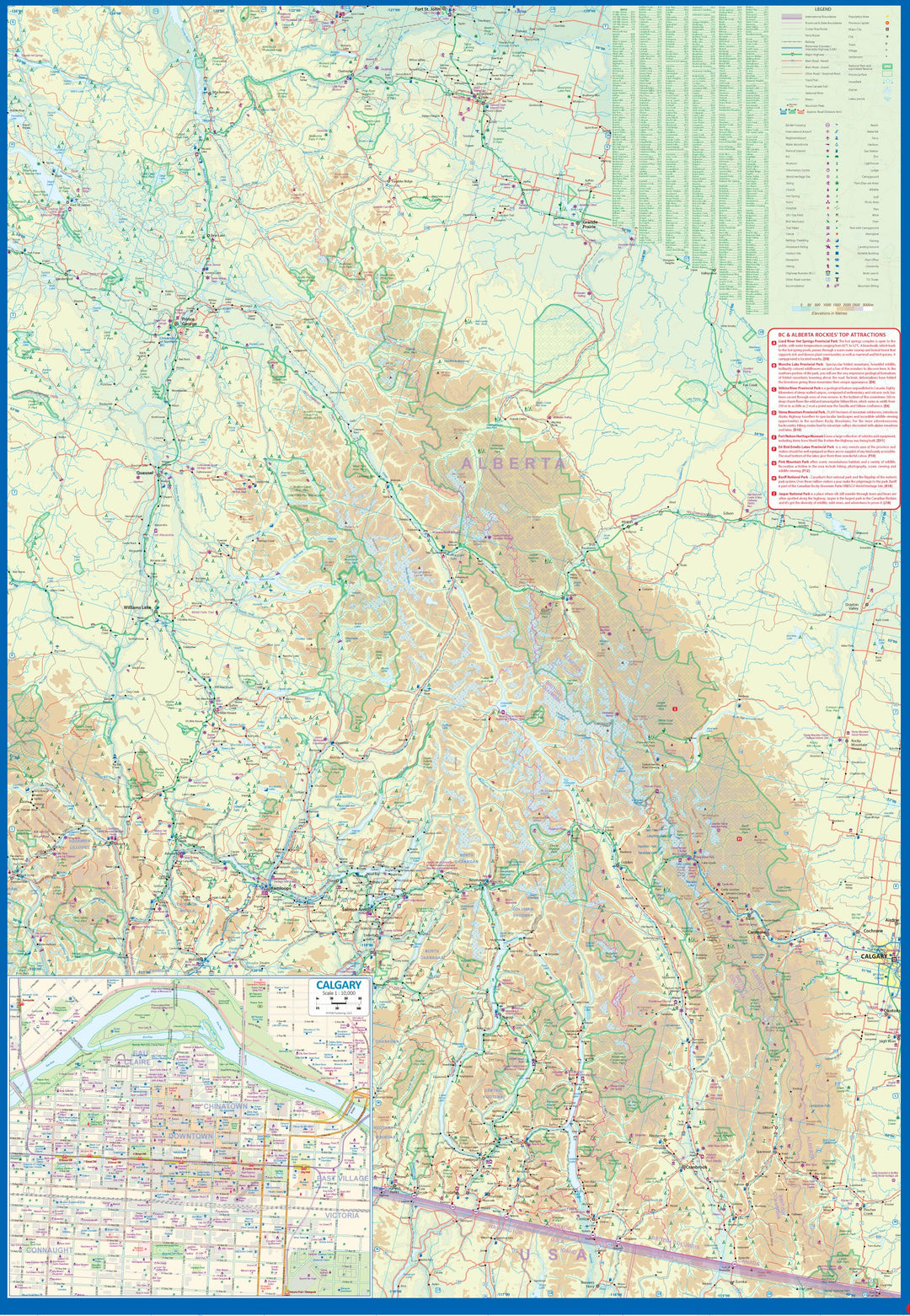
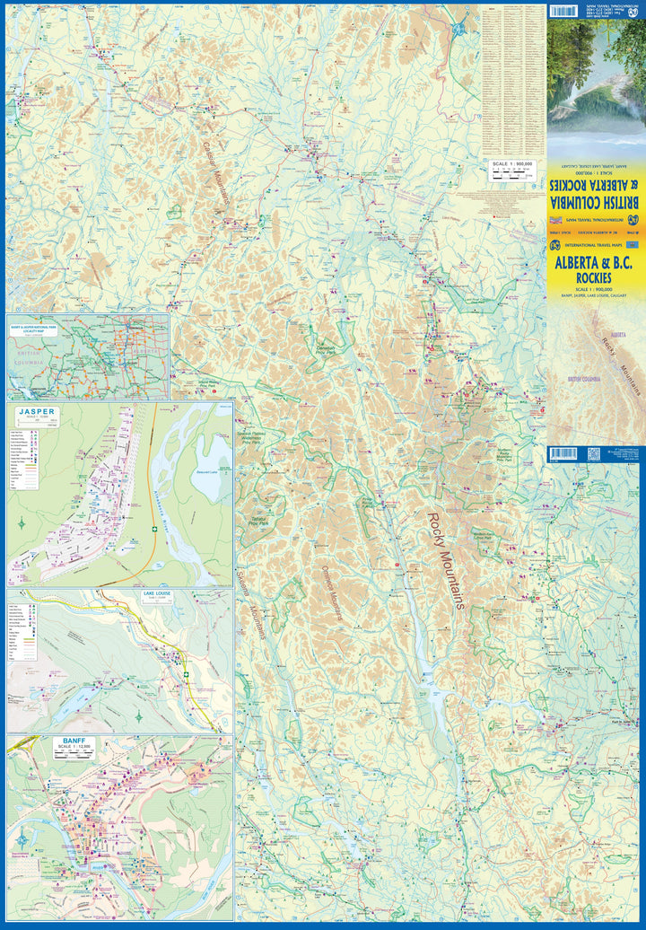
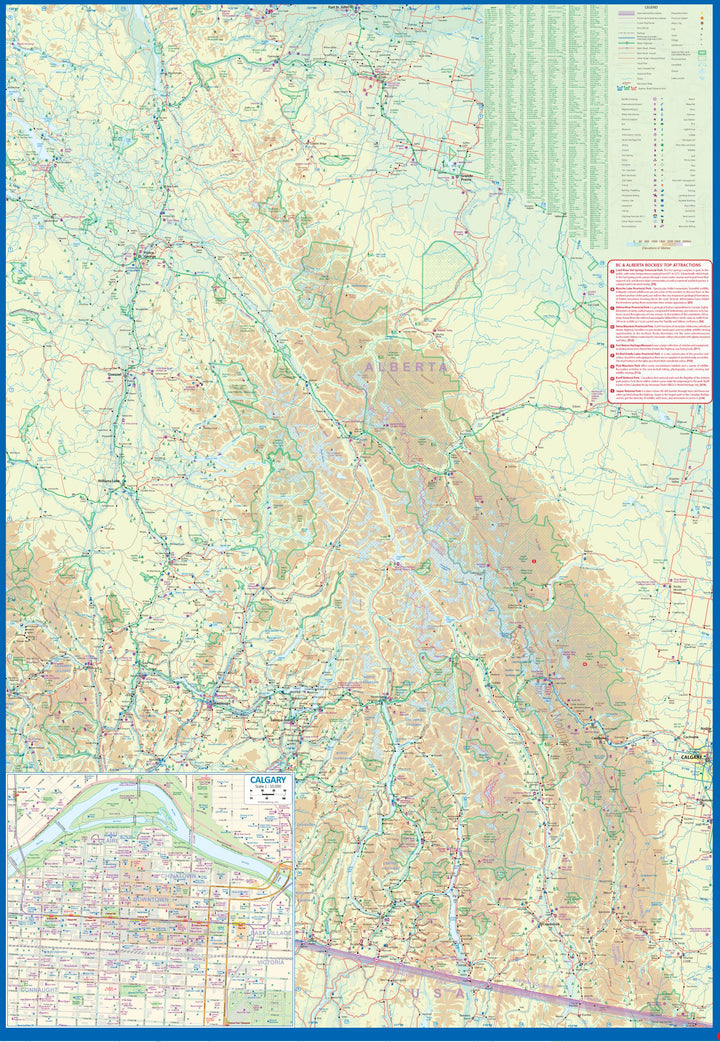
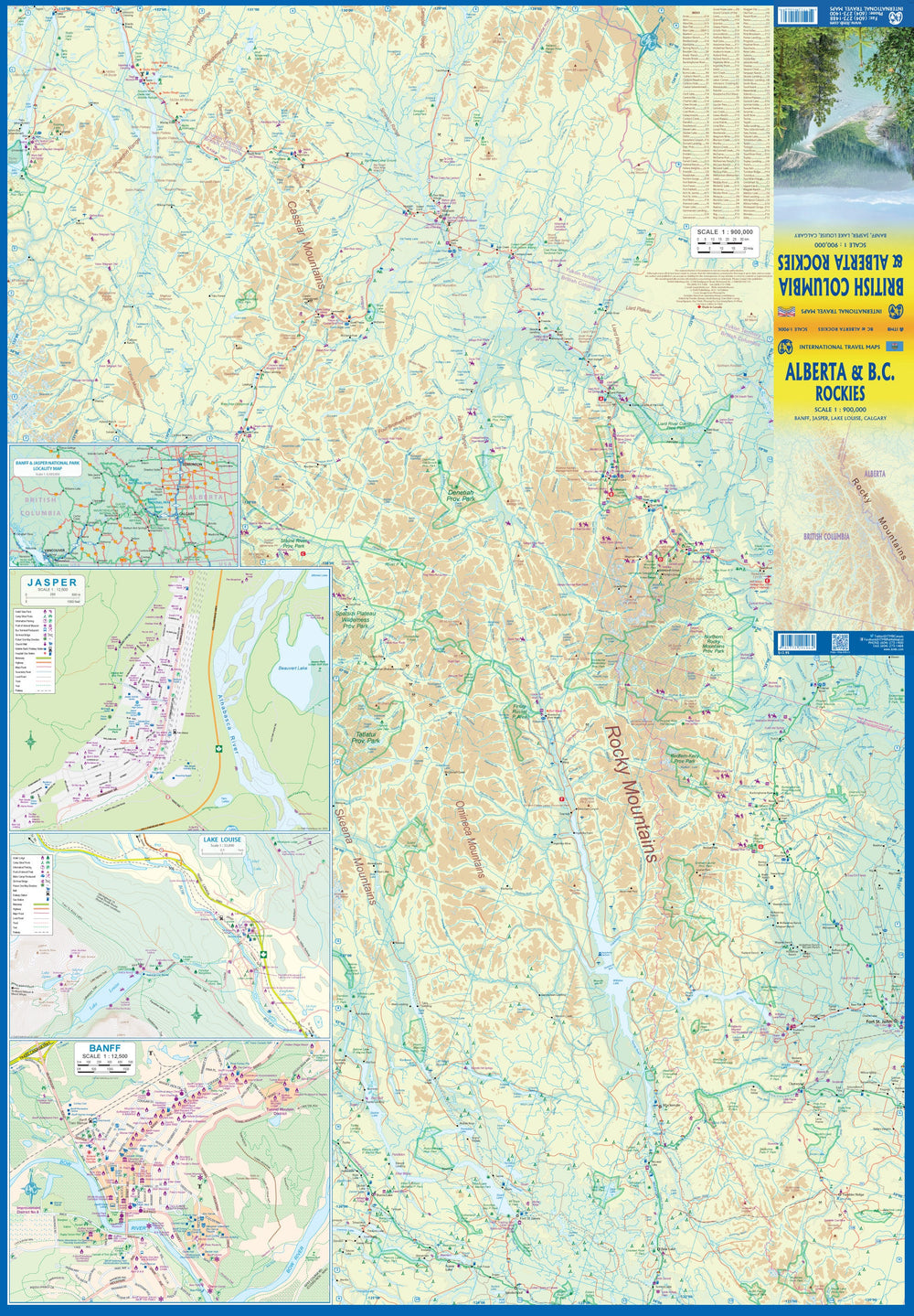
This double-sided map covers the three national parks of Banff, Jasper, and Yoho, and several provincial parks on both sides of the border, which also forms the continental divide between rivers flowing into the Pacific or Atlantic, spanning from Calgary to the northern reaches of the Fraser Canyon on one side and the northernmost reaches of the Rocky Mountains, from Fort St. John to the Yukon.
Good inset maps of Calgary, Banff, Jasper, and Lake Louise are included. This map focuses on the many recreational opportunities, with an emphasis on campgrounds, ski resorts, historic sites, and secondary roads.
ISBN/EAN : 9781771291064
Publication date: 2022
Scale: 1/900,000 (1cm=9km)
Printed sides: both sides
Folded dimensions: 24.6 x 10.3 x 0.5cm
Unfolded dimensions: 68x100cm
Language(s): English
Weight:
53 g


