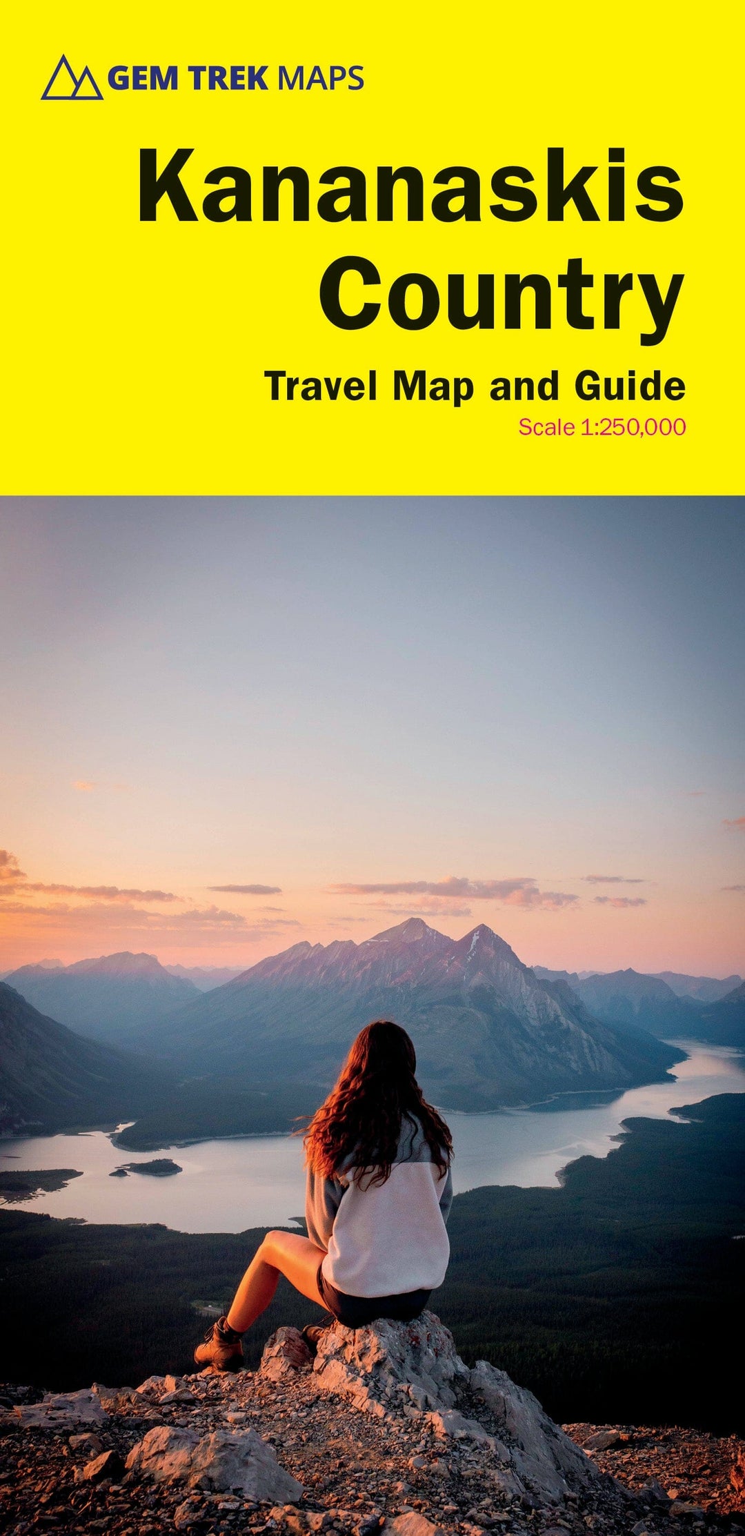
Kananaskis Country Map – Canadian Rockies - Waterproof and Tear Resistant
Whether you're a casual visitor or a long-time resident , this Gem Trek map is the perfect tool for exploring Kananaskis Country in the Canadian Rockies. Researched, designed, and printed in Canada by local experts, it features accurate cartography , subtly colored relief , and excellent readability.
🏞️ Main features:
-
1:120,000 scale : perfect for an overview while remaining fairly detailed
-
Waterproof and ultra-resistant synthetic paper , infinitely foldable
-
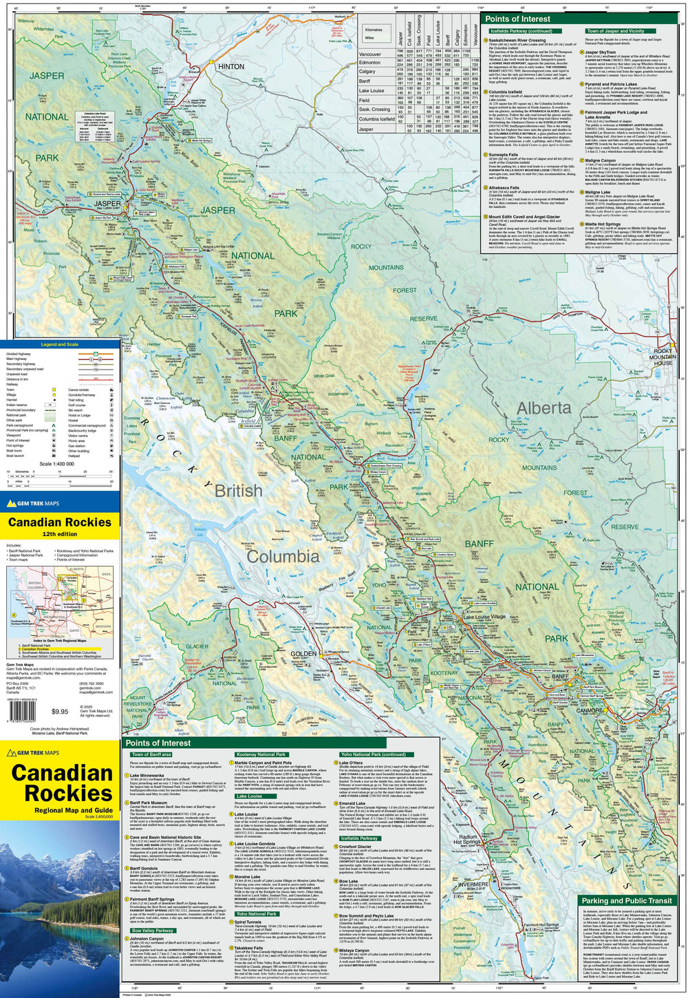
Numbered hikes and points of interest , easily located on the map and described on the back
-
All peaks indicated with altitude , as well as lakes, rivers, waterfalls and other natural landmarks
📍 Back of the card:
-
Descriptions of must-see hikes and major sites to discover
-
Detailed maps inset for:
-
Kananaskis Village
-
Cataract Creek Area
-
-
Practical information:
-
Geology , history , fauna , ecoregions
-
Outdoor activities, weather, campsites, accommodation, reception centers
-
ISBN/EAN : 9781990161124
Publication date: 2024
Scale: 1/120,000 (1 cm = 1.2 km)
Printed sides: both sides
Folded dimensions: 24.5 x 11.5 x 0.5cm
Unfolded dimensions: 100 x 69cm
Language(s): English
Weight:
56 g


