Greater Boston and Eastern Massachusetts Regional by Rand McNally

Greater Boston and Eastern Massachusetts Regional | Rand McNally

Price
Regular price $10.00
Regular price Sale price $10.00
Save $-10
/
  • Shipping within 48 business hours from our warehouse in the USA. For this product, customs fees may be requested by the carrier upon delivery.
  • Delivery costs calculated instantly in the basket
  • Free returns (*)
  • Real-time inventory
  • In stock, ready to ship
  • Backordered, shipping soon
Tax included.

Often purchased together:

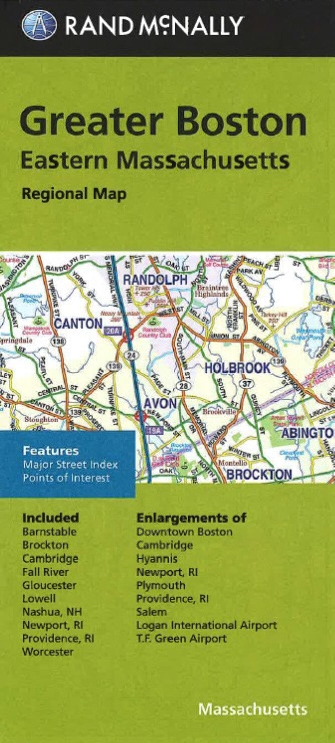
City map of Boston, Massachusetts with legend and insets of Cambridge, Hyannis, Newport RI, Plymouth, Providence RI, Salem, Logan International Airport, T.F. Green Airport, and downtown Boston. Chart of street index, schools and shopping malls.


ISBN/EAN : 9780528008924
Publication date: 2014
Folded dimensions: 9.06 inches x 4.33 inches (23 x 11 cm)
Unfolded dimensions: 38.58 inches x 26.77 inches (98 x 68 cm)
Language(s): English
Weight: 70 g

Customer Reviews

Be the first to write a review
0%
(0)
0%
(0)
0%
(0)
0%
(0)
0%
(0)
More from Boston
Plan plastifié - Boston | Borch Map carte pliée Borch Map
Laminated plan - Boston | Borch Map
Borch Map
$10.00
Carte de voyage - Nouvelle-Angleterre & Plan de Boston | ITM carte pliée ITM
Travel map - New England & Boston Plan | ITM
ITM
$13.00