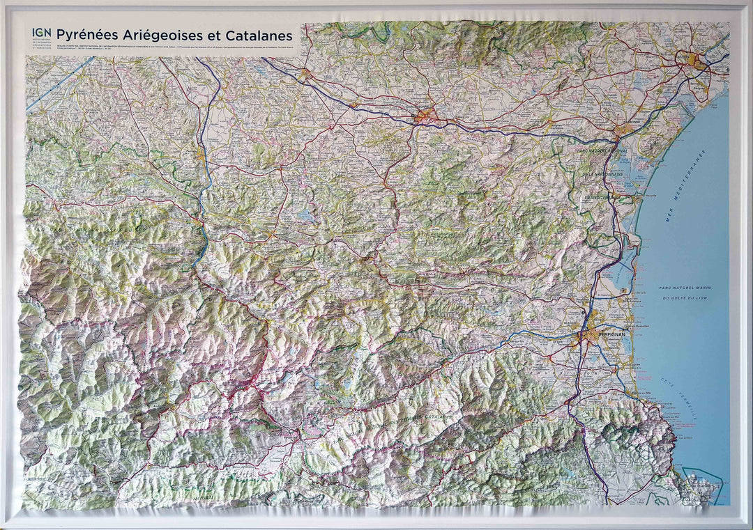
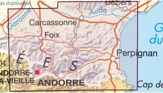
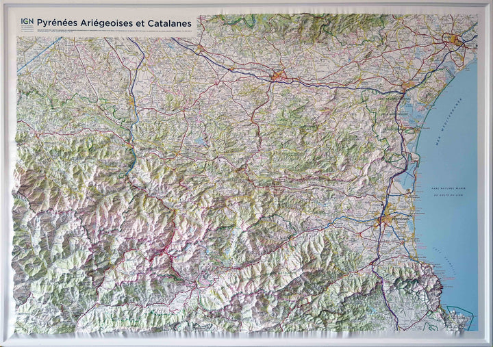
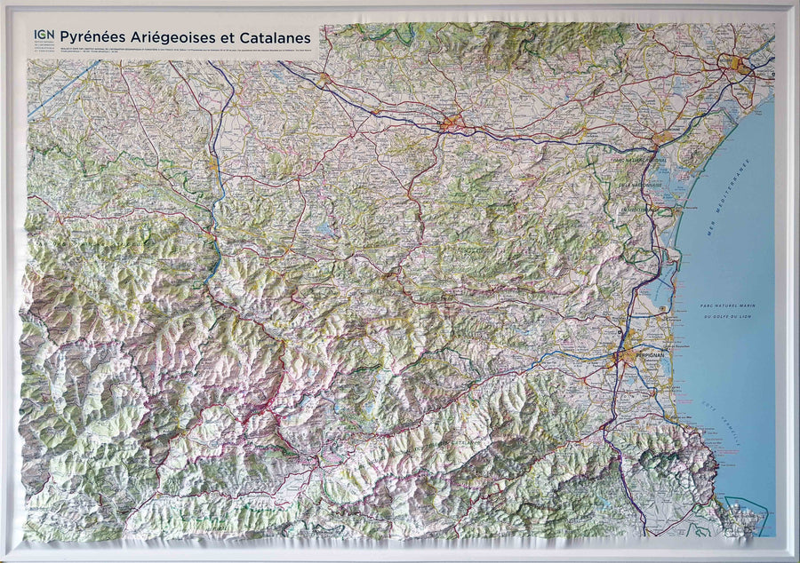
This map includes:
- The Regional Natural Park of the Pyrenees Ariégeoises,
- The Regional Natural Park of Pyrenees Catalan,
- The Canigou Massif, France - The Vermeille Coast.
- Dimensions: 113 x 80 cm.
- Planimetric Scale: 1/180 000 (1 cm = 1.8 km).
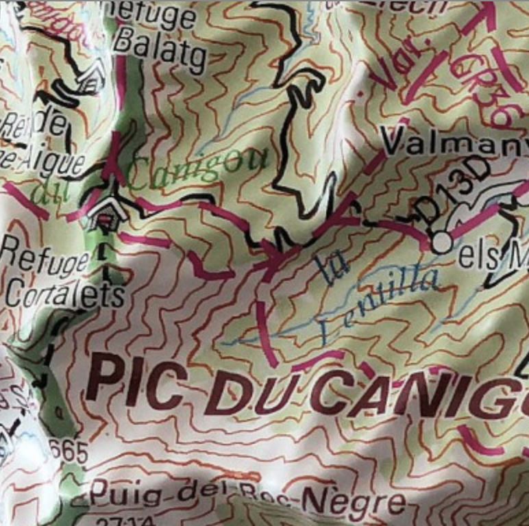
- altimetric ladder: 1/85 000
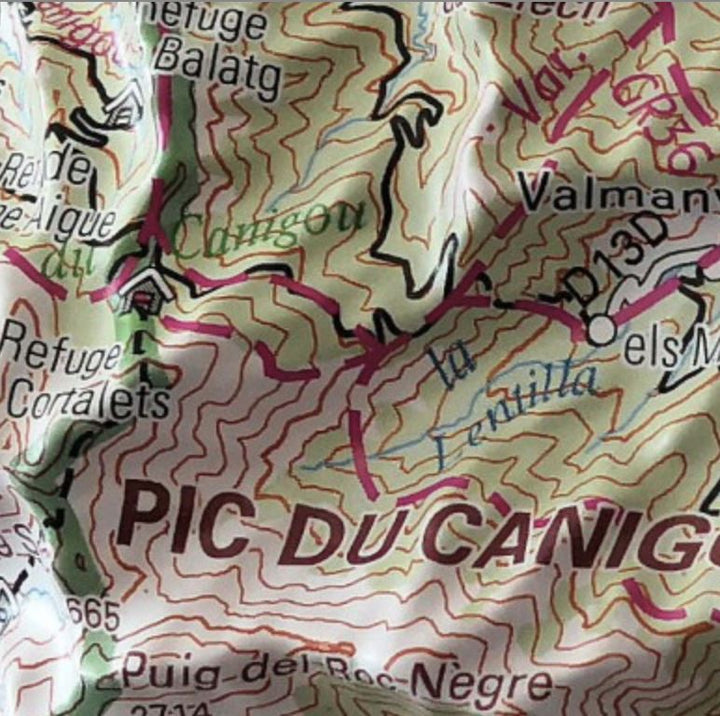
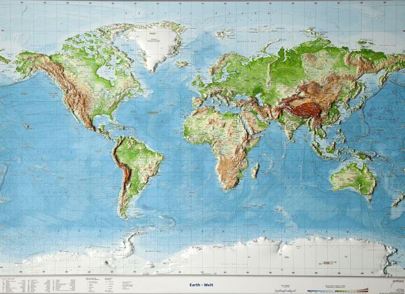
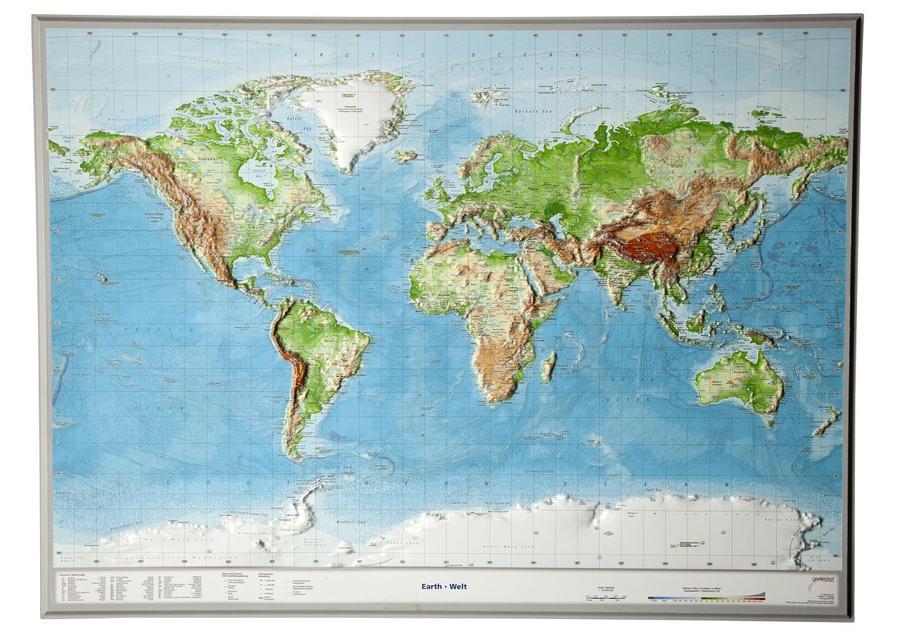
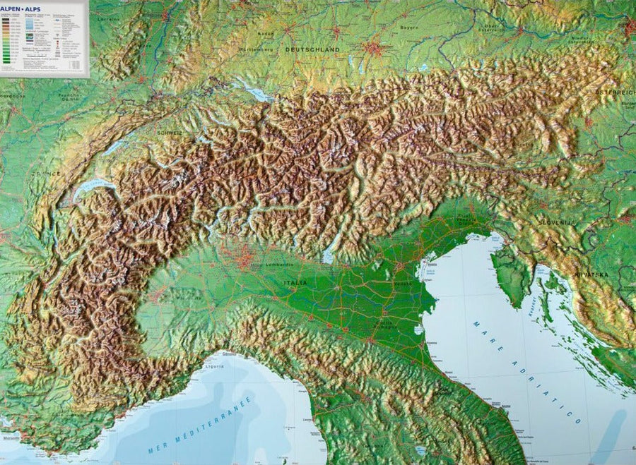
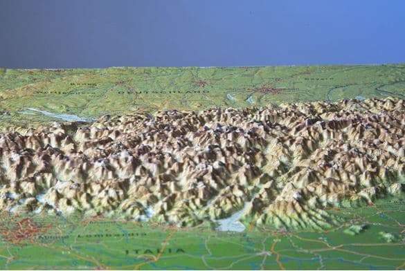
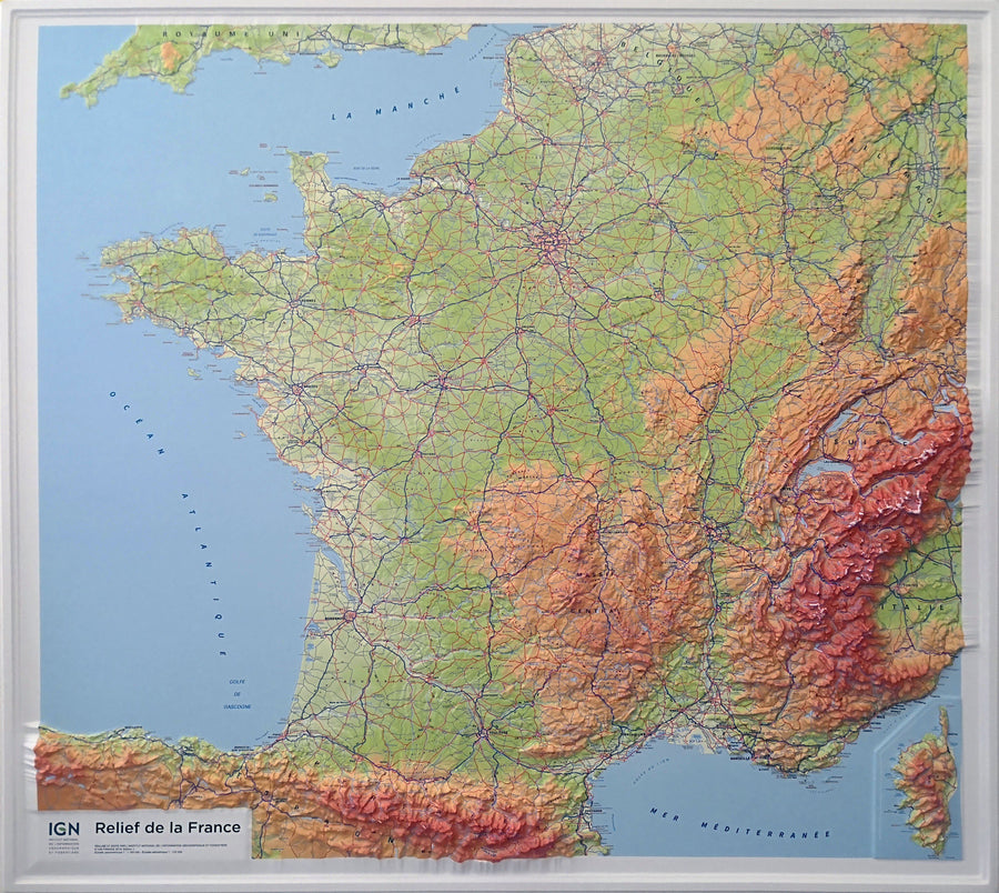
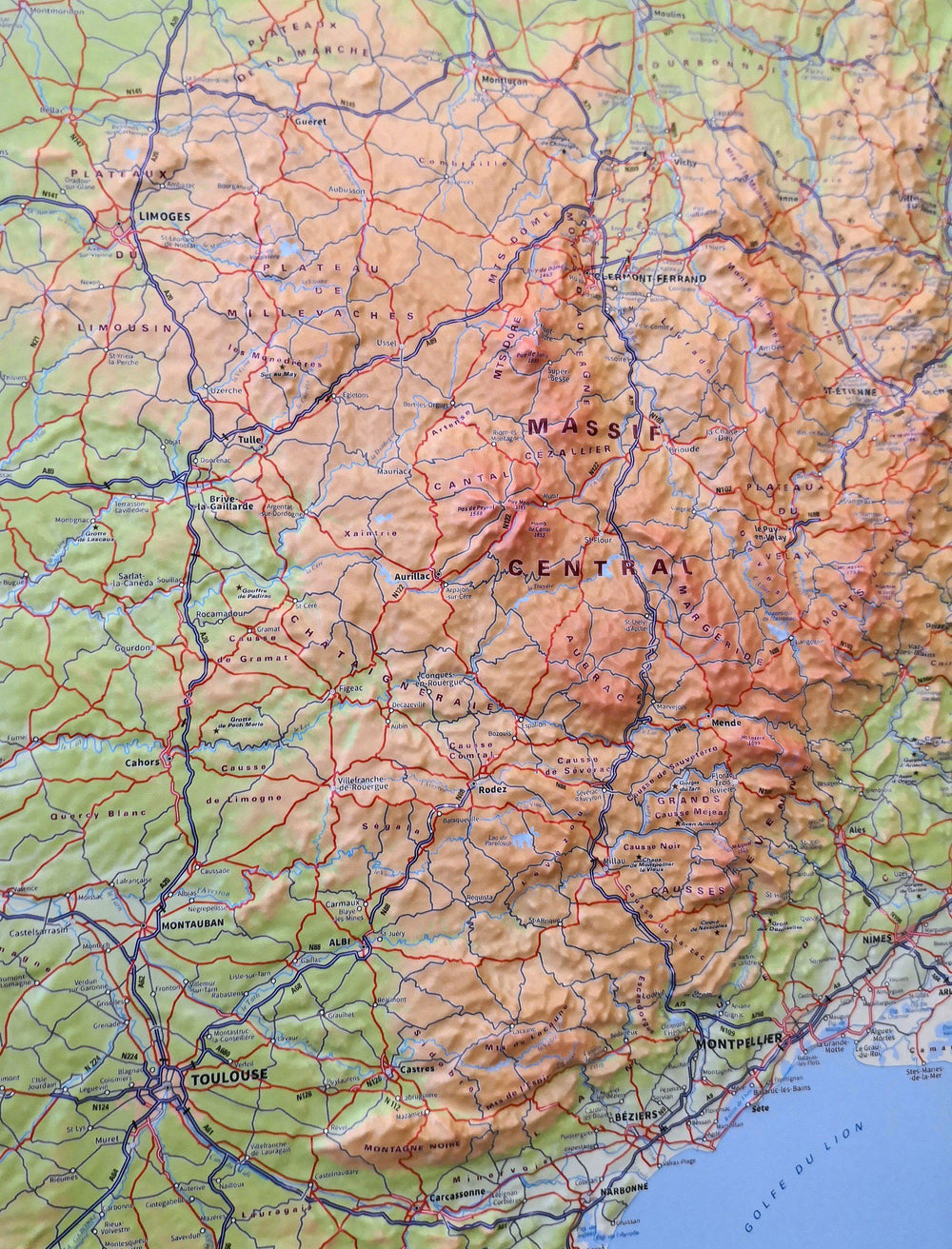
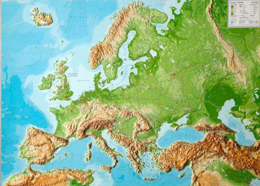
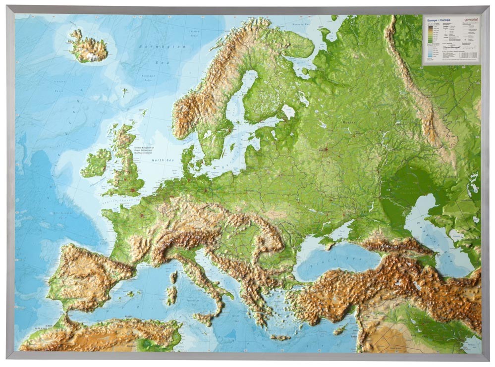
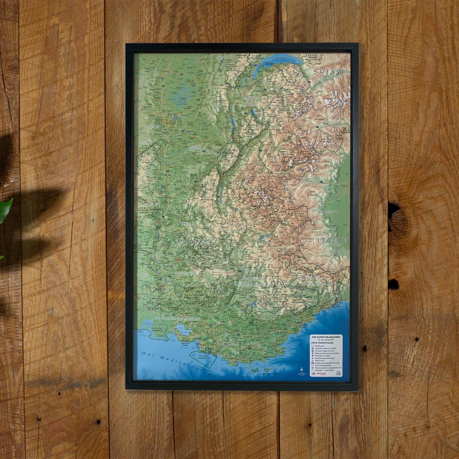
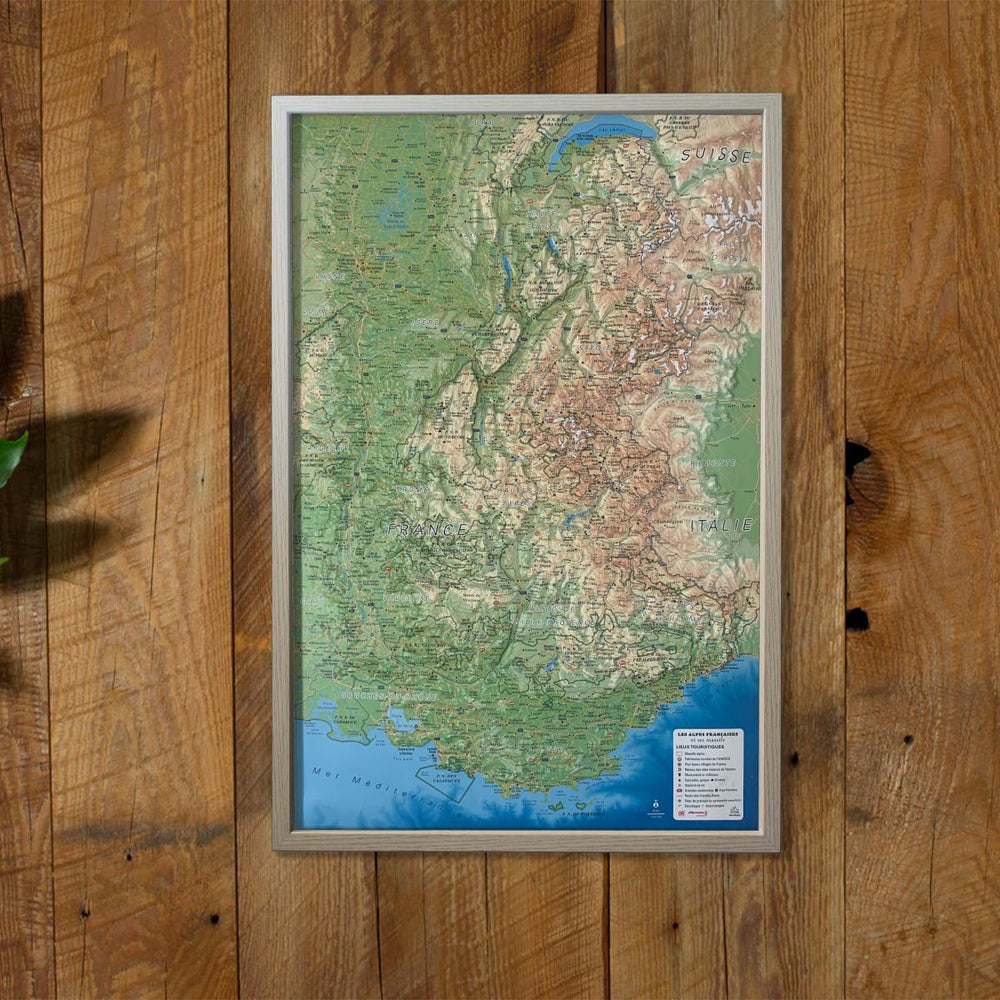
Relief maps are another way to apprehend the representation of a region, a mountainous massif, or France, thanks to 3D.
Decorative element or educational tool, you choose the function of this embossed map of the IGN.
ISBN / EAN : 9782758544562
Date de publication : 2018
Echelle : 1/180,000 (1cm=1.8km)
Impression: front
Dimensions déplié(e) : 113 x 80cm
Langue : French
Poids :
1395 g


