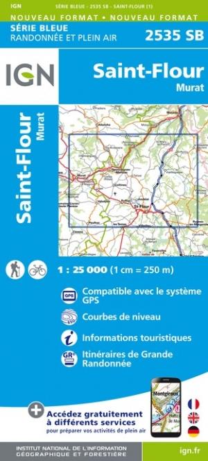
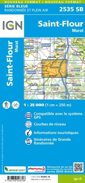
This is a Version in Posting Post Map of the Hiking Map # 2535 - Saint - Flour, Murat
Note: This map is laminated on request, based on the original map that is folded. The folds remain a little visible.
The map comes rolled in a mapboard tube.
An additional time of a few days is necessary for the manufacture of the map.
This product being made customized at the request of our customers, it can not be returned to us.
Covered communes : Saint - Flour, Murat, Neussargues in pinatelle, Paulhac, Valuéjols, Coltines, Ussel, Laveisnenet, Saint - Poncy , La Chapelle - Laurent, Tivesi, Lastic, Montchamp, Saint Georges, Old Pess, Coren, Ruynes - en - Margeride, Andela, Saint - Mary - le - Plain, Rézentries, Vabres
places to discover : Volcano region of Auvergne Volcanoes, Chapelas, Puy de Barre, Montjournal, Organs, Gorges de l 'Ander, St - Antoine, Château de Varillettes, Tour de Merdogne, Waterfall of Babory, Wildlife House, Phallian Menhir Sit Pierre Plantade, Vauclair.
ISBN / EAN : 9782758548706P
Date de publication : 2019
Echelle : 1/25,000 (1cm=250m)
Impression: front
Dimensions déplié(e) : 96 x 110cm
Langue : French, English, German
Poids :
300 g


