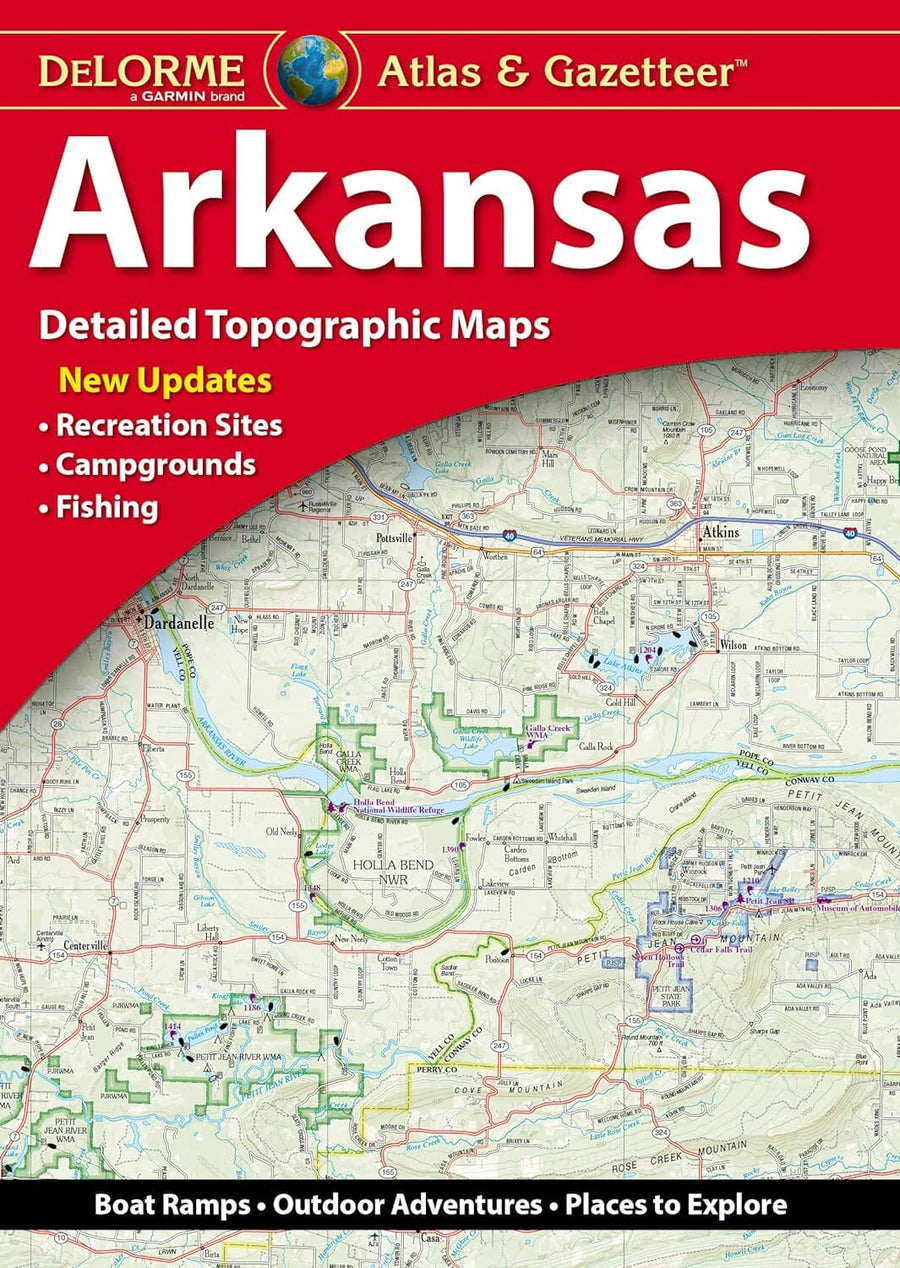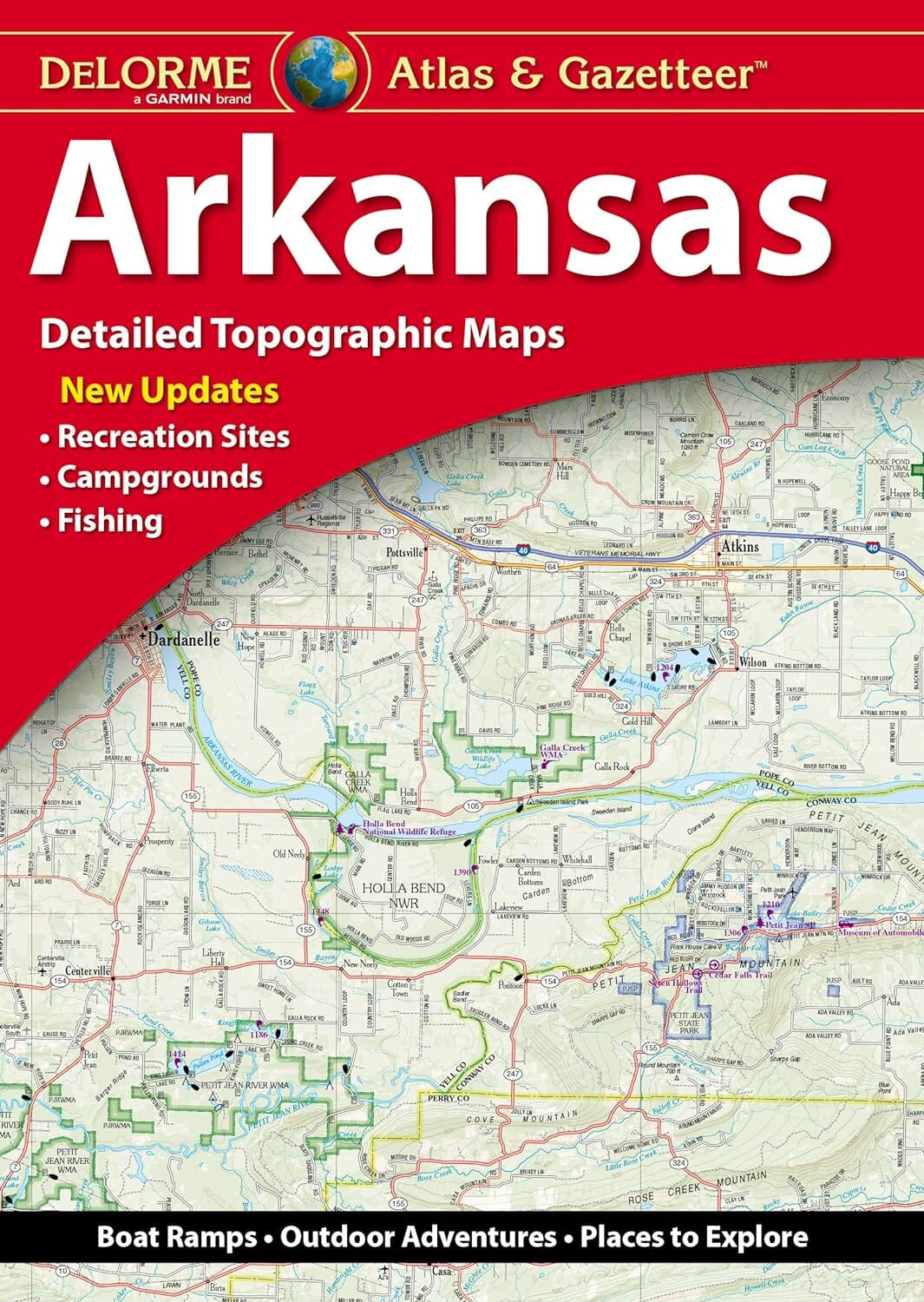
Arkansas Atlas and Gazetteer | DeLorme

Arkansas Atlas and Gazetteer | DeLorme Atlas

Arkansas Atlas and Gazetteer | DeLorme

Regular price $34.00
/
  • Ships within 48 business hours from our US warehouse.
  • Delivery costs calculated instantly in the cart
  • Free returns (*)
  • Real-time inventory
  • In stock, ready to ship
  • Inventory on the way
Tax included.

Often purchased together:

With an incredible wealth of detail, DeLorme's Atlas & Gazetteer is the perfect companion for exploring the Arkansas outdoors. Extensively indexed, full-color topographic maps provide information on everything from cities and towns to historic sites, scenic drives, trailheads, boat ramps and even prime fishing spots. Conveniently bound in book form, the Atlas & Gazetteer is your most comprehensive guide to the backcountry. Handy latitude/longitude overlay grid for each map allows you to navigate with GPS and inset maps provided for major cities as well as all state lands.


ISBN/EAN : 9781946494207
Publication date: 2021
Folded dimensions: 15.75 x 11.02 inch / 40 x 28cm
Language(s): English
Poids : 25.5 oz

Customer Reviews

Based on 1 review
100%
(1)
0%
(0)
0%
(0)
0%
(0)
0%
(0)
M
Mary R. (Newport, US)
AR map

Great map. Easy to read and love the extra information provided.

More from Arkansas
Nouveauté
Travel Map - Mississippi River (USA) | ITM
ITM
$15.00
Buffalo National River [Map Pack Bundle] | National Geographic carte pliée
Buffalo National River [Map Pack Bundle] | National Geographic
National Geographic
$34.00
Arkansas River [Map Pack Bundle] | National Geographic carte pliée
Arkansas River [Map Pack Bundle] | National Geographic
National Geographic
$34.00
Scenic road trips of Missouri & Arkansas | MAD Maps carte pliée
Scenic road trips of Missouri & Arkansas | MAD Maps
MAD Maps
$20.00
États-Unis, Ouest et Centre, Gros caractères | GM Johnson carte pliée GM Johnson
United States, Western & Central, Large Print | GM Johnson
GM Johnson
$8.00
Recently viewed