Arkansas High Country Route #2 | Adventure Cycling Association carte pliée Adventure Cycling Association

Arkansas High Country Route #2 | Adventure Cycling Association

Price
Regular price $17.00
Regular price Sale price $17.00
Save $-17
/
  • Shipping within 48 business hours from our warehouse in the USA. For this product, customs fees may be requested by the carrier upon delivery.
  • Delivery costs calculated instantly in the basket
  • Free returns (*)
  • Real-time inventory
  • Low stock - 2 items left
  • Backordered, shipping soon
Tax included.

Often purchased together:

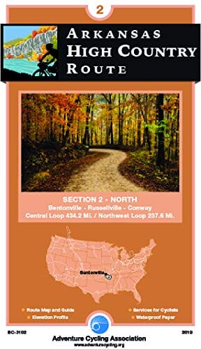
The "Section 2 North" map consists of two loops: the 434-mile central loop, beginning and ending at Lake Dardanelle State Park in Russellville, and the 238-mile northwest loop, beginning and ending at the Bentonville town square.

(There are 16 miles of shared route between the two loops.) Compared to the Section 1 South route, the northern loops offer more elevation gain and generally more rural areas of outstanding natural beauty.

Highlights include the unique geological formations of the Ozark National Forest, the Buffalo River and State Park, and the well-marked and smooth Razorback Greenway connecting the urban areas of Fayetteville and Bentonville.


ISBN/EAN : 9781732284784
Publication date: 2019
Folded dimensions: 8.25"x4"
Language(s): English
Weight: 90 g

Customer Reviews

Be the first to write a review
0%
(0)
0%
(0)
0%
(0)
0%
(0)
0%
(0)