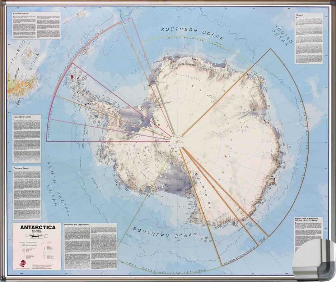
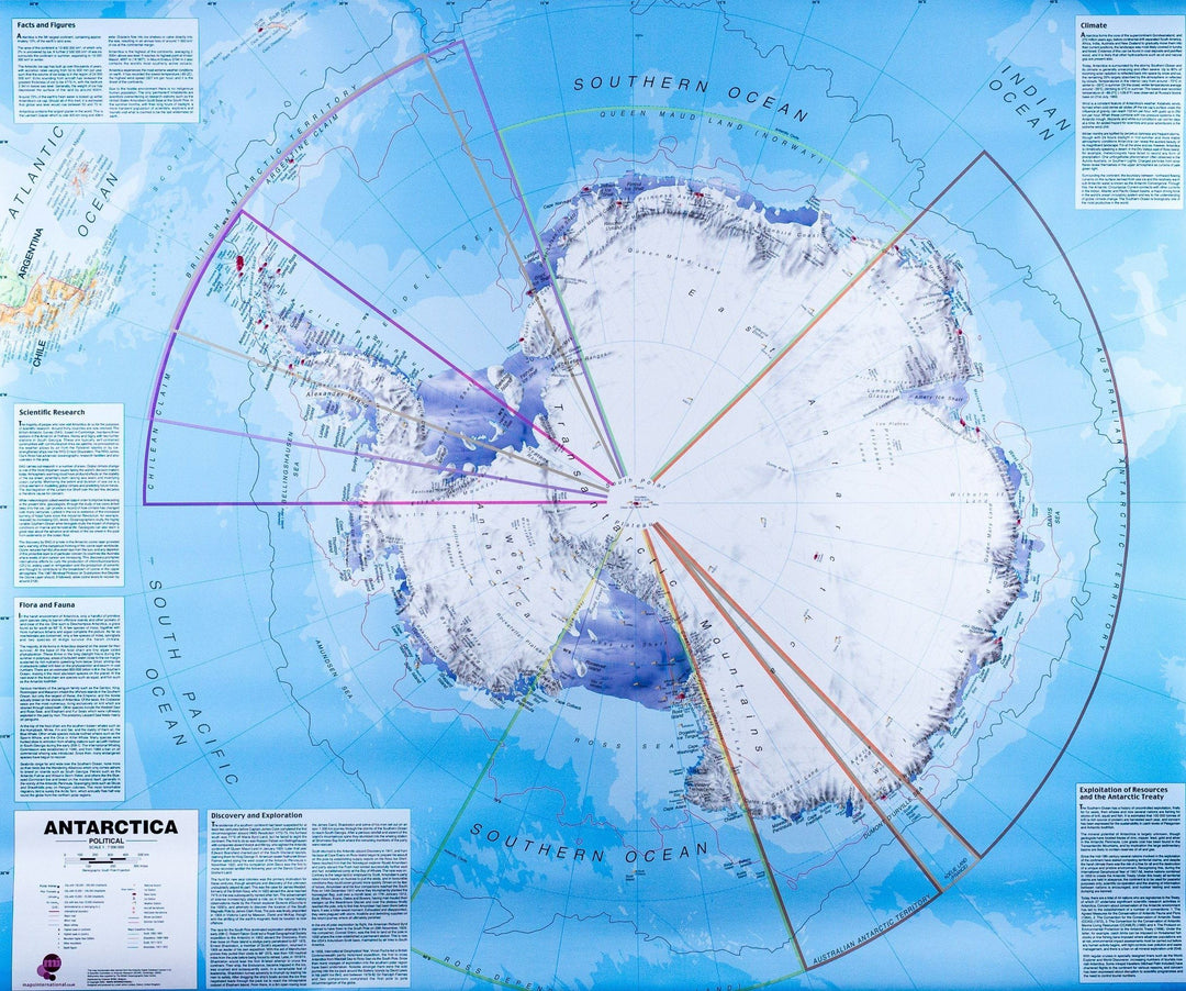
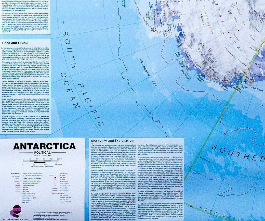
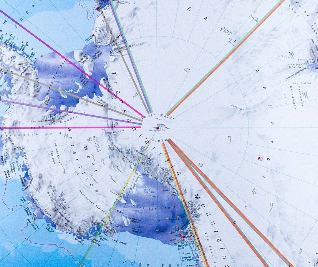
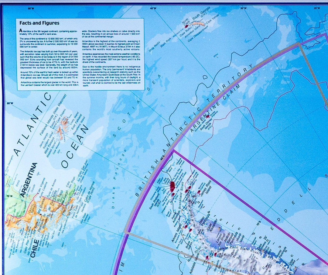
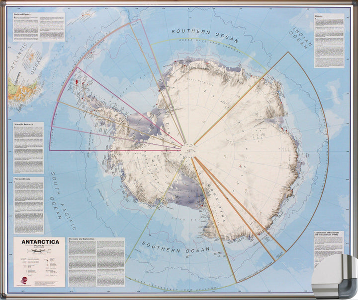
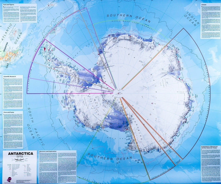
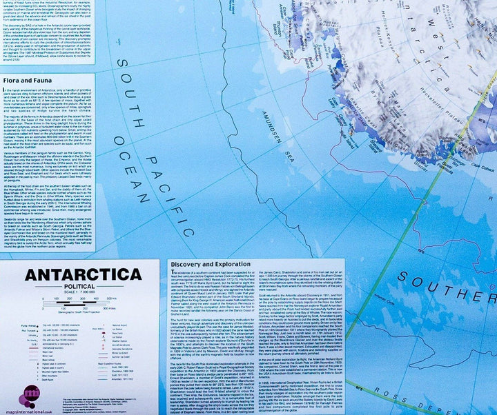
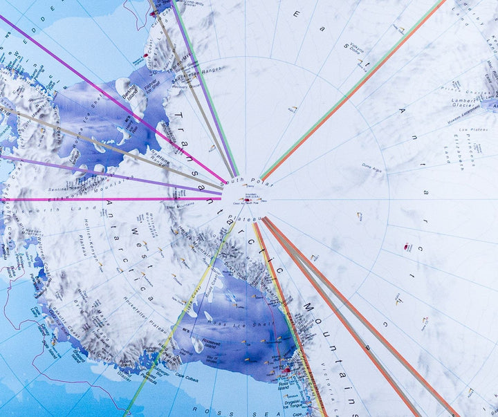
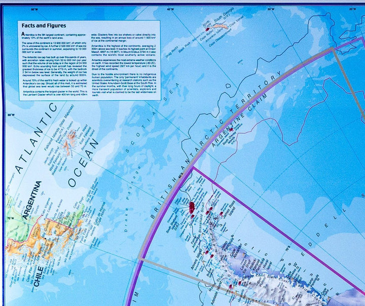
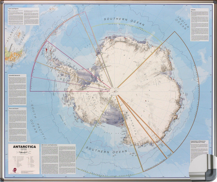
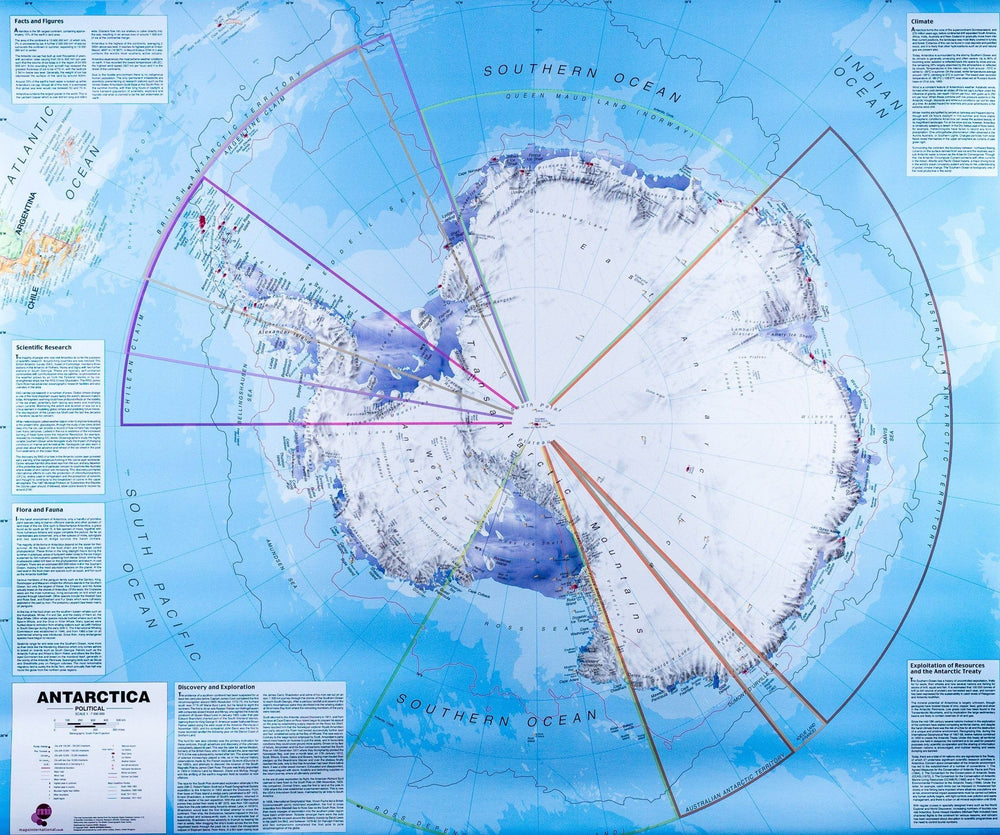
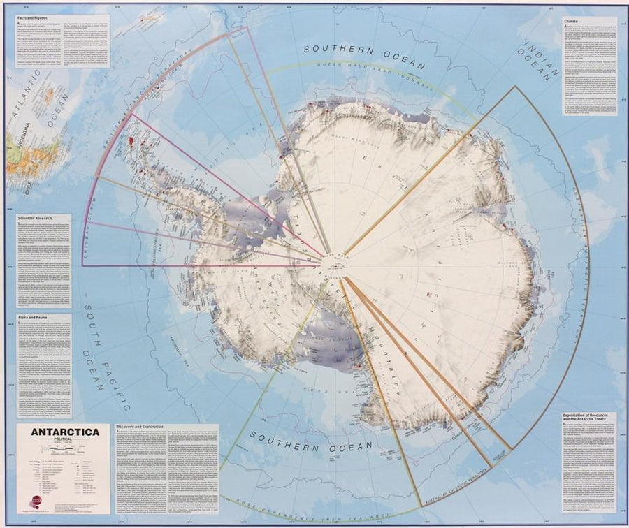
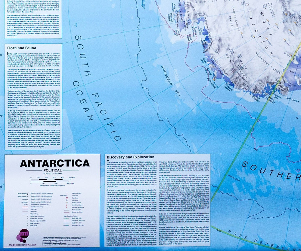
Pointing Point of Political Antarctica (in English). Based on the data from the British Antarctic Survey. Land claims are displayed. The polar bases, weather stations, base camps and aerodromes are clearly indicated, as well as the contraction and expansion of ice in summer and winter. The map also includes an inset with factual information and detailed antarctic figures. Note : An additional delay of a few days is necessary for the manufacture and packaging of this panel.
The delivery is ensured by carrier.
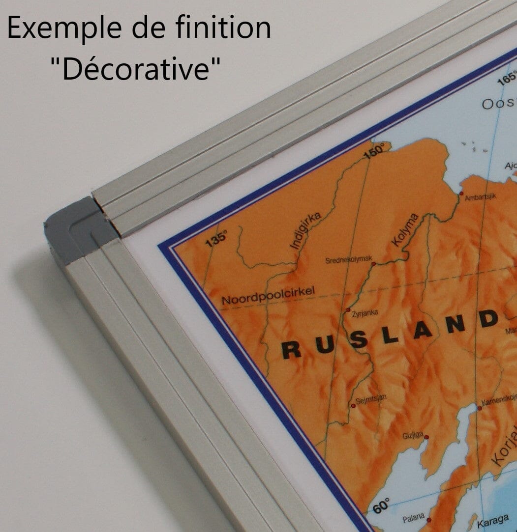
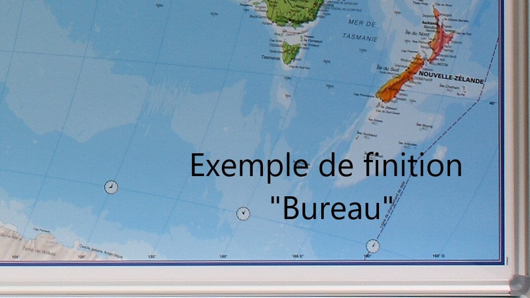
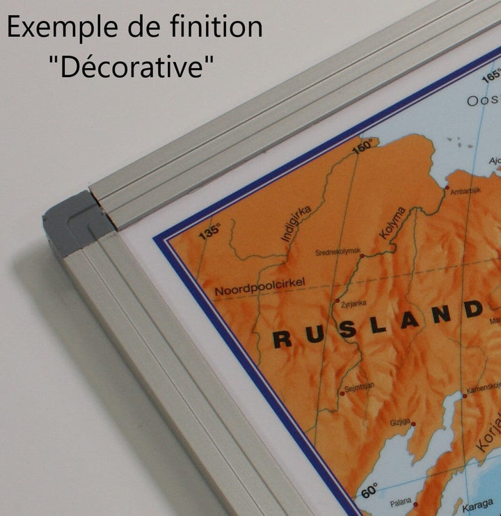
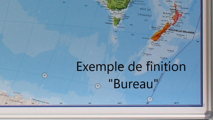
Manufacturing information : the Map is glued on a polystyrene plate (kapamount) and then laminatedized, which allows the use of dry felts and pins. The panel is finished in an aluminum frame with rounded gray color angles.
Dimensions 120 x 100 cm .
ISBN / EAN : PR.IM.EN.ANT
Date de publication : 2019
Echelle : 1/7,000,000 (1cm=70km)
Impression: front
Dimensions déplié(e) : 120x100cm
Langue : English
Poids :
5000 g


