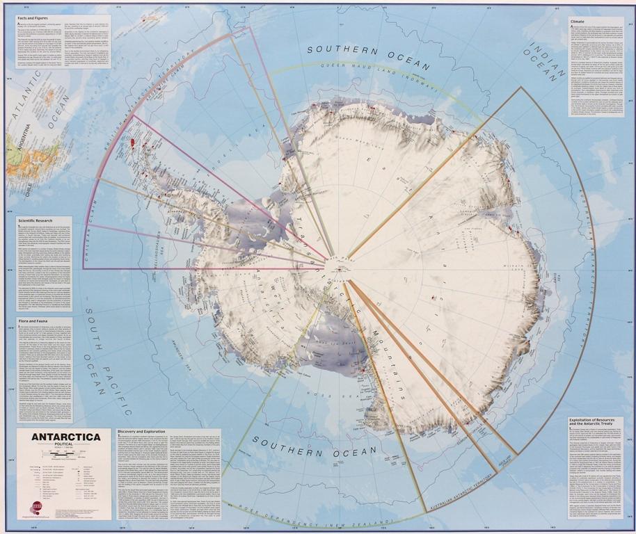
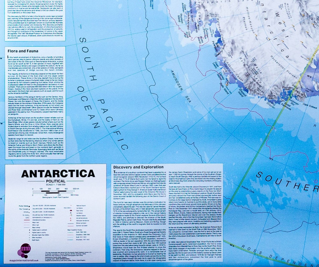
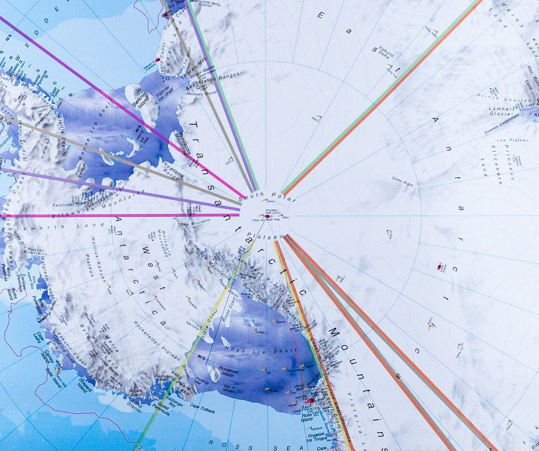
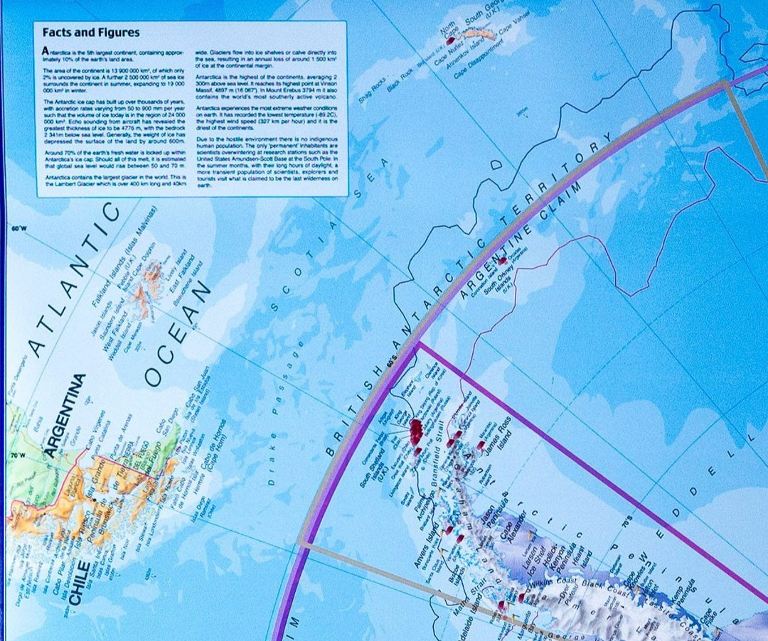
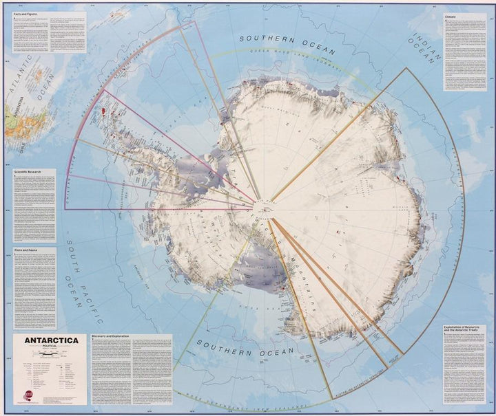
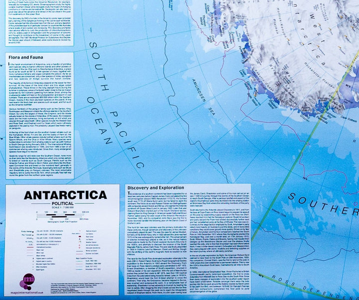
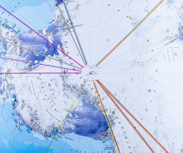
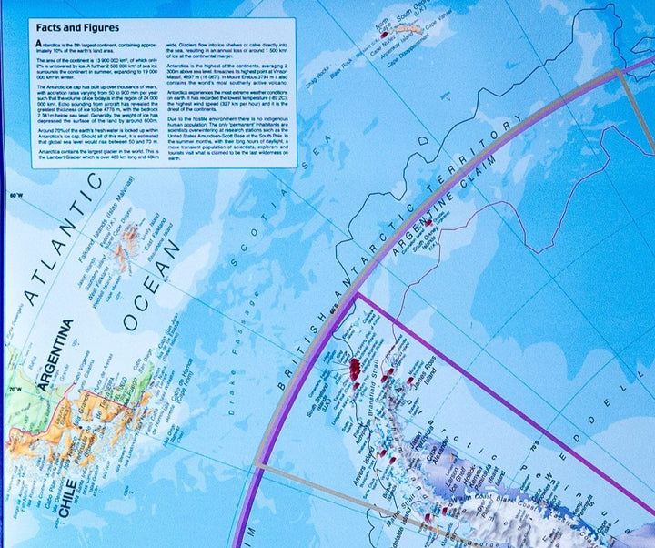
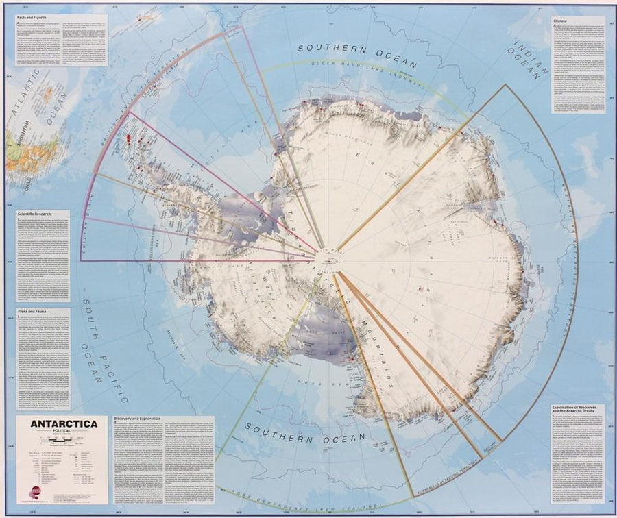
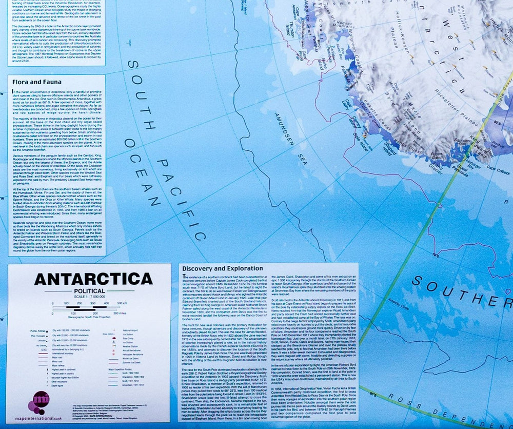
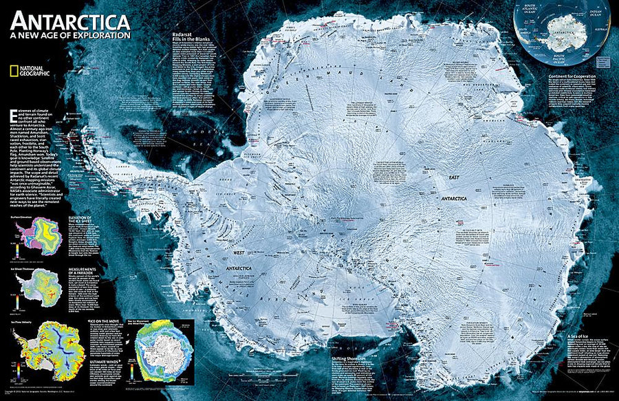
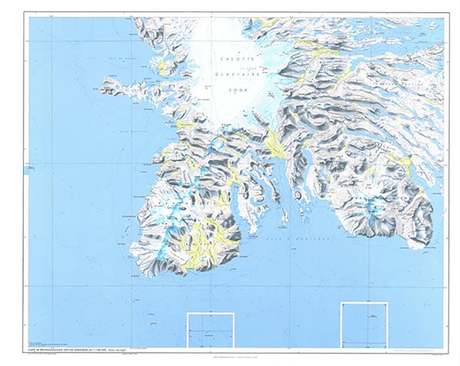
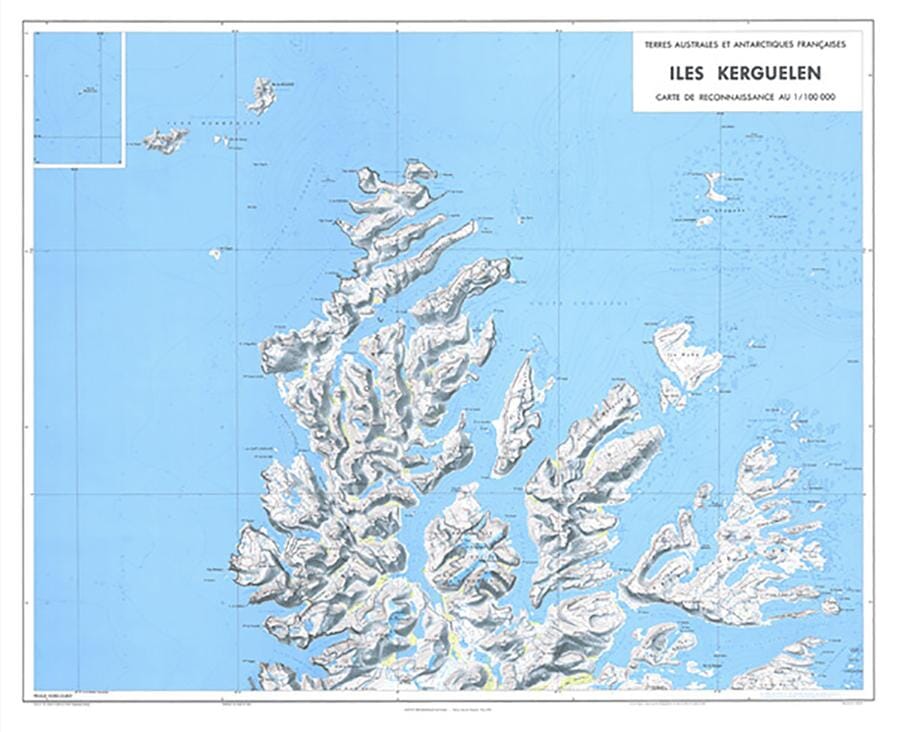
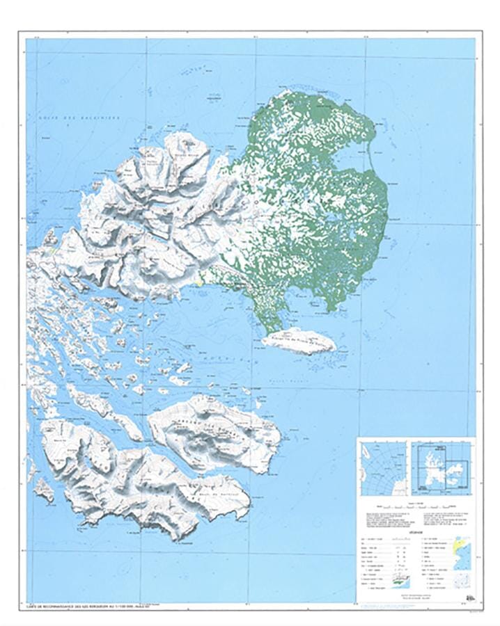
Wall map of the political Antarctica (in English). Based on the data from the British Antarctic Survey. Land claims are displayed. The polar bases, weather stations, base camps and aerodromes are clearly indicated, as well as the contraction and expansion of ice in summer and winter. The map also includes an inset with factual information and detailed antarctic figures. exists in several finishes: paper, laminated, laminated with metal slats holding (up and down).
The dimensions of the wall board are: 120 x 100 cm .
Date de publication : 2021
Echelle : 1/7,000,000 (1cm=70km)
Impression: front
Dimensions déplié(e) : 120x100cm
Langue : English


