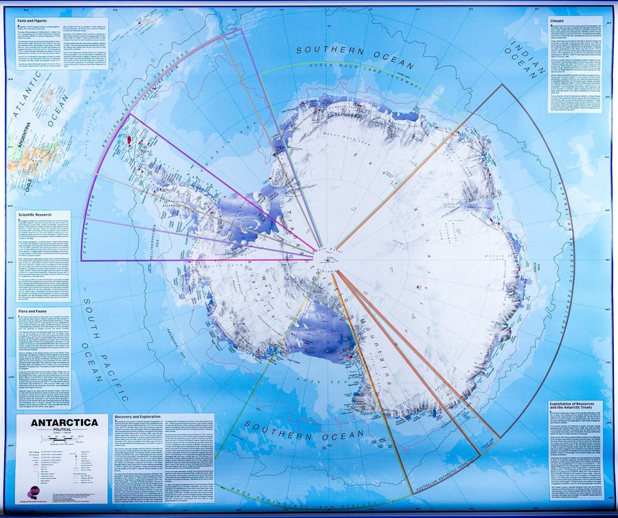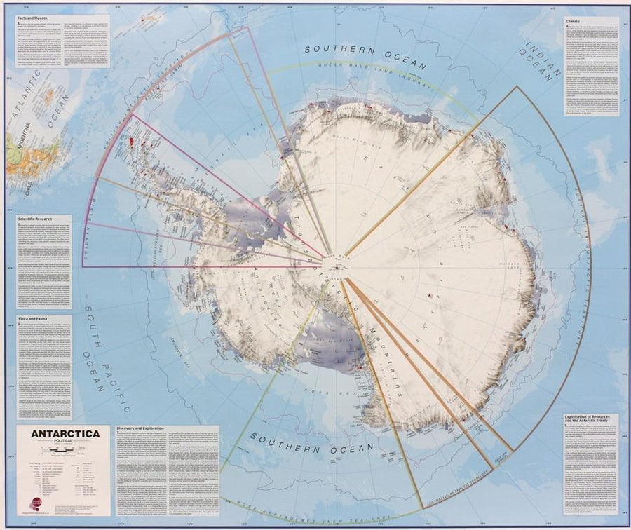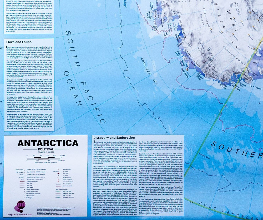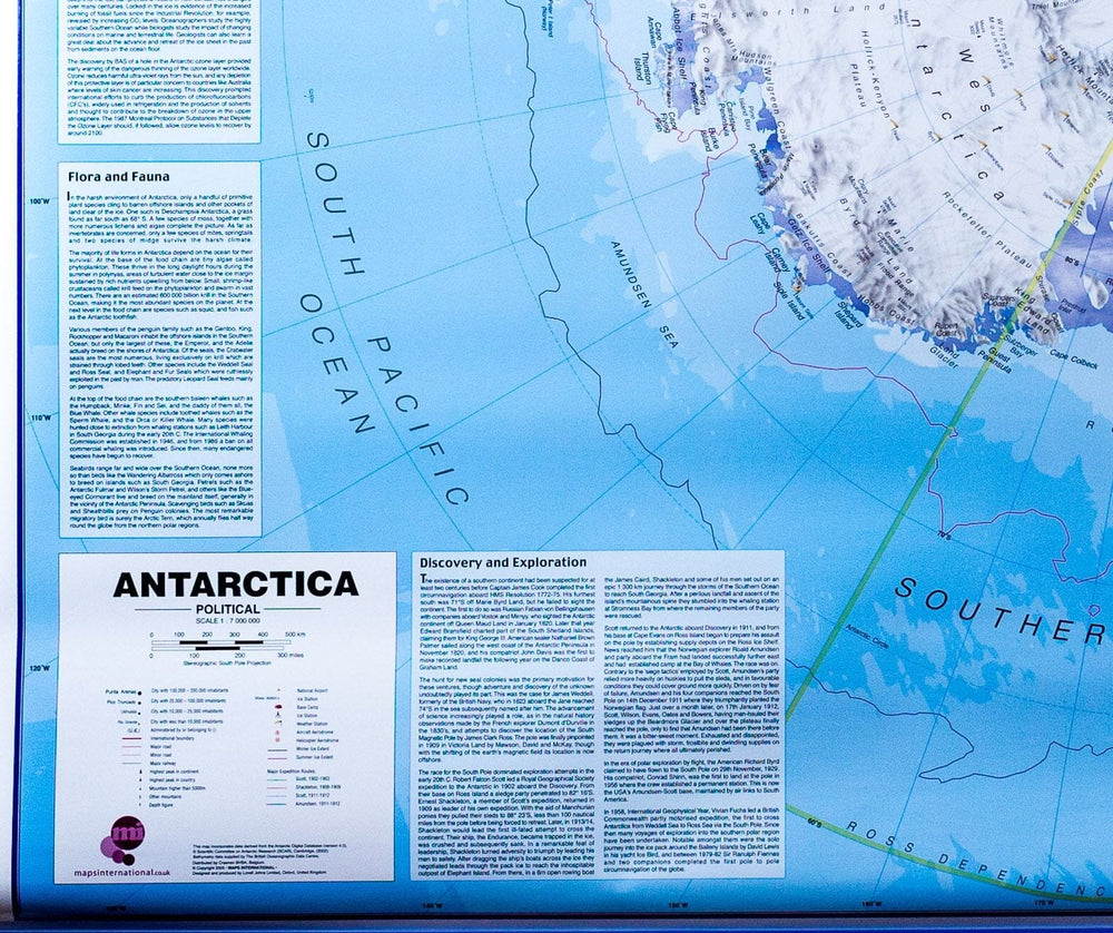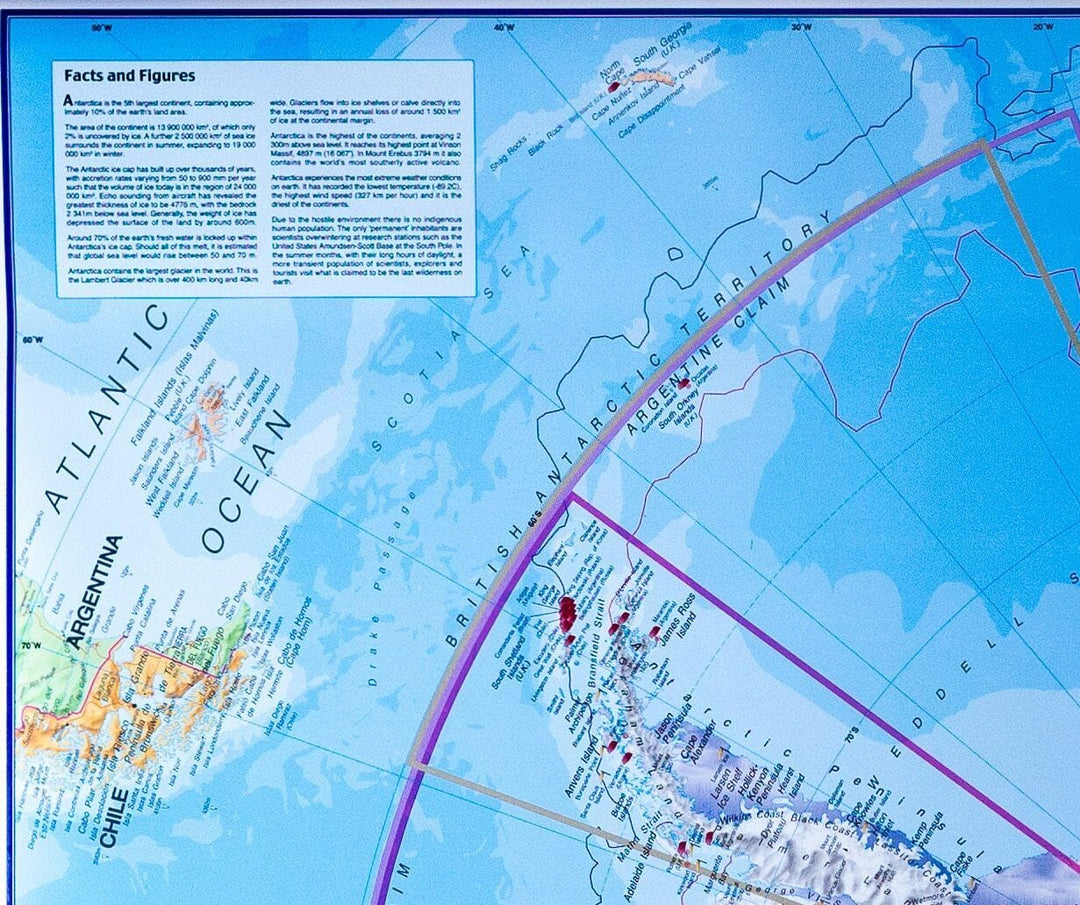
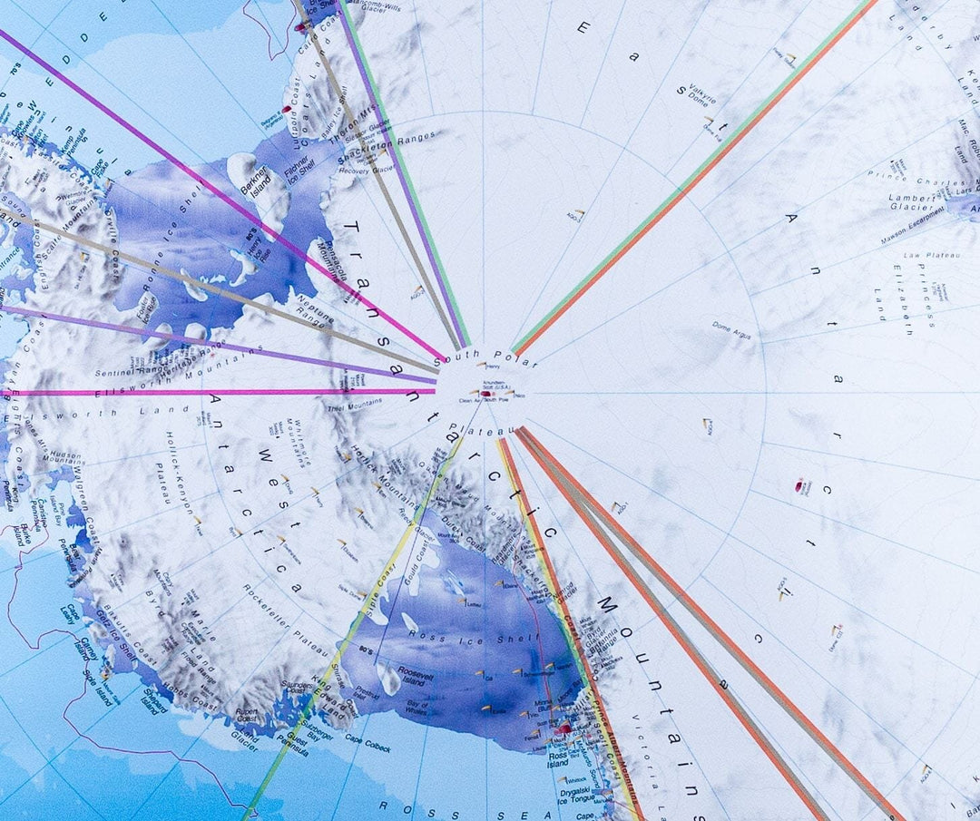


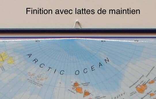

Laminated wall map (in English) - Antarctica, with metal support slats - 120 x 100 cm | Maps International
Laminated wall map (in English) - Antarctica, with metal support slats - 120 x 100 cm | Maps International
Regular price
$46.00
Sale price
$33.00
Save $13
- Shipping within 24 working hours from our warehouse in France (except laminated models)
- Delivery costs calculated instantly in the basket
- Real-time inventory
- Low stock - 2 items left
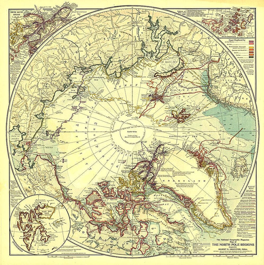
Related geographic locations and collections: Antarctica, Arctic & Antarctica (wall maps), The Poles, Wall Maps, Wall maps with wooden or metal fixing system