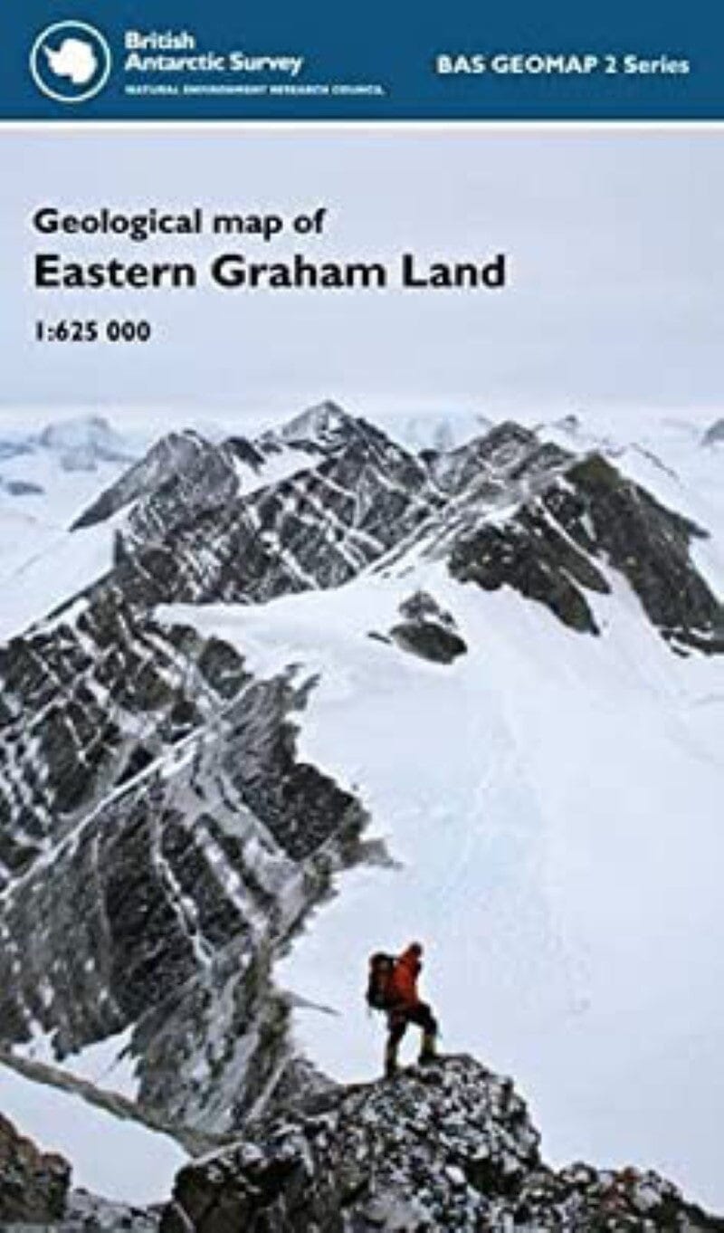
Carte des terres de l'est de Graham | British Antarctic Survey carte pliée British Antarctic Survey

Map of Graham's Eastern Lands | British Antarctic Survey

Price
Regular price $26.00
Regular price Sale price $26.00
Save $-26
/
  • Shipping within 48 business hours from our warehouse in the USA. For this product, customs fees may be requested by the carrier upon delivery.
  • Delivery costs calculated instantly in the basket
  • Free returns (*)
  • Real-time inventory
  • Low stock - 2 items left
  • Backordered, shipping soon
Tax included.

Often purchased together:

This sheet provides the first interpretive geological map of the eastern coast of northern Graham Land and is a compilation of geological fieldwork, aerial and satellite observations from the 1950s to the present. The geology of eastern Graham Land has strong affinities with that of Patagonia and there was probably considerable overlap between the northern Antarctic Peninsula and western Patagonia from the Late Paleozoic to the Miocene separation.


ISBN/EAN : 9780856652028
Publication date: 2011
Folded dimensions: 13.5 x 22.5"
Language(s): English
Weight: 96 g

Customer Reviews

Be the first to write a review
0%
(0)
0%
(0)
0%
(0)
0%
(0)
0%
(0)
More from Antarctica
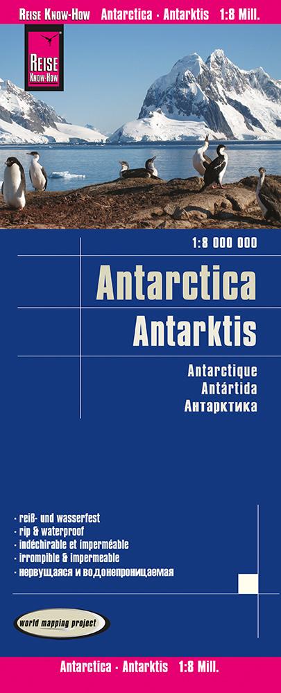
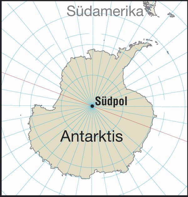
Carte de Antarctique | Reise Know How carte pliée Reise Know-How
General Map - Antarctica | Reise Know How
Reise Know-How
$12.00
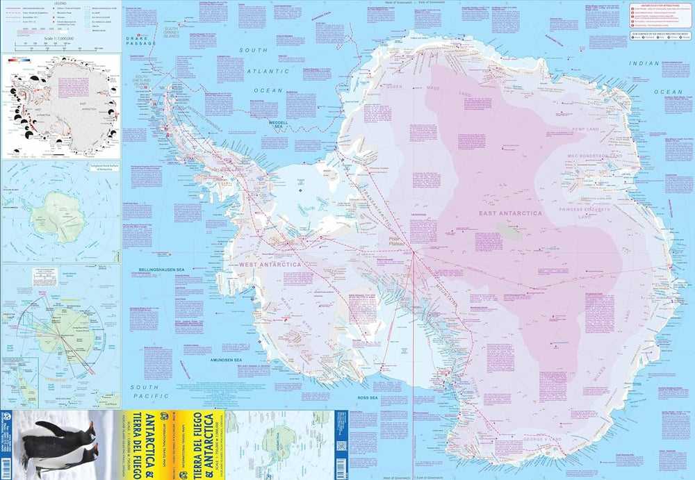
Carte de voyage - Antarctique & Terre de Feu | ITM carte pliée ITM
Travel map - Antarctica & Terre de Fire | ITM
ITM
$14.00
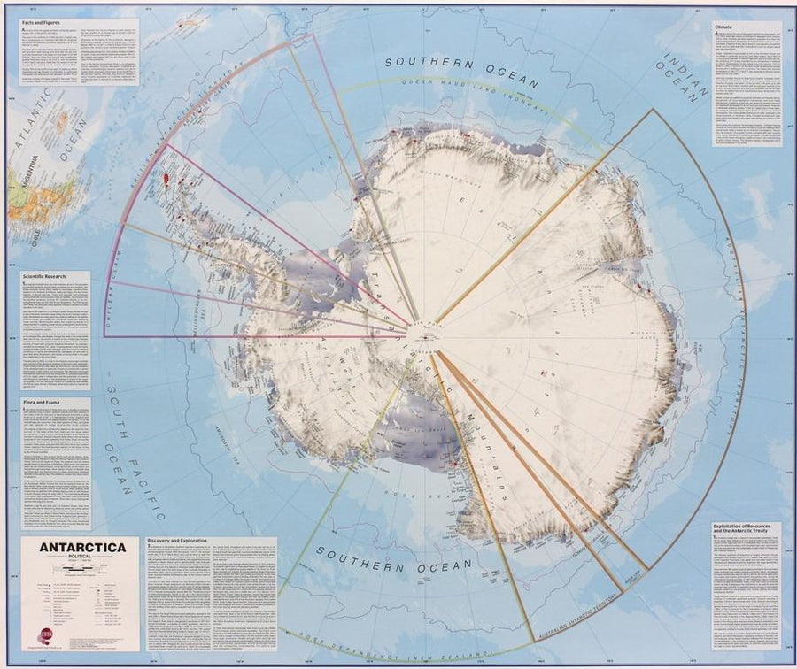
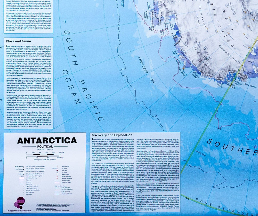
Carte murale – Antarctique (en anglais) – 120 x 100 cm | Maps International - La Compagnie des Cartes
Wall map - Antarctica - 120 x 100 cm | Maps International
Maps International
from $27.00