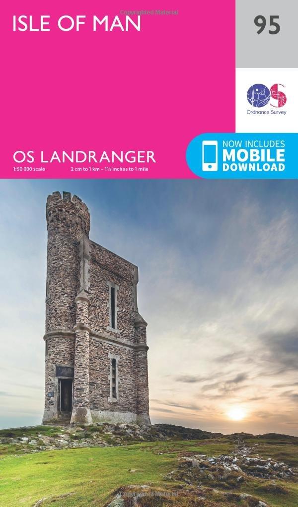
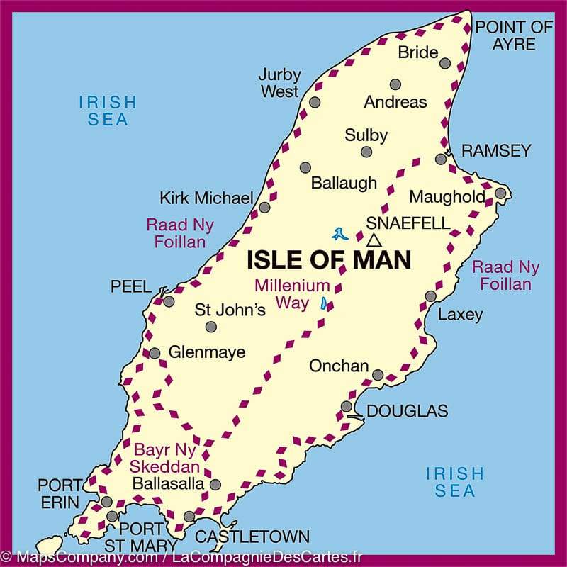
Detailed topographic map of the Ordnance Survey Landranger series. Scale 1/50 000 (1 cm = 500 m). This map covers Douglas, Onchan, Laxey, Mauughold, Ramsey, Bride, Sulby, Andreas, Jurby West, Kirk Michael, Ballaugh, Peel, St John's, Glenmaye, Ballasalla, Castletown Port St Mary and Port Erin and the Millenium Way, Raad Ny Foillan and Bayr Ny Skeddan.
This very detailed map shows the road network and the tracks, the hiking trails etc ... with curves of spaces spaced 10 m. Legend in English. This map of the Isle of Man is GPS compatible.
Publication date: 2016
Scale: 1/50,000 (1cm=500m)
Printed sides: front
Folded dimensions: 14x25cm
Unfolded dimensions: 94 x 127cm
Language(s): English


