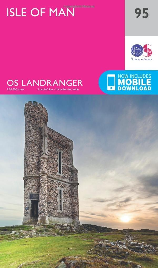
Topographic map # 095 - Island of Man | Ordnance Survey - Landranger

Finishing
Price
Regular price $20.00
Regular price Sale price $20.00
Save $-20
/
  • Shipping within 24 working hours from our warehouse in France
  • Delivery costs calculated instantly in the basket
  • Free returns (*)
  • Real-time inventory
  • In stock, ready to ship
  • Backordered, shipping soon
Tax included.

Often purchased together:

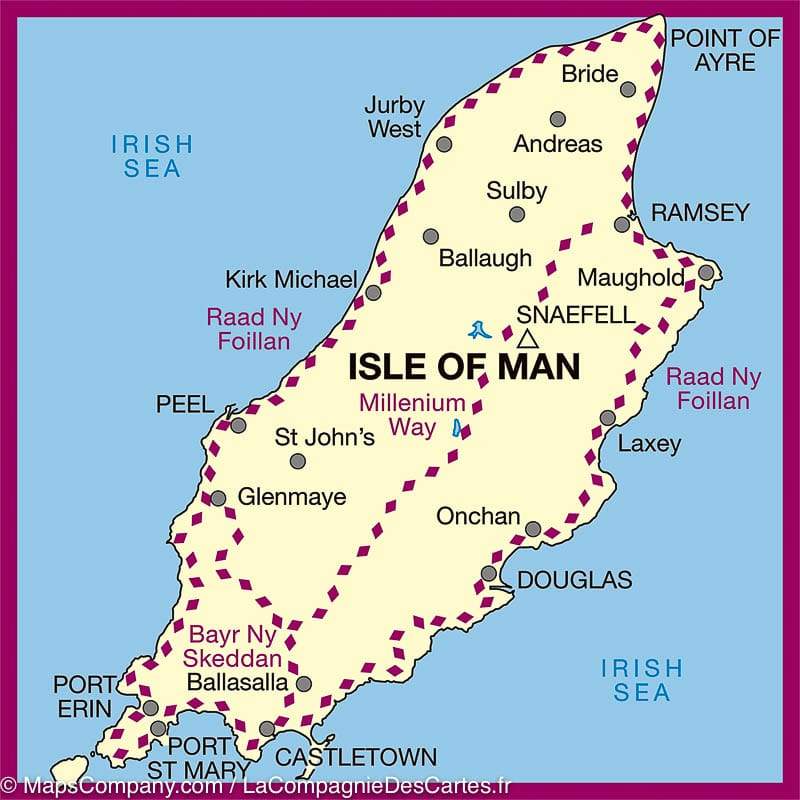
Detailed topographic map of the Ordnance Survey Landranger series. Scale 1/50 000 (1 cm = 500 m). This map covers Douglas, Onchan, Laxey, Mauughold, Ramsey, Bride, Sulby, Andreas, Jurby West, Kirk Michael, Ballaugh, Peel, St John's, Glenmaye, Ballasalla, Castletown Port St Mary and Port Erin and the Millenium Way, Raad Ny Foillan and Bayr Ny Skeddan.

This very detailed map shows the road network and the tracks, the hiking trails etc ... with curves of spaces spaced 10 m. Legend in English. This map of the Isle of Man is GPS compatible.


Publication date: 2016
Scale: 1/50,000 (1cm=500m)
Printed sides: front
Folded dimensions: 14x25cm
Unfolded dimensions: 94 x 127cm

Customer Reviews

Based on 9 reviews
100%
(9)
0%
(0)
0%
(0)
0%
(0)
0%
(0)
A
André O. (Paris, FR)
Conforme

Conforme à la description. Maintenant reste à tester sur le terrain son exactitude.

P
Philippe L.D. (Trevou-Treguignec, FR)
Carte ile de man

livraison rapide et objet correspondant à la commande.

P
Patrice D. (Rillieux-la-Pape, FR)
Excellent service

Carte commandée au dernier moment et reçue dans les délais prévus mais le jour du départ.
Nous avons du quitter la maison avant la réception du courrier du fait de l’heure de l’avion.
Nous avons été remboursés sans problème, chapeau! Quant à la carte j’ai pu l’utiliser Sur place, parfaite.
Site à recommander bien évidemment.

j
jb t. (Châtellerault, FR)
CARTE

Très bien détaillé, pourrait être proposer en version plastifié.

A
Anne L.D. (Mordelles, FR)

Carte complète et conforme à notre demande

More from Isle of man
Carte détaillée de l'île de Man | Ordnance Survey - La Compagnie des Cartes
Topographic map # 095 - Island of Man | Ordnance Survey - Landranger
Ordnance Survey
from $20.00
Guide de randonnées (en anglais) - Isle of Man - 40 walks | Cicerone guide petit format Cicerone
Hiking guide - Isle of Man - 40 walks | Cicerone
Cicerone
$21.00
Guide de randonnée - Isle of Man, coastal path (en anglais) | Cicerone guide de randonnée Cicerone
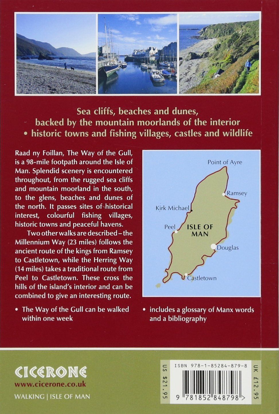
Hiking guide - Isle of Man, Coastal Path | Cicerone
Cicerone
$18.00