Hiking map - CostaBona & High Valley (Catalan Pyrenees) | Alpina

Price
Regular price $17.00
Regular price Sale price $17.00
Save $-17
/
  • Shipping within 24 working hours from our warehouse in France
  • Delivery costs calculated instantly in the basket
  • Free returns (*)
  • Real-time inventory
  • In stock, ready to ship
  • Backordered, shipping soon
Tax included.

Often purchased together:

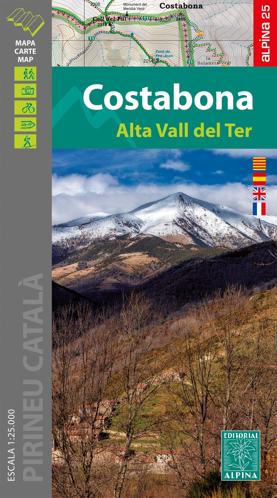
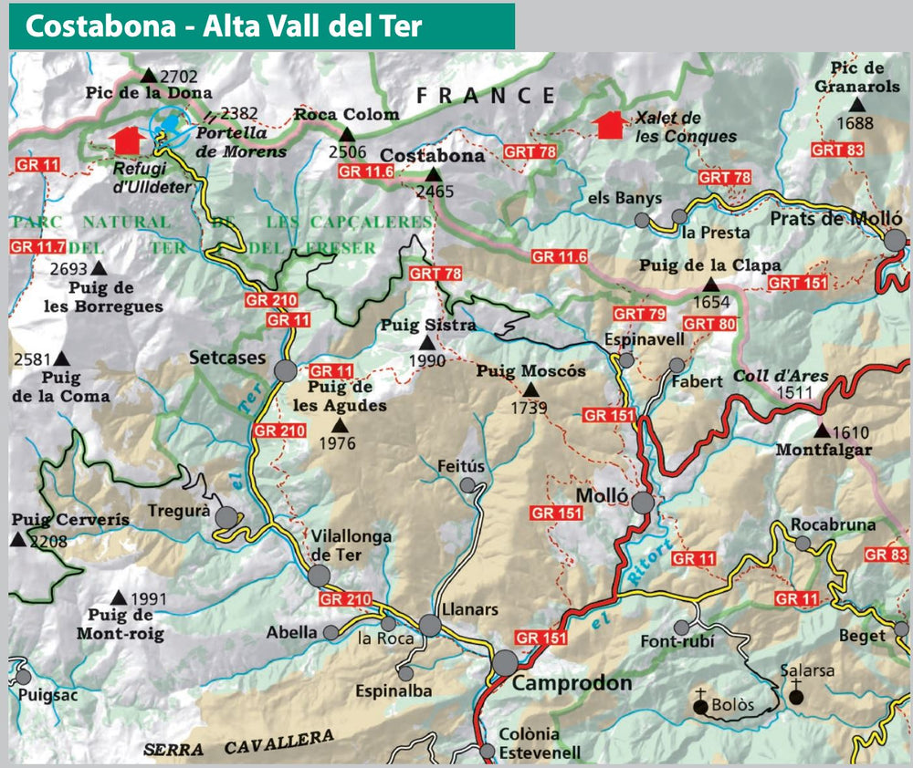
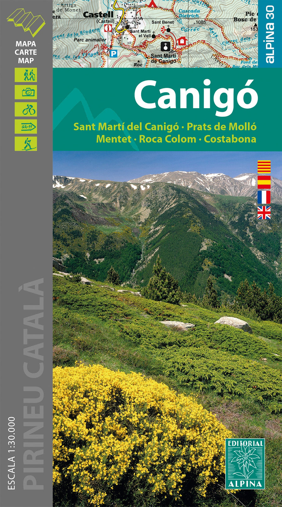
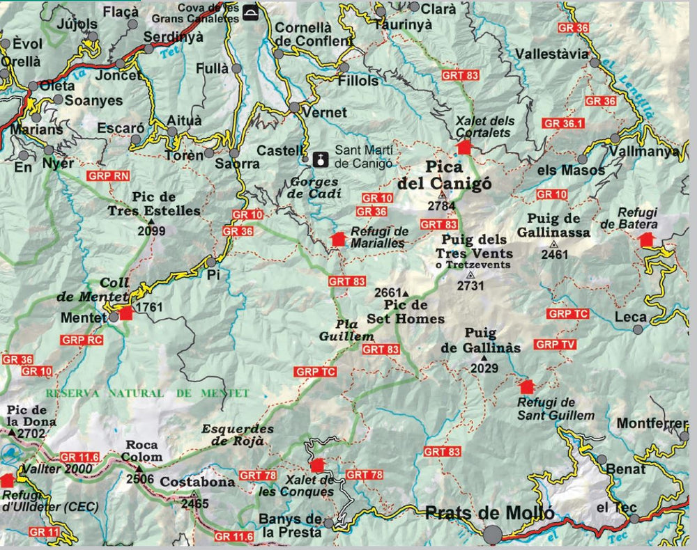
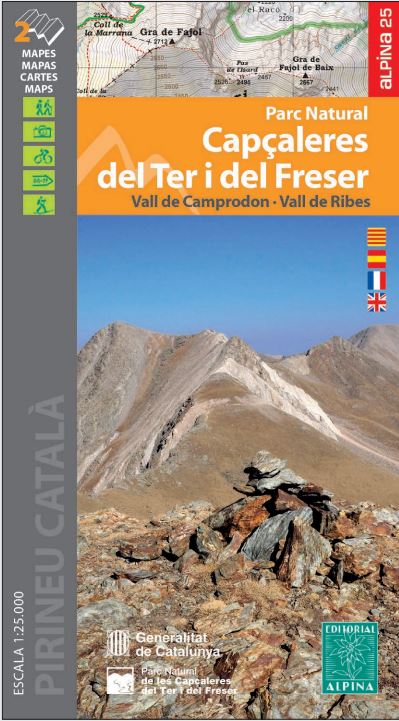
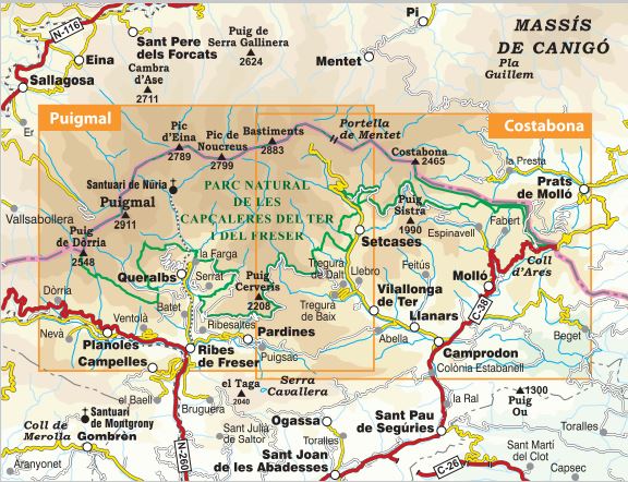
Costabona detailed hiking map and the high valley of the TER (Catalan Pyrenees). The detailed topographic map, edited by Editorial Alpina, is in color with the level curves and the Hiking guide (in French, Spanish and Catalan) brings together the different hikes possible (on foot, by bicycle) with the elevation, the estimated times and explanations.

Indication of possible accommodations. Scale 1/25 000 (1 cm = 250 m)


ISBN/EAN : 9788480909570
Publication date: 2023
Scale: 1/25,000 (1cm=250m)
Printed sides: front
Folded dimensions: 21 x 12.5 x 1cm
Unfolded dimensions: 90x100cm
Language(s): French, English, Castilian, Catalan
Weight: 171 g

Customer Reviews

Based on 1 review
0%
(0)
0%
(0)
100%
(1)
0%
(0)
0%
(0)
A
Ariane B. (Paris, FR)
carte incomplète et fragile

Sentiers sur la carte que l'on ne trouve pas sur le terrain. Sentiers sur le terrain non indiqués sur la carte. Portions de sentier de randonnée sur la frontière trop souvent non indiqué. Le papier de la carte se déchire après une seule journée. Il est bien plpus fragile que celui des cartes IGN bleues.