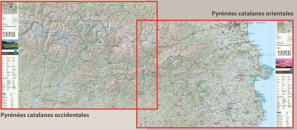
Topographic map of the Camprode Valley and the Ribes Valley published by Alpina with information of interest: marked trails (gr, pr), trails, climbs, shelters, shelters, etc.
Characteristics of the map:
• 1/50 000 scale (1 cm = 500 m) Map area : Oriental Catalan Pyrenees. CamproDon and Ribes valleys. North of the Ripollès region.
The map is accompanied by a folder containing the following information:
• 20 m Space curves
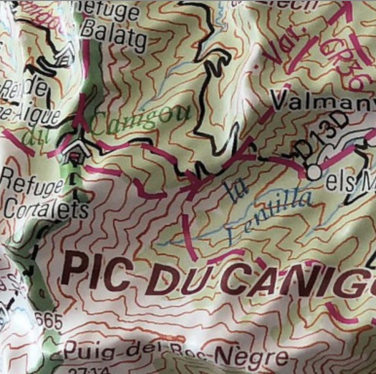
• Shaded relief
• GPS compatible < BR> • Indication of marked trails (GR, PR and SL), paths, roads, shelters, caves, fountains, etc.
• Refuges
• Interest information
• Top14 points interesting
ISBN/EAN : 9788480908658
Publication date: 2021
Scale: 1/50,000 (1cm=500m)
Printed sides: front
Folded dimensions: 21 x 12.5cm
Unfolded dimensions: 98 x 68cm
Language(s): French, English, Catalan, Castilian
Weight:
170 g


