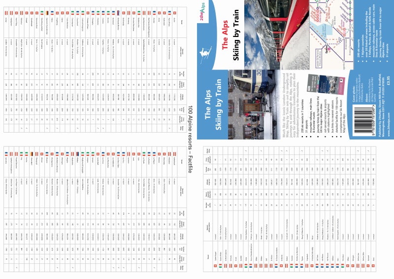
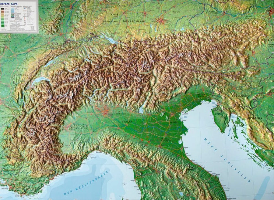
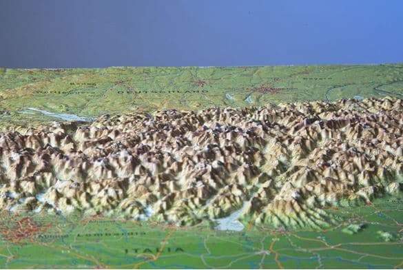
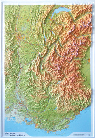
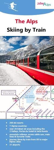
Map - The Alps: Skiing by Train | 2the Alps

Price
Regular price $10.00
Regular price Sale price $10.00
Save $-10
/
  • Shipping within 24 working hours from our warehouse in France
  • Delivery costs calculated instantly in the basket
  • Free returns (*)
  • Real-time inventory
  • In stock, ready to ship
  • Backordered, shipping soon
Tax included.

Often purchased together:

Specially designed map for exploring ski resorts by train.

Covers seven Alpine countries - Austria, France, Germany, Italy, Liechtenstein, Slovenia, and Switzerland.
Highlighted rail-served resorts, including well-known destinations such as Zermatt, St. Anton, Chamonix, and Kitzbuhel.
Over 20 connected ski areas, including Les 3 Vallées, Portes du Soleil, and Sella Ronda.
Off-rail resorts such as Méribel, Saas Fee, and Courmayeur are shown with bus connections to the nearest station.
Also includes lesser-known gems such as Greolieres Les Neiges in Provence, with views across the Mediterranean to Corsica, and Stoos in Switzerland. Home to the world's steepest funicular railway.
Includes train journey times from the UK to several Alpine towns.
31 airports shown, and those with their own train stations highlighted, to help holidaymakers select routes with easy transfers.
The reverse includes an information file for 100 resorts detailing the nearest train station, number of lifts, extent of downhill skiing (km), altitude (m), vertical drop (m), and glacier and cross-country skiing availability.


ISBN/EAN : 9781858797298
Publication date: 2019
Printed sides: both sides
Folded dimensions: 21x10cm
Unfolded dimensions: 42 x 29.7cm
Language(s): English
Weight: 89 g

Customer Reviews

Be the first to write a review
0%
(0)
0%
(0)
0%
(0)
0%
(0)
0%
(0)