-
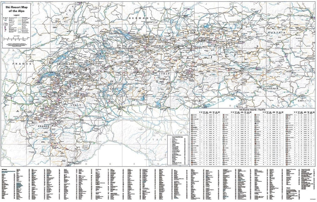
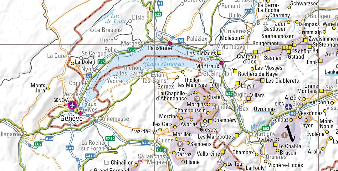
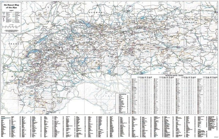
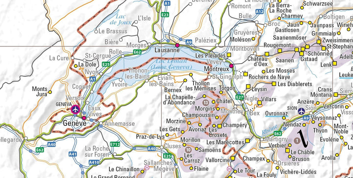
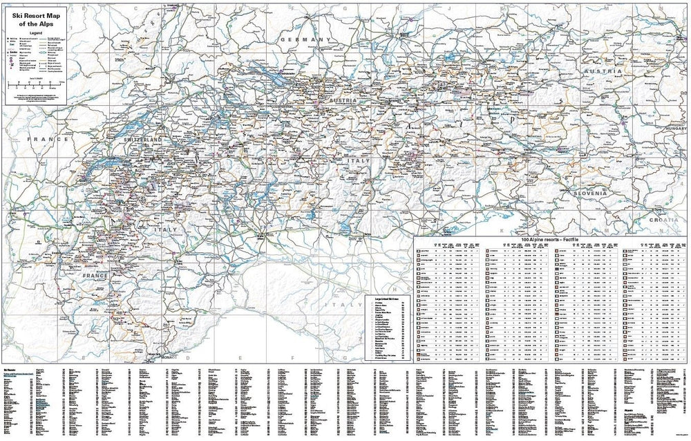
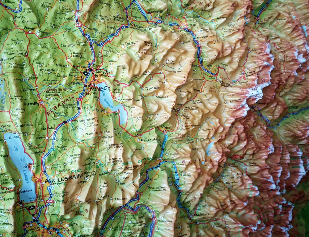
Attractive and clear map at a scale of 1: 1,336,500 (about an inch at 21 miles)
-
640 ski resorts in Austria, France, Germany, Italy, Liechtenstein, Slovenia and Switzerland (also included in the index)
-
Mountain railways, local lines and high - speed lines to help plan airport transfers (or international travel) by train
-
Ski train route Eurostar de St Pancras to the French Alps
-
Full network of main roads across the region and secondary roads serving ski resorts
-
Indication of road closures in winter
-
Ski stations directly accessible by train
-
Large connected ski areas, such as 3 valleys and sunroof, were marked and included in the index
-
Ferry services that take you to ski resorts
-
The position of more than 30 airports located in or near the Alps marking those who have their own train station for easy connection
-
Ski resorts with thermal baths (also included in the index)
-
Detailed information on 100 selected stations (ski and cross - country ski slope length, altitude and elevation, number of lifts, ski opportunity on glacier and accessibility by train)
ISBN/EAN : 9781858797250
Publication date: 2024
Scale: 1/1 336 500 (1 cm = 13.33 km)
Printed sides: front
Folded dimensions: 21x10cm
Unfolded dimensions: 109 x 63cm
Language(s): English
Weight:
69 g


