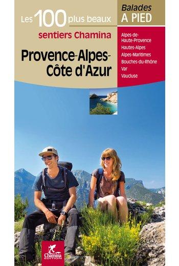
Guide de balades - Provence - Alpes - Côte d'Azur - les 100 plus beaux sentiers à pied | Chamina guide de randonnée Chamina

Walking guide - Provence - Alps - Cote Azur - The 100 Most Beautiful Trails | Chamina (French)

Price
Regular price $22.00
Regular price Sale price $22.00
Save $-22
/
  • Shipping within 24 working hours from our warehouse in France
  • Delivery costs calculated instantly in the basket
  • Free returns (*)
  • Real-time inventory
  • In stock, ready to ship
  • Backordered, shipping soon
Tax included.

Often purchased together:

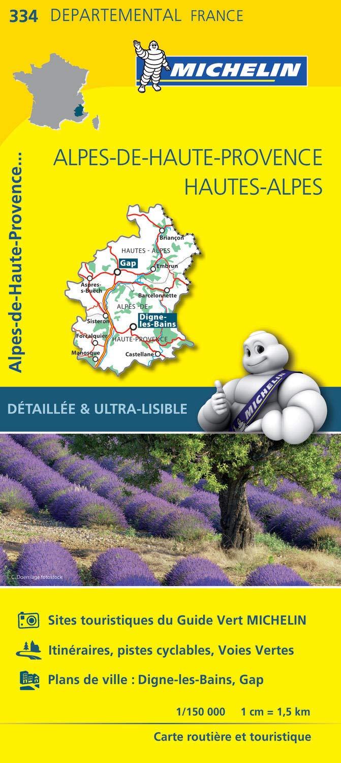
The territory concerned:
Department of Alpes - de - Haute - Provence
Department of Hautes - Alpes
Department of Alpes - Maritimes
Department of Bouches - du - Rhône
Department of Var
Department of Vaucluse

The guide:
- 112 pages
- Practical format: 12 x 21 cm
- 100 itineraries between 1h30 and 7h00
- Cartography on IGN background at 1:25 000 to easily locate
- Detail of interest centers
- Practical information for safe hikes
- Useful addresses.


ISBN/EAN : 9782844663443
Publication date: 2015
Folded dimensions: 21x14cm
Language(s): French
Weight: 410 g

Customer Reviews

No reviews yet
0%
(0)
0%
(0)
0%
(0)
0%
(0)
0%
(0)
More from Alps
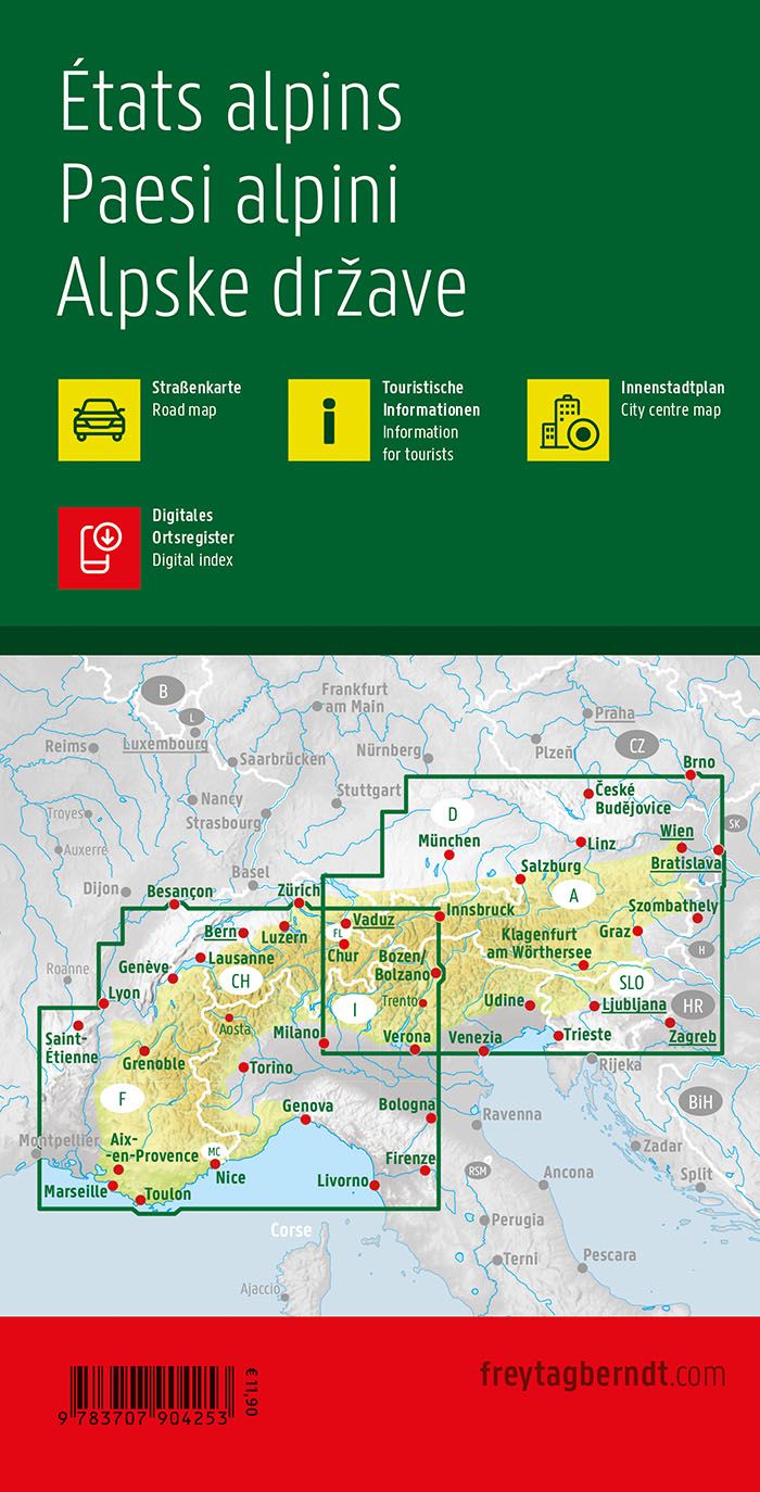
Carte routière - Alpes | Freytag & Berndt carte pliée Freytag & Berndt
Road map - Alps | Freytag & Berndt
Freytag & Berndt
$14.00
Atlas routier - Alpes | Freytag & Berndt atlas Freytag & Berndt
Road Atlas - Alpes | Freytag & Berndt
Freytag & Berndt
$38.00
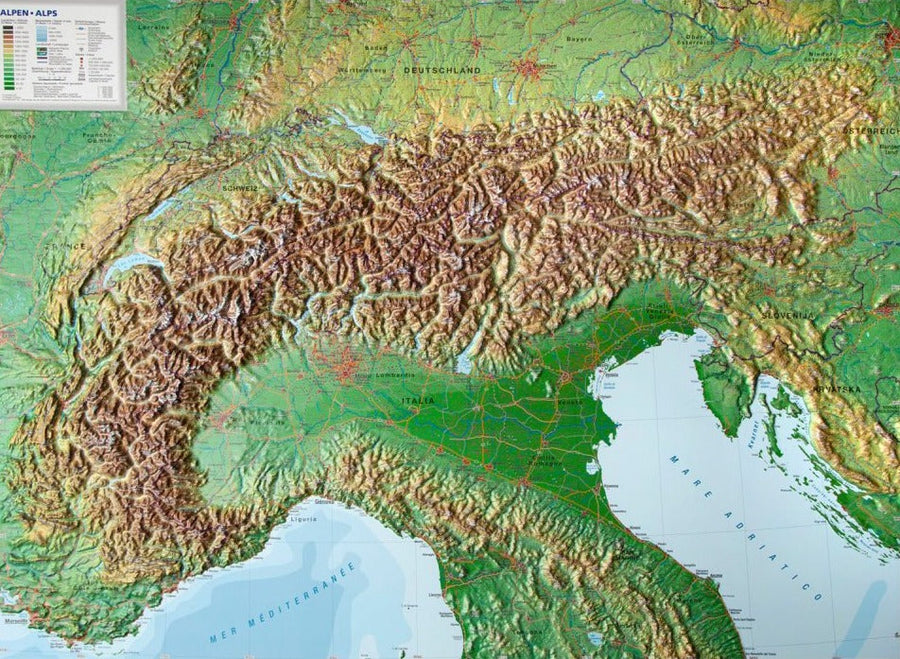
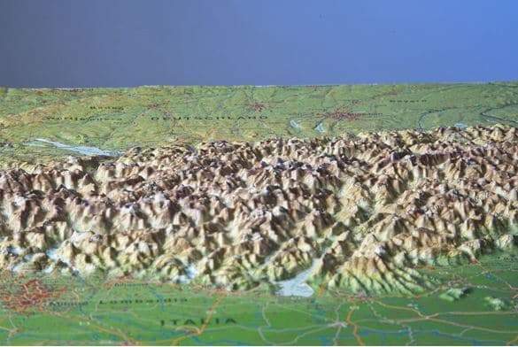
Carte murale en relief - Les Alpes (en anglais) - 77 x 57 cm | Georelief carte relief Georelief Sans cadre
Carte murale en relief - Les Alpes (en anglais) | Georelief carte relief Georelief
Relief Wall map - The Alps - 77 x 57 cm | Georelief
Georelief
from $82.00