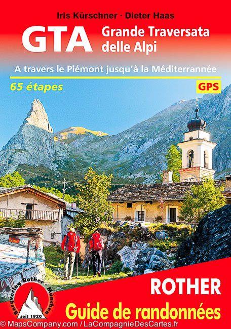
Hiking guide - GTA The Great Crossing of Italian Alps (across Piedmont to the Mediterranean) | Rother (French)

Price
Regular price $22.00
Regular price Sale price $22.00
Save $-22
/
  • Shipping within 24 working hours from our warehouse in France
  • Delivery costs calculated instantly in the basket
  • Free returns (*)
  • Real-time inventory
  • In stock, ready to ship
  • Backordered, shipping soon
Tax included.

Often purchased together:

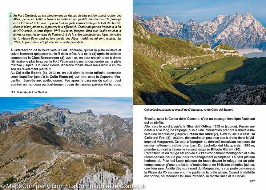
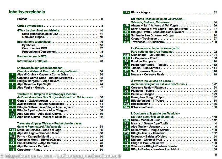
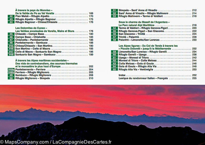
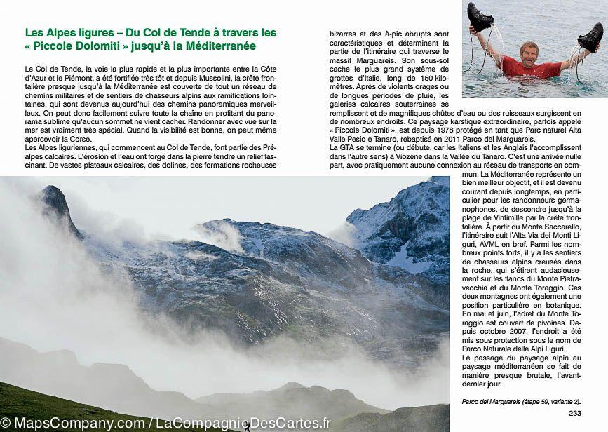
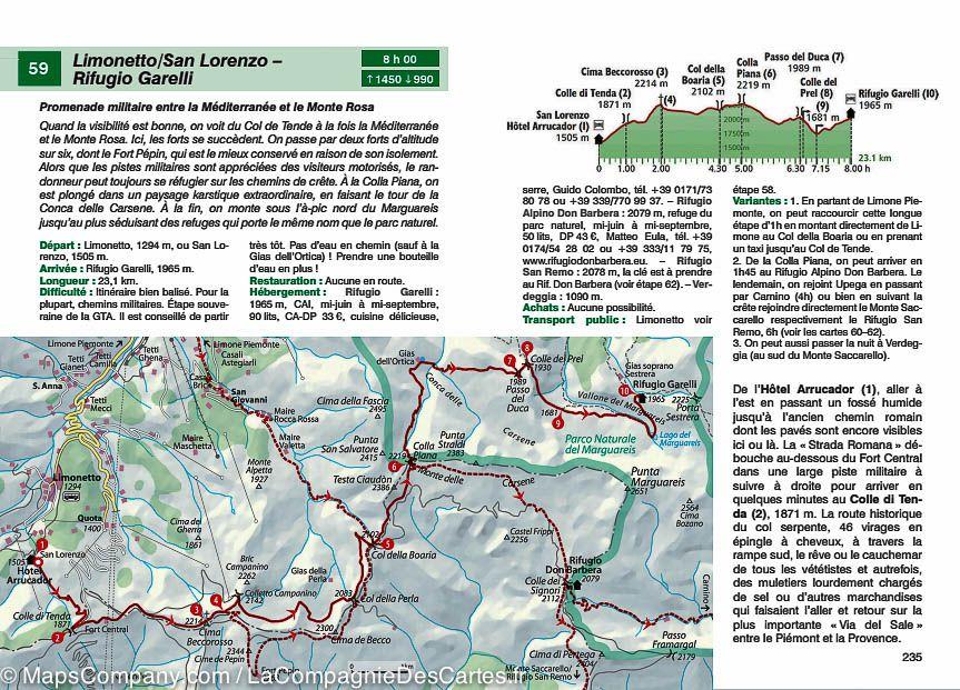
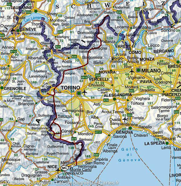
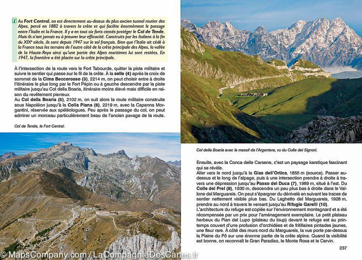
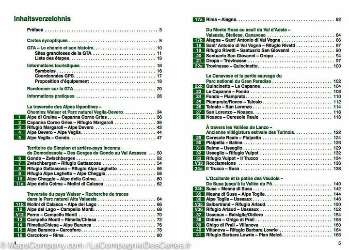
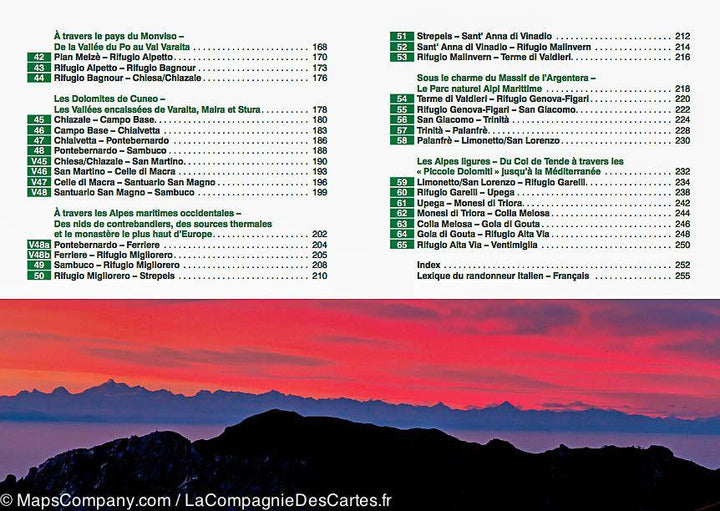
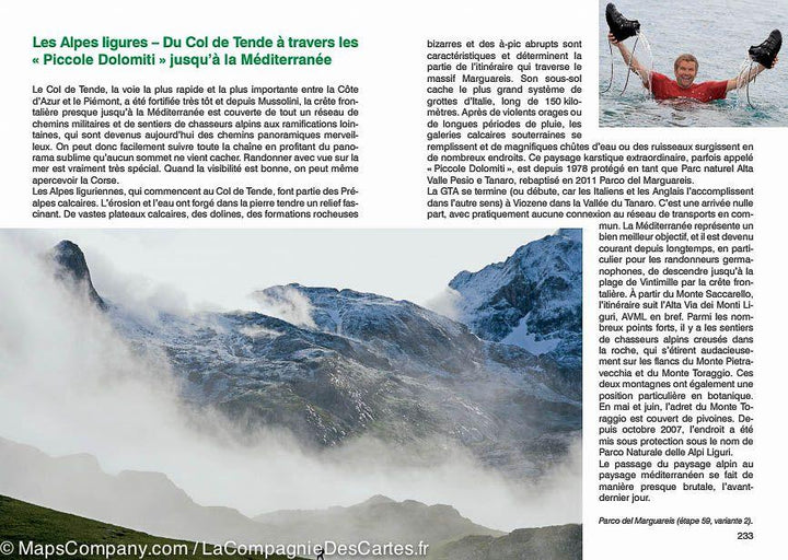
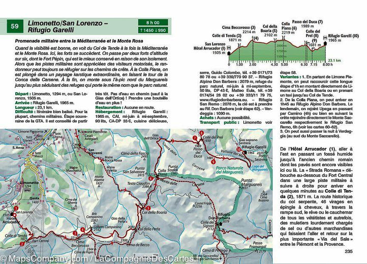
Hiking guide of the crossing of the Italian Alps edited by Rother. Summary and example - type in photo. 256 pages, 148 color photos, 78 altitude profiles, 79 maps at 1:75 000, two synoptic maps at 1: 1,000,000 and 1: 3 500 000. GPS coordinates are downloadable for all routes on The site of the publisher (rother). The Great Traversa delle Alpi, or GTA, part of the Nubenen Pass on the Swiss border to join the Mediterranean by old mule trails with 4000 m summit decor. It discovers an alpine region among the most authentic as well as a diverse cultural space increasingly threatened with disappearance. The GTA was born in 1979 to combat the dramatic decline of the population, a successful attempt to encourage people to stay through sustainable tourism. The route follows ancient trails that connected the valleys between them, the steps end for the most part in picturesque villages. With a journey of about 900 kilometers and a 65,000 meter vertical drop, the GTA, divided into 65 steps, represents a real challenge for long - term hikers, rare are those that can do it at one time. This is why the rother guide divides it into a week sections with points of arrival and departure easily accessible by means of transport.


ISBN/EAN : 9783763349449
Publication date: 2015
Pagination: 256 pages
Folded dimensions: 12 x 17cm
Language(s): French
Weight: 208 g

Customer Reviews

Based on 1 review
100%
(1)
0%
(0)
0%
(0)
0%
(0)
0%
(0)
L
Lucie B. (Montrouge, FR)

Bon guide avec l'essentiel des informations

More from Alps
Carte routière - Alpes | Freytag & Berndt carte pliée Freytag & Berndt
Road map - Alps | Freytag & Berndt
Freytag & Berndt
$14.00
Atlas routier - Alpes | Freytag & Berndt atlas Freytag & Berndt
Road Atlas - Alpes | Freytag & Berndt
Freytag & Berndt
$37.00
Carte murale en relief - Les Alpes (en anglais) - 77 x 57 cm | Georelief carte relief Georelief Sans cadre
Carte murale en relief - Les Alpes (en anglais) | Georelief carte relief Georelief
Relief Wall map - The Alps - 77 x 57 cm | Georelief
Georelief
from $82.00