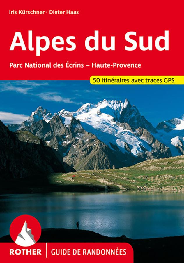
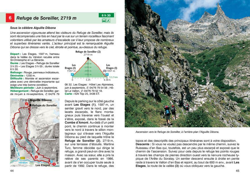
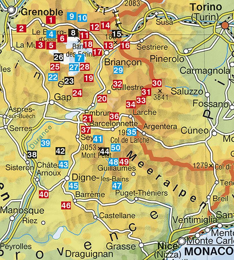
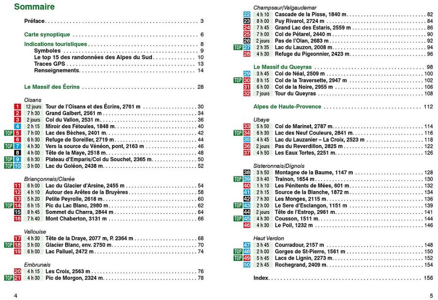
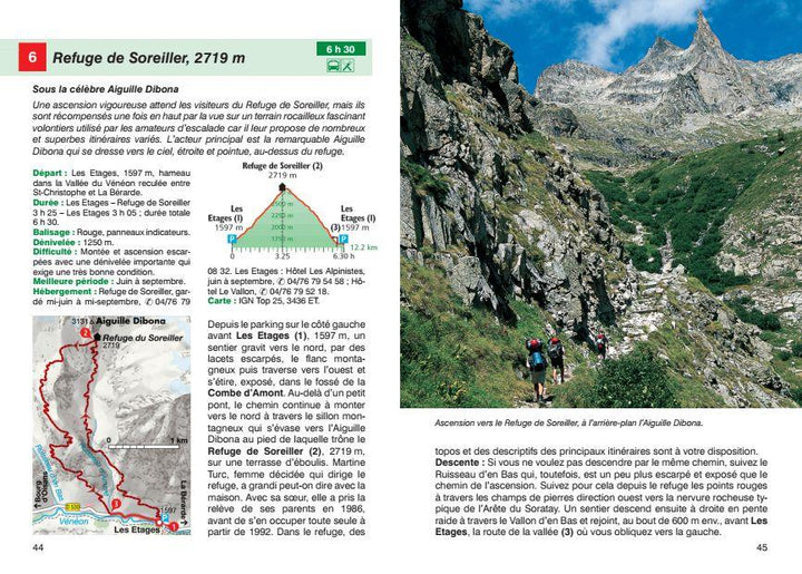
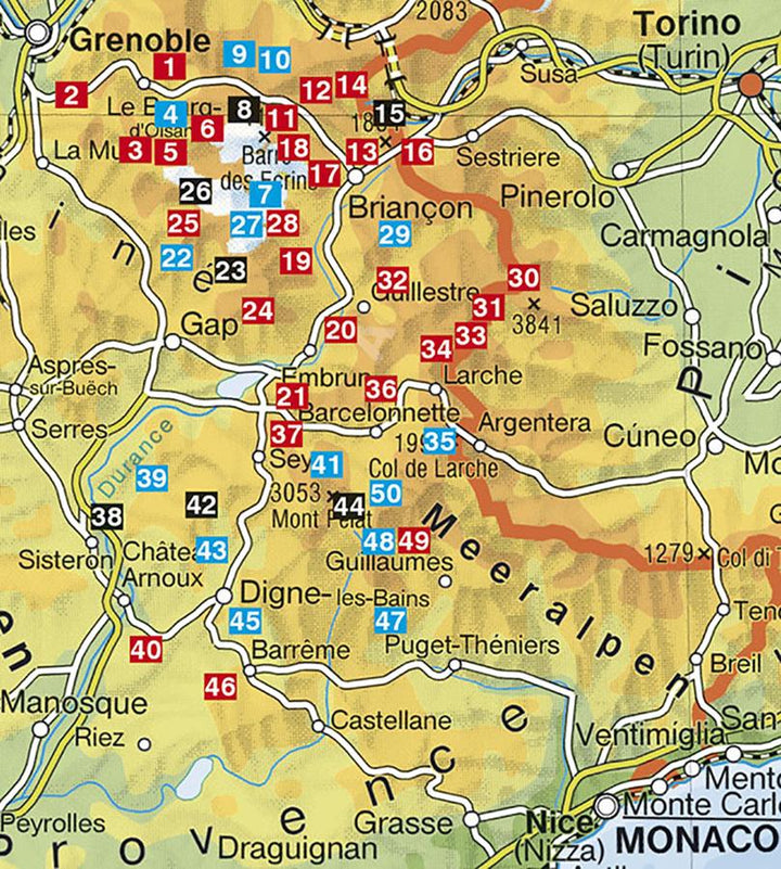
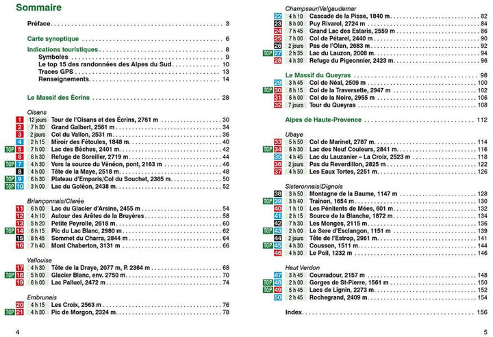
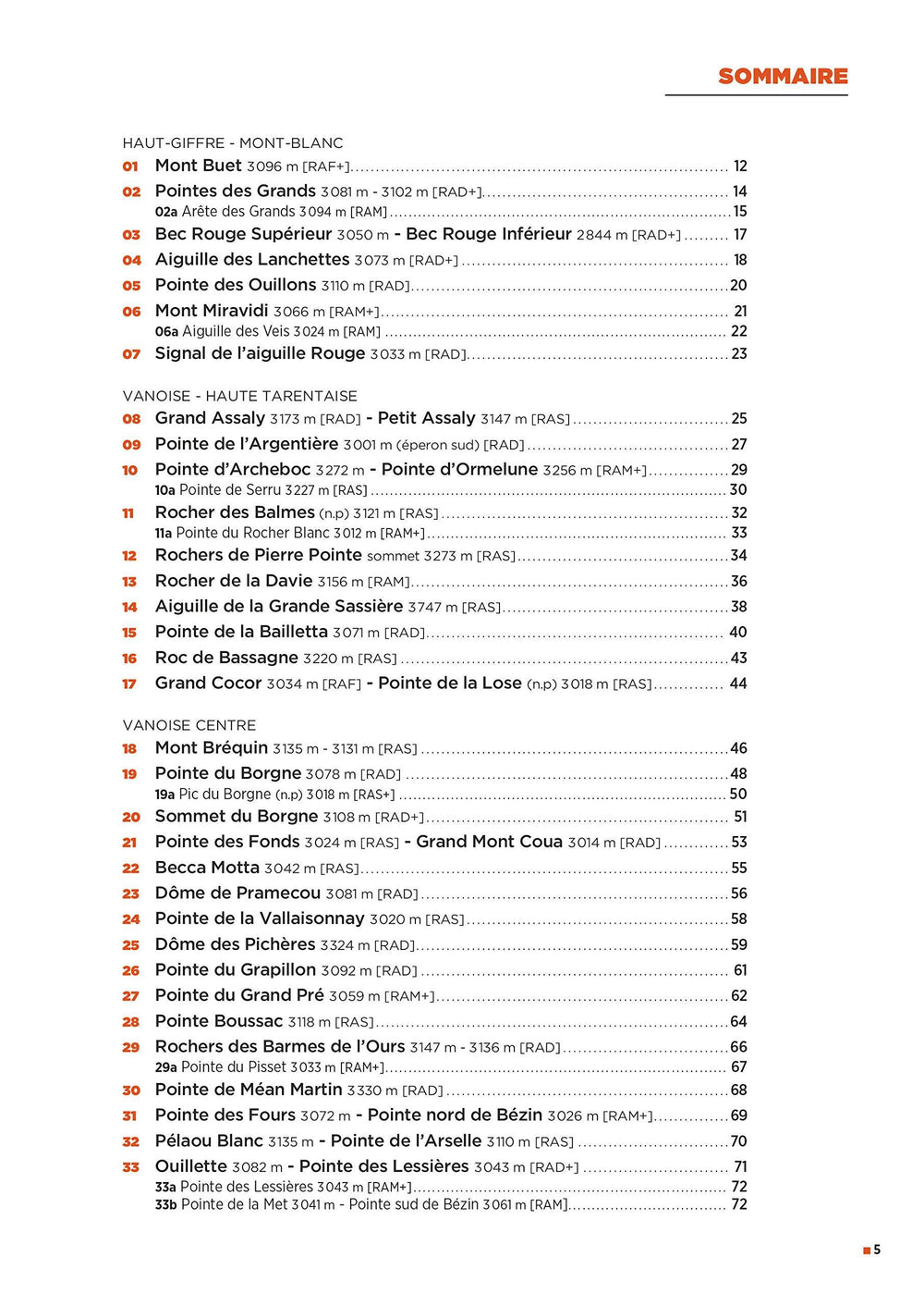
South Alps Hiking guide - Ecrins National Park, High Provence - published by Rother. Summary and example - type in photo. 160 pages, 89 color photos, 48 altitude profiles, 50 maps at 1: 25.000 / 1: 50.000 / 1: 75.000 / 1: 100,000, 2 synoptic maps.
GPS coordinates are downloadable for all routes on the publisher website.
The region of the Southern Alps presents two different faces but of a fascinating beauty: the mas - sif des Ecrins between the cities of Grenoble, Briançon and Gap is not only the highest mountain range of France after Mont Blanc but it can also boast of owning the top of 4000 m the southernmost of the Alps. In the Alps of Haute - Provence, on the other hand, we discover all the magic of Provence with mountains certainly more arid, but bigeragés where the gene dominates, lavender and herbs. The Rother "Southern Alps" Hiking guide here unveils these two different faces that are attractively and constantly renewed along the upper course of the Durance, at the junction point of the Northern Alps and the Alps of the South. The two authors Iris Kürschner and Dieter Haas awaken with the routes they propose the interest of the hiker for an intact landscape that rarely meet in the Alps region. They present in this book 32 hikes full of surprises around the largest French national park (plus 2 big hiking) in the massif of the Ecrins and that of Queyras as well as 18 courses in Haute - Provence between the valley of Ubaye, Sisteron and worthy . This guide includes nougeous peaceful cultural hikes as well as easy - off routes to magnificent views and lakes but also some harsh mountain excursions. In addition to a precise description of the Routes, informative altitude profiles and small Hiking maps with the route of courses, this Rother Hiking guide also offers GPS downloads to download and updated information to plan and hike - including essential details. The possibilities of accommodation and restoration / supply and many ideas of natural and cultural sites to visit.
The third edition of this Hiking guide has been completely redesigned and put to day.
ISBN/EAN : 9783763349265
Publication date: 2022
Pagination: 160 pages
Folded dimensions: 12 x 17cm
Language(s): French
Weight:
180 g


