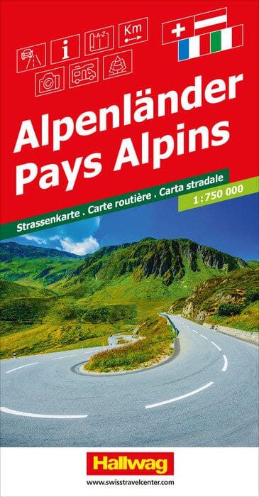
Road map - Alpine Countries | Hallwag

Price
Regular price $14.00
Regular price Sale price $14.00
Save $-14
/
  • Shipping within 24 working hours from our warehouse in France
  • Delivery costs calculated instantly in the basket
  • Free returns (*)
  • Real-time inventory
  • In stock, ready to ship
  • Backordered, shipping soon
Tax included.

Often purchased together:

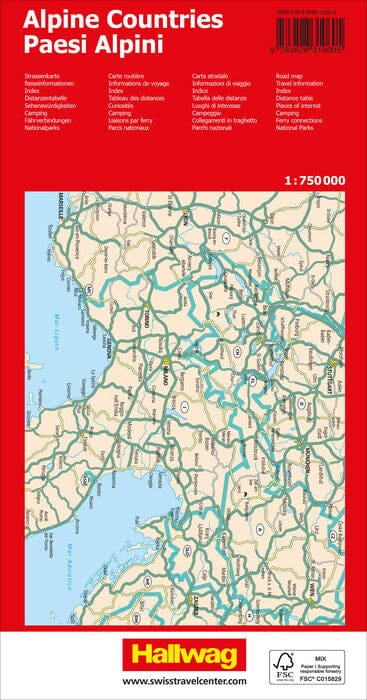
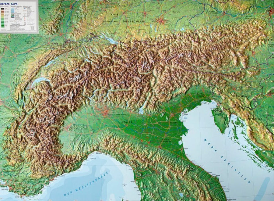
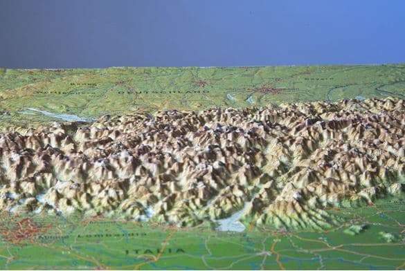
Road map of the Alpine countries.
The map covers the most important areas of France (Nice, Dijon, Mulhouse, etc.), Germany (Stuttgart, Munich, Freiburg, etc.), Austria (Salzburg, Vienna, Graz, etc.). ), from Slovenia (Ljubljana, etc.), from Croatia (Rijeka, Zagreb, etc.), from Italy (Bolzano, Milan, Genoa, Bologna, etc.) to Switzerland (Zurich, Bern, etc.).


ISBN/EAN : 9783828310605
Publication date: 2023
Scale: 1/750,000 (1cm=7.5km)
Printed sides: front
Folded dimensions: 25x13cm
Language(s): multilingual including French
Weight: 180 g

Customer Reviews

Be the first to write a review
0%
(0)
0%
(0)
0%
(0)
0%
(0)
0%
(0)
More from Alps
Carte routière - Alpes | Freytag & Berndt carte pliée Freytag & Berndt
Road map - Alps | Freytag & Berndt
Freytag & Berndt
$14.00
Atlas routier - Alpes | Freytag & Berndt atlas Freytag & Berndt
Road Atlas - Alpes | Freytag & Berndt
Freytag & Berndt
$38.00
Carte murale en relief - Les Alpes (en anglais) - 77 x 57 cm | Georelief carte relief Georelief Sans cadre
Carte murale en relief - Les Alpes (en anglais) | Georelief carte relief Georelief
Relief Wall map - The Alps - 77 x 57 cm | Georelief
Georelief
from $83.00