Regional map n° 523 - Auvergne-Rhône-Alpes: Rhône-Alpes 2025 | Michelin

Price
Regular price $8.00
Regular price Sale price $8.00
Save $-8
/
  • Shipping within 24 working hours from our warehouse in France
  • Delivery costs calculated instantly in the basket
  • Free returns (*)
  • Real-time inventory
  • In stock, ready to ship
  • Backordered, shipping soon
Tax included.

Often purchased together:

The Rhône-Alpes regional map at 1/200,000 (1 cm = 2 km) accompanies you on all your trips. Indication of service stations and safety alerts (increased vigilance zones) will allow you to drive with complete peace of mind.

This map gives you all the benefits of Michelin mapping: annual updates, recommended routes, intuitive legend and also city maps.

The plus points: indications of gas stations, rest areas and danger zones (slopes, difficult or dangerous routes, limited heights), recommended routes, intuitive legend.

Coverage: Isère, Loire, Rhône, Savoie, Haute-Savoie, Ain, Ardèche, Drôme.


ISBN/EAN : 9782067264809
Publication date: 2024
Scale: 1/200,000 (1cm=2km)
Printed sides: both sides
Folded dimensions: 25 x 11cm
Language(s): French, English, German, Italian
Weight: 90 g

Customer Reviews

Be the first to write a review
0%
(0)
0%
(0)
0%
(0)
0%
(0)
0%
(0)
More from Alps
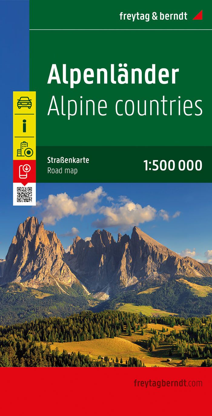
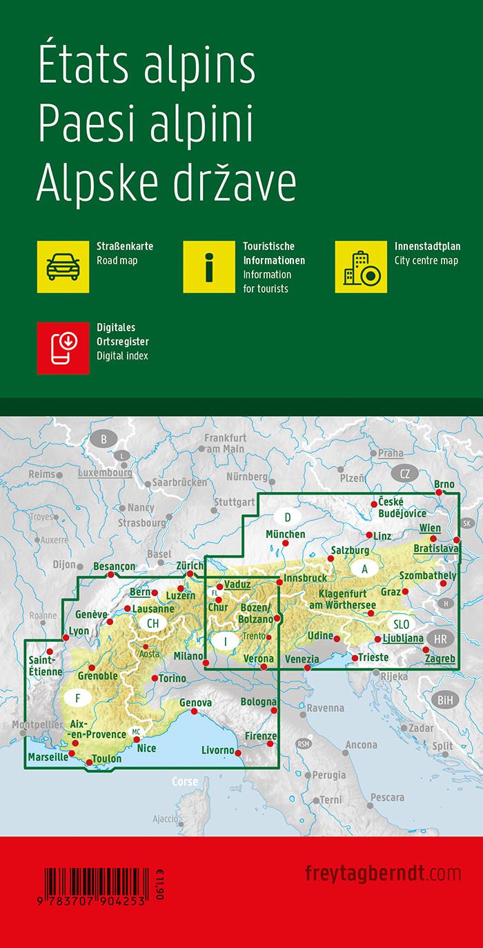
Carte routière - Alpes | Freytag & Berndt carte pliée Freytag & Berndt
Road map - Alps | Freytag & Berndt
Freytag & Berndt
$14.00
Atlas routier - Alpes | Freytag & Berndt atlas Freytag & Berndt
Road Atlas - Alpes | Freytag & Berndt
Freytag & Berndt
$38.00
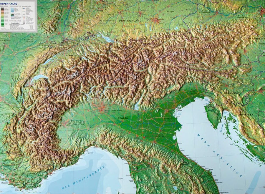
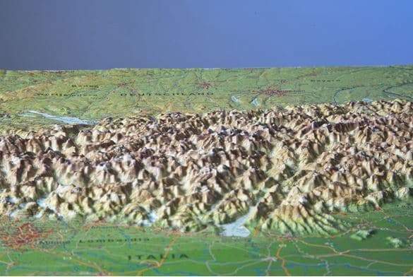
Carte murale en relief - Les Alpes (en anglais) - 77 x 57 cm | Georelief carte relief Georelief Sans cadre
Carte murale en relief - Les Alpes (en anglais) | Georelief carte relief Georelief
Relief Wall map - The Alps - 77 x 57 cm | Georelief
Georelief
from $83.00