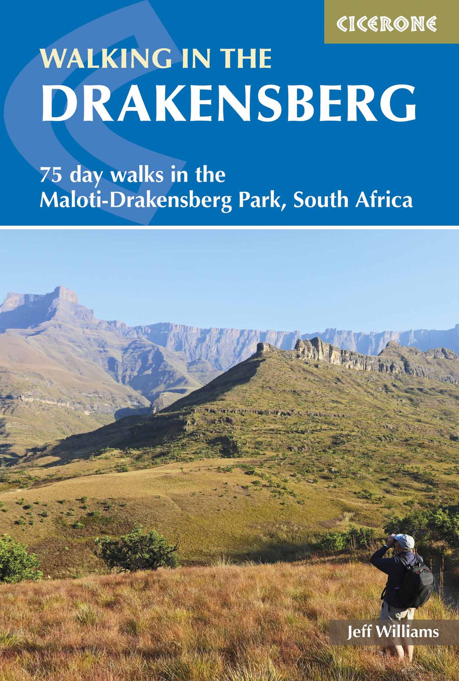
ISBN/EAN : 9788361155331
Publication date: 2012
Scale: 1/50,000 (1cm=500m)
Printed sides: both sides
Folded dimensions: 24 x 11 x 0.5cm
Unfolded dimensions: 100 x 48cm
Language(s): English
Weight:
125 g
Over 19,000 maps and travel guides, hiking maps, posters, globes, and decor in stock!
Over 19,000 maps and travel guides, hiking maps, posters, globes, and decor in stock!
Delivery at €2.90 for all orders between €30 and €50 (folded maps and guides, mainland France)
Delivery at €2.90 for all orders between €30 and €50 (folded maps and guides, mainland France)
Free delivery for all orders > €50 (folded maps and guides, mainland France)
Free delivery for all orders > €50 (folded maps and guides, mainland France)
-
Travel maps
-
Hiking
-
Wall maps
-
-
Travel accessories
-
-
Your cart is currently empty.
We accept
© 2025
La Compagnie des Cartes - Le voyage et la randonnée
General terms and conditions of salePrivacyRequest for access to personal data


