Waterproof hiking map - Southern Drakensberg (South Africa) | Tracks4Africa

Waterproof hiking map - Southern Drakensberg (South Africa) | Tracks4Africa

Waterproof hiking map - Southern Drakensberg (South Africa) | Tracks4Africa

Regular price $29.00
/
  • Delivery costs calculated instantly in the basket
  • Free returns (*)
  • Real-time inventory
  • In stock, ready to ship
  • Backordered, shipping soon
Tax included.

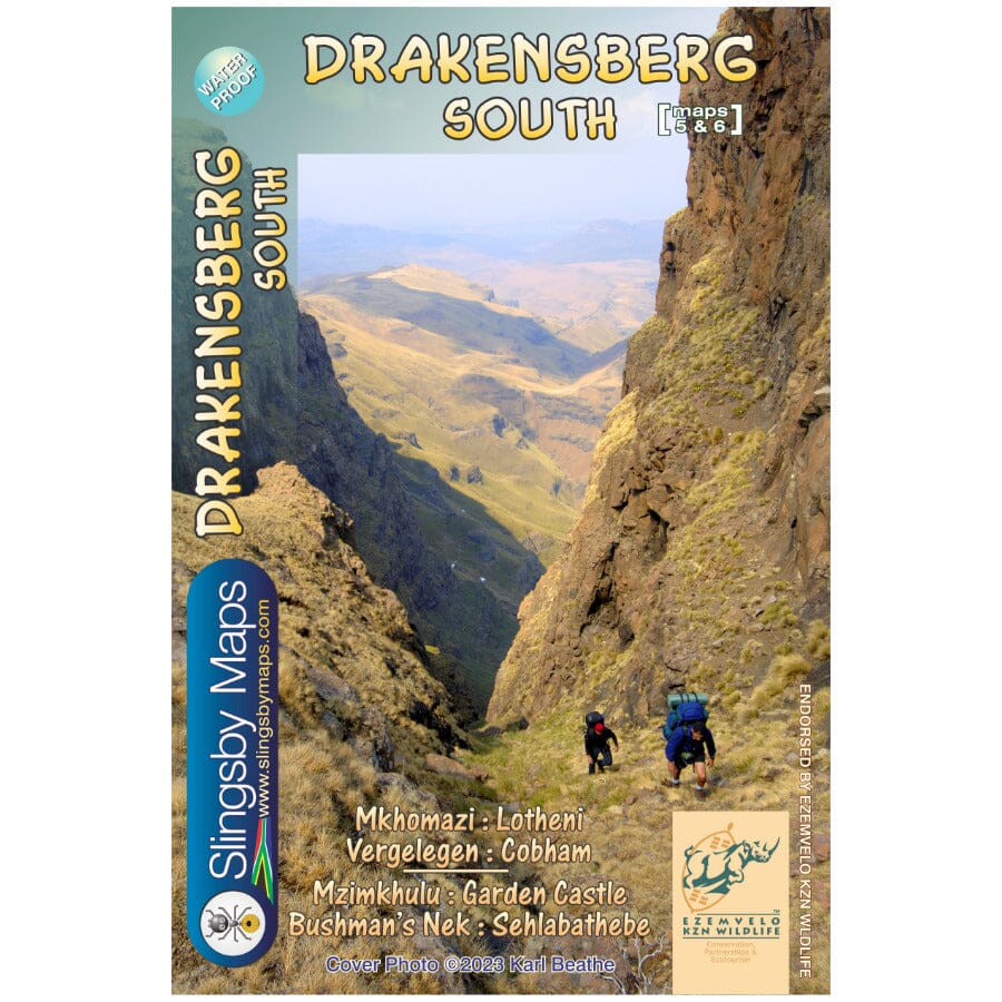
This double-sided map in A1 format covers the southern Drakensberg area. The first side covers the area from Lotheni southwards, through Vergelegen and the Mkhomazi Wilderness, to Sani Pass and Cobham. The second face continues south through the Mzimkhulu Wilderness to Garden Castle, and from there to Bushman's Nek and Sehlabathebe National Park. The map is printed on waterproof Duraflex media and comes in a plastic sleeve.


ISBN/EAN : 9781920377540
Publication date: 2023
Scale: 1/50,000 (1cm=500m)
Printed sides: both sides
Folded dimensions: 13 x 19cm
Language(s): English
Poids : 90 g

Customer Reviews

Be the first to write a review
0%
(0)
0%
(0)
0%
(0)
0%
(0)
0%
(0)