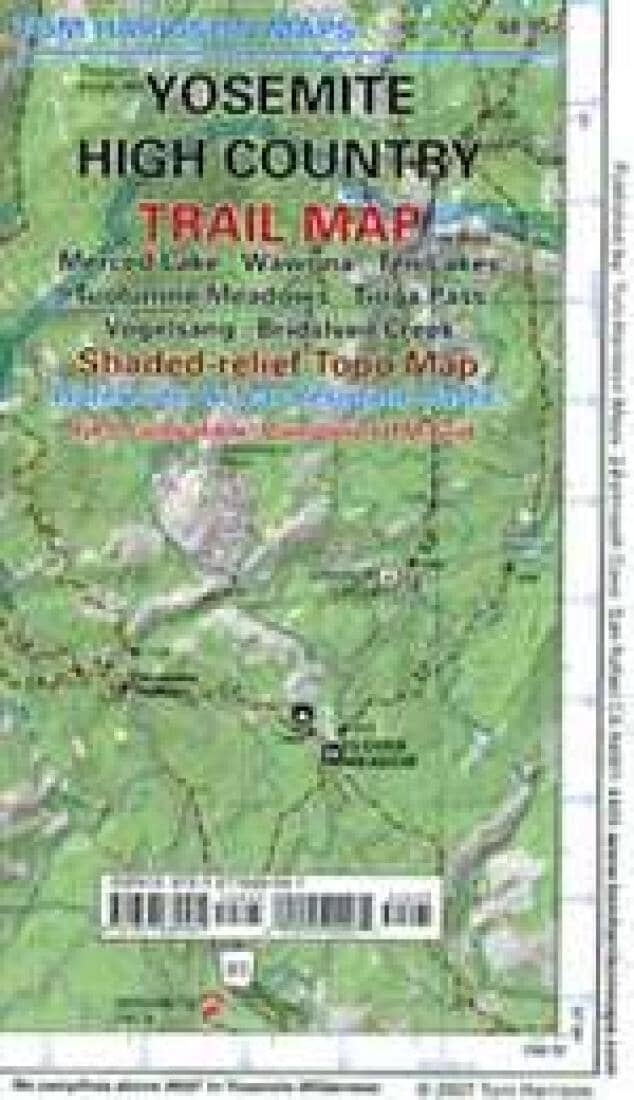
Yosemite High Country Trail Map by Tom Harrison Maps

Yosemite High Country Trail Map | Tom Harrison Maps

Price
Regular price $14.00
Regular price Sale price $14.00
Save $-14
/
  • Shipping within 48 business hours from our warehouse in the USA. For this product, customs fees may be requested by the carrier upon delivery.
  • Delivery costs calculated instantly in the basket
  • Free returns (*)
  • Real-time inventory
  • In stock, ready to ship
  • Backordered, shipping soon
Tax included.

Often purchased together:

Explore the Yosemite high country with this detailed topographic map, which gives contours, trails and other information for campers, hikers, and outdoor enthusiasts. Within this map is Merced Lake, Wawona, Ten Lakes, Tuolumne Meadows ,Tioga Pass, Vogolsang, and Bridesveil Creek. GPS - compatible with complete UTM Grid. Beautifully designed over the USGS topographic quads, enhanced with shaded relief.


ISBN/EAN : 9780981834481
Publication date: 2021
Folded dimensions: 7.09 inches x 4.33 inches (18 x 10 cm)
Unfolded dimensions: 25.59 inches x 36.22 inches (64 x 91 cm)
Language(s): English
Weight: 50 g

Customer Reviews

Be the first to write a review
0%
(0)
0%
(0)
0%
(0)
0%
(0)
0%
(0)