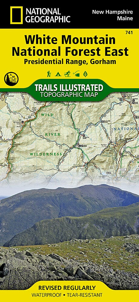
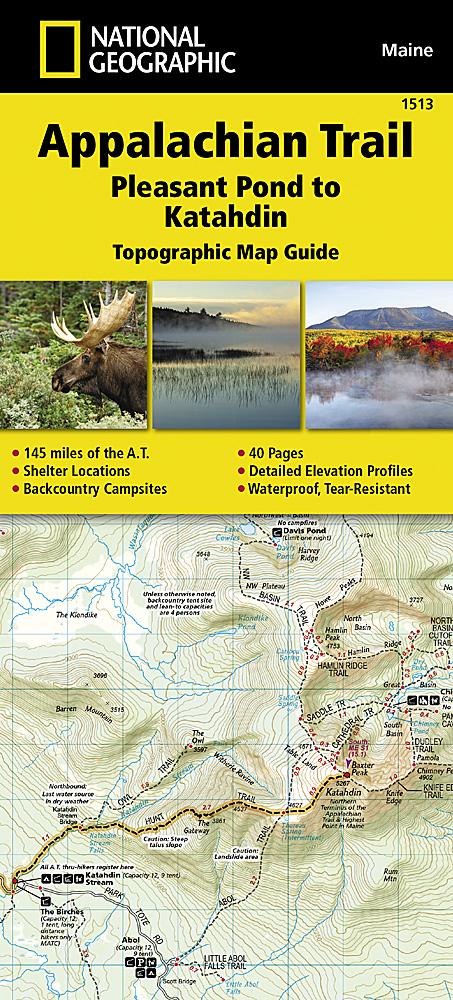
Carte des sentiers de la forêt nationale des White Mountains, Presidential Range et Gorham (Maine, New Hampshire), # 741 | National Geographic carte pliée National Geographic

Hiking map No. 741 - White Mountains National Forest, Presidential Range, and Gorham (Maine, New Hampshire) | National Geographic

Price
Regular price $17.00
Regular price Sale price $17.00
Save $-17
/
  • Shipping within 48 business hours from our warehouse in the USA. For this product, customs fees may be requested by the carrier upon delivery.
  • Delivery costs calculated instantly in the basket
  • Free returns (*)
  • Real-time inventory
  • In stock, ready to ship
  • Backordered, shipping soon
Tax included.

Often purchased together:

Waterproof and tear-resistant topographic hiking map of the eastern White Mountain National Forest.
Area covered includes: White Mountain National Forest, Mt. Washington, Tuckerman Ravine and Pinkham Notch, Dry River, Presidential Range; Great Gulf, and Caribou-Speckled Mountain Wilderness Areas. Appalachian National Scenic Trail: Crawford Notch State Park to Grafton Notch State Park, Maine. Moose Brook and Milan Hill State Parks. Berlin, Gorham, Jackson, and North Chatham. Includes UTM grids for use with your GPS device and a trail mileage matrix.

.

Map scale = 1:70,000

.


ISBN/EAN : 9781566954181
Publication date: 2020
Folded dimensions: 9.45 inches x 4.33 inches (24 x 11 cm)
Unfolded dimensions: 24.8 inches x 37.01 inches (63 x 94 cm)
Language(s): English
Weight: 100 g

Customer Reviews

Based on 1 review
100%
(1)
0%
(0)
0%
(0)
0%
(0)
0%
(0)
D
Dave B.
Love the map, easy to use and fold ...

Love the map, easy to use and fold up. Overall would highly recommend