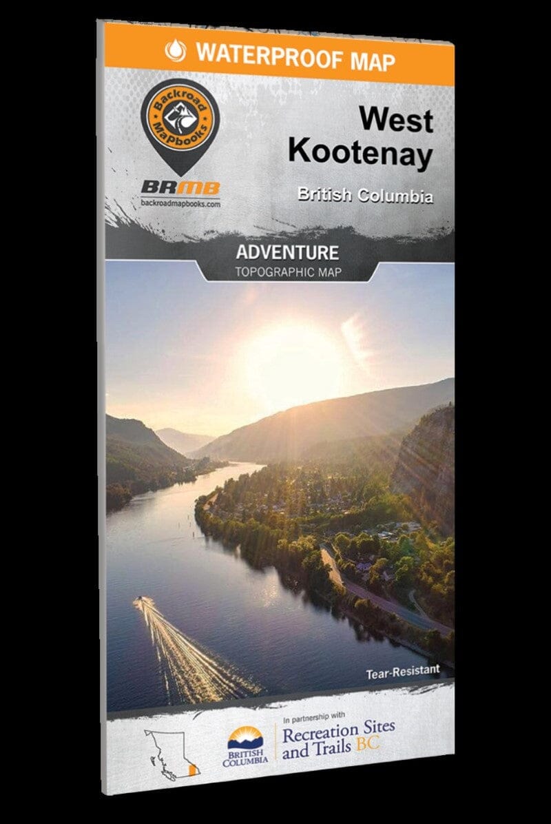
West Kootenay BC Recreation Map | Backroads Mapbooks carte pliée Backroads Mapbooks

West Kootenay BC Recreation Map | Backroads Mapbooks

Price
Regular price $21.00
Regular price Sale price $21.00
Save $-21
/
  • Shipping within 48 business hours from our warehouse in the USA. For this product, customs fees may be requested by the carrier upon delivery.
  • Delivery costs calculated instantly in the basket
  • Free returns (*)
  • Real-time inventory
  • In stock, ready to ship
  • Backordered, shipping soon
Tax included.

Often purchased together:

West of the Kootenay River in British Columbia’s beautiful southern interior lies the region known as the West Kootenay. Here, pristine mountain streams wind their way through deep valleys, while deer graze along the shoreline and snow-capped peaks tower above. This map captures this entire recreation-rich region and features an expansion of over 20,000 km² from our last edition, extending north of Revelstoke to cover the area around Golden, Kinbasket Lake and Banff National Park. This map has also been expanded west to include Grand Forks, Granby Provincial Park and the headwaters of Revelstoke Lake. In the south, we cover the outdoor adventure hotspots of Kaslo, Nelson, Trail and beyond. Whether you're looking to hike, camp, fish, paddle, swim, ski, snowshoe, hunt or mountain bike, this map gives you the most comprehensive coverage available anywhere.

To make navigating this region filled with outdoor adventures easier, the Backroad Mapbooks team has worked tirelessly to provide you with


ISBN/EAN : 9781989175095
Publication date: 2022
Folded dimensions: 9 x 4"
Language(s): English
Weight: 48 g

Customer Reviews

Be the first to write a review
0%
(0)
0%
(0)
0%
(0)
0%
(0)
0%
(0)