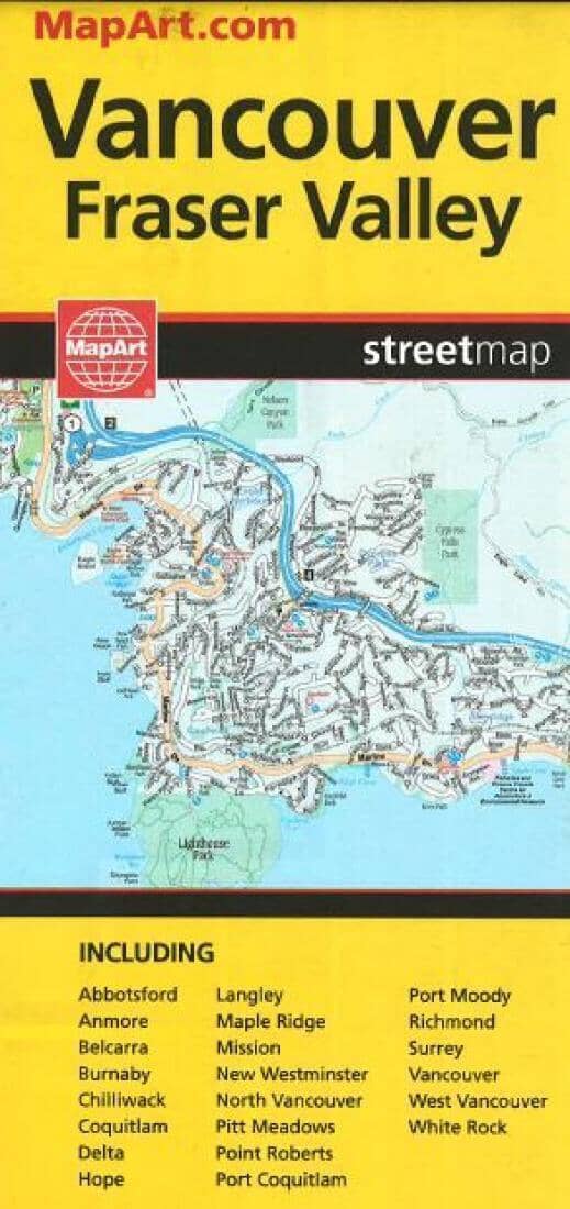
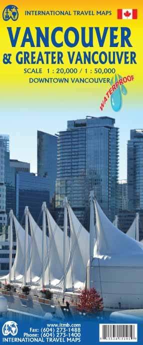
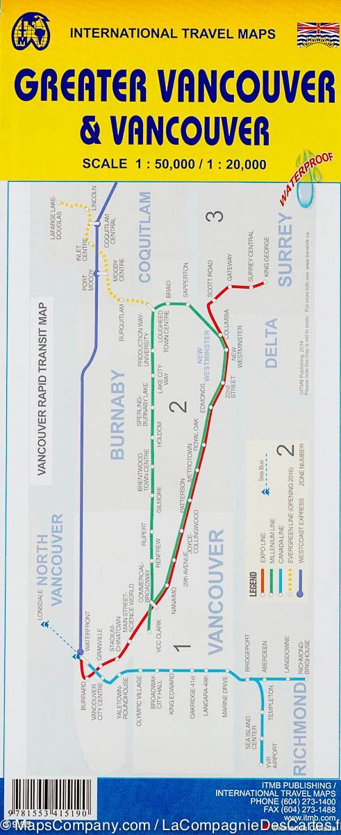
Vancouver and Fraser Valley, Street Map by Canadian Cartographics Corporation, MapArt

Vancouver & Fraser Valley Street Map | Canadian Cartographics Corporation

Price
Regular price $8.00
Regular price Sale price $8.00
Save $-8
/
  • Shipping within 48 business hours from our warehouse in the USA. For this product, customs fees may be requested by the carrier upon delivery.
  • Delivery costs calculated instantly in the basket
  • Free returns (*)
  • Real-time inventory
  • In stock, ready to ship
  • Backordered, shipping soon
Tax included.

Often purchased together:

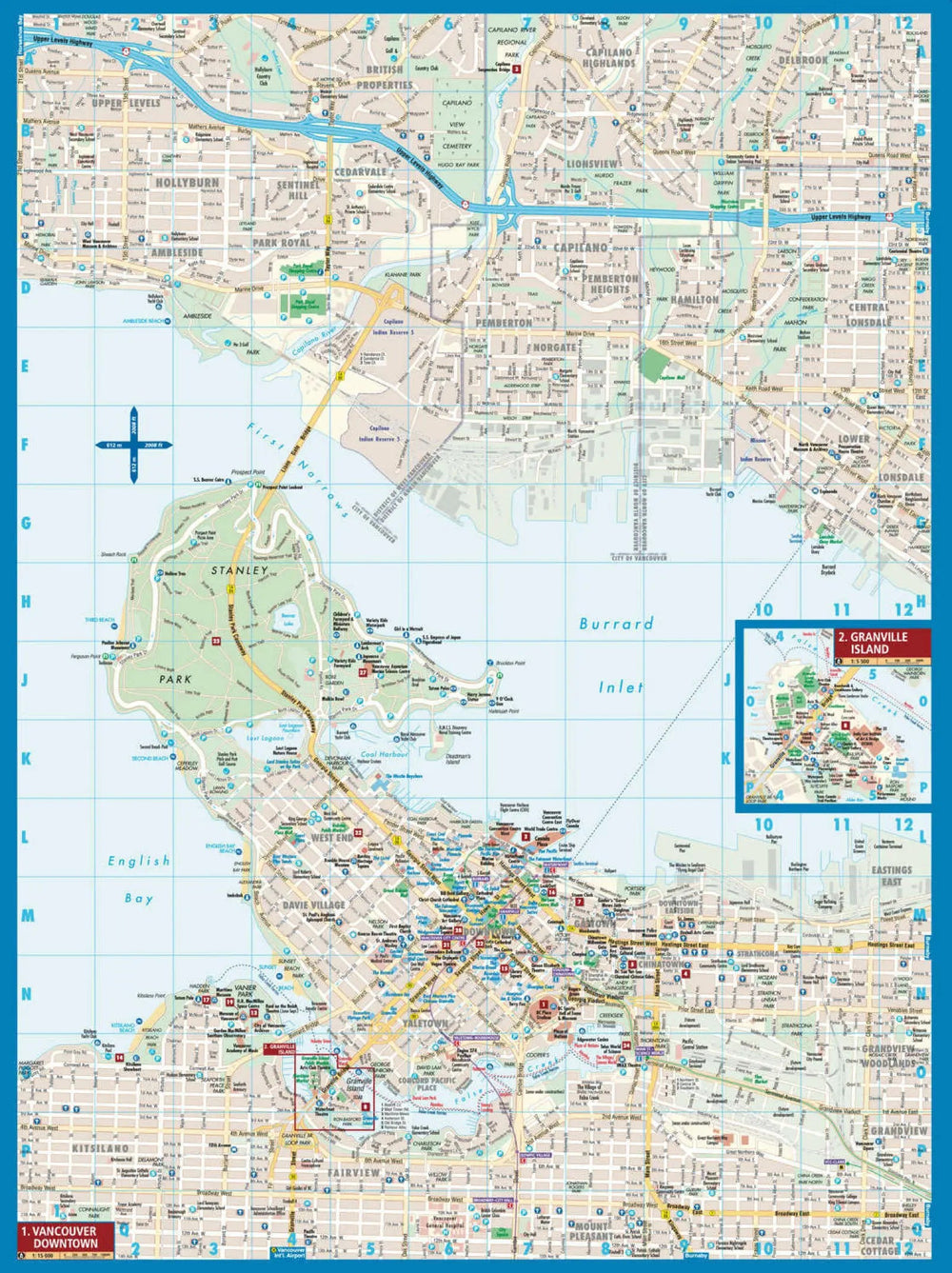
Full - colour map features detailed street information for Vancouver and Fraser Valley. Communities Included, Abbotsford, Anmore, Belcarra, Burnaby, Chilliwack, Coquitlam, Delta, Hope, Ladner, Langley (City), Langley (Township), Maple Ridge, Mission, New Westminster, North Vancouver (City), North Vancouver (District), Pitt Meadows, Port Coquitlam, Port Moody, Richmond, Surrey, Tsawwassen, University of British Columbia, Vancouver, West Vancouver, and White Rock plus Regional map. Also includes Arenas, Community Centres, Golf Courses, Hospitals, Parks, Points of Interest, Schools, Shopping Centres, Rapid Transit and much more.


ISBN/EAN : 9781554860548
Publication date: 2015
Folded dimensions: 9.45 inches x 4.33 inches (24 x 11 cm)
Unfolded dimensions: 36.22 inches x 46.85 x 39.17 inches (92 x 119 x 99.5 cm)
Language(s): English
Weight: 100 g

Customer Reviews

Be the first to write a review
0%
(0)
0%
(0)
0%
(0)
0%
(0)
0%
(0)