Topoguide de randonnée - Vals Aix & d'Isable à pied (Loire) | FFR guide de randonnée FFR - Fédération Française de Randonnée

Topoguide Hiking - Vals Aix & Deasable on foot (Loire) | FFR (French)

Topoguide Hiking - Vals Aix & Deasable on foot (Loire) | FFR (French)

Regular price $14.00
/
  • Shipping within 24 working hours from our warehouse in France
  • Delivery costs calculated instantly in the basket
  • Free returns (*)
  • Real-time inventory
  • In stock, ready to ship
  • Backordered, shipping soon
Tax included.
Topoguide of the "promenade & amp hiking" collection.
16 walks.
located 30 minutes from Roanne and less than an hour from Saint-Etienne, Lyon or Clermont-Ferrand, the Vals Aix and Isable await you for a large air bowl. Closer to the Gorges de la Loire!
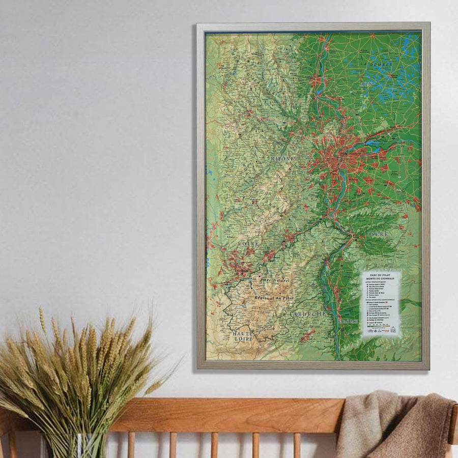
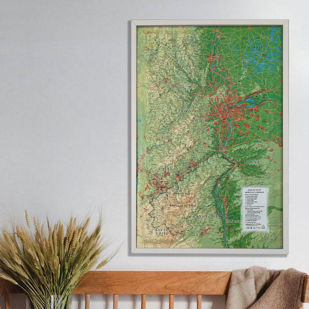
born of two rivers, the Vals of Aix and Isable descend to the Loire River, between Roannais and Forez. From west to east, the relief oscillates between hills (up to nearly 900 m altitude in the municipality of Saint-Martin-la-Suteau), Vallons, the Plateau de Saint-Paul-de-Vézelin, The plain of Forez dotted with ponds and forests and the banks of the Loire (320 m altitude).
Here, the trails take you to taste the freshness and tranquility of multiple courses of water, young and old. Villages, Chapels, Priory or Medieval Bourg (Historic Sites of Saint-Germain-Laval and Pommeliers-en-Forez) will extend your discoveries of a territory rich in tourist accommodation.


ISBN/EAN : 9782751406362
Publication date: 2013
Pagination: 48 pages
Folded dimensions: 21x13cm
Language(s): French
Poids : 106 g

Customer Reviews

No reviews yet
0%
(0)
0%
(0)
0%
(0)
0%
(0)
0%
(0)