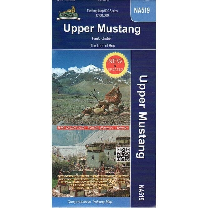


Nepal Trekking Map - Upper Mustang (NA519) | Himalayan MapHouse
Regular price
$25.00
Regular price
Sale price
$25.00
Save $-25
/
- Shipping within 48 business hours from our warehouse in the USA. For this product, customs fees may be requested by the carrier upon delivery.
- Delivery costs calculated instantly in the basket
- Free returns (*)
- Real-time inventory
Related geographic locations and collections: Himalayas (hiking maps), Nepal