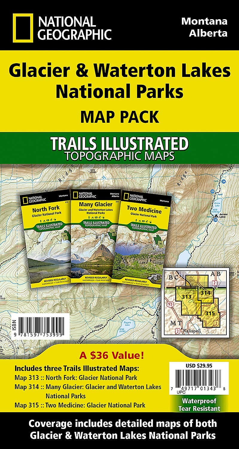
Topographic maps of Glacier National Park and Waterton Lakes National Park (Montana, Alberta) published by National Geographic.
In 1932, the United States and Canada created the world's first International Peace Park by joining together Glacier National Park in Montana and Waterton Lakes National Park in Canada as Waterton-Glacier International Peace Park. The three map set of the Glacier and Water Lakes National Parks Map Pack Bundle cover the peace park in great detail. Two of the maps cover the much larger Glacier National Park while a single detailed map covers Water Lakes National Park. All three maps show the dramatic landscapes of glacial carved valleys and peaks in great detail.
The maps include snow and water hazards as well as a complete trail network with backcountry camp sites clearly shown.
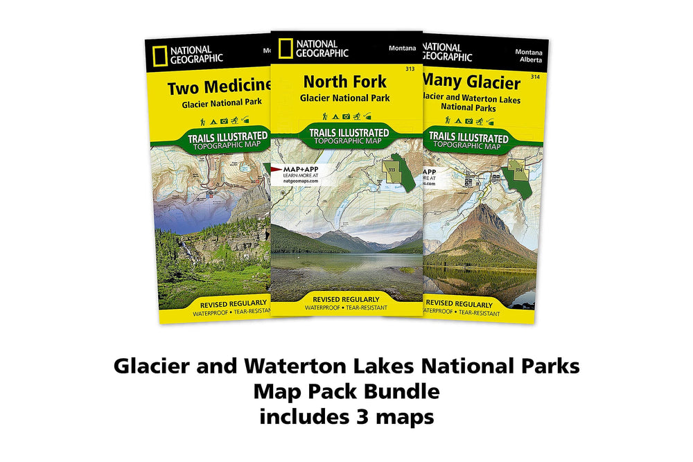
The Glacier and Waterton Lakes National Parks Map Pack includes:
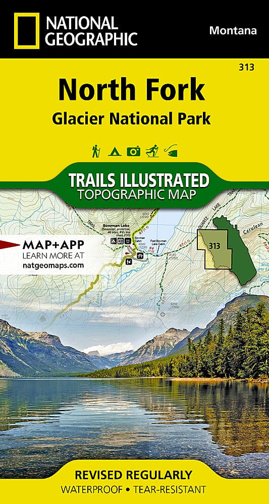
Map 313 - North Fork: Glacier National Park
Map 314 - Many Glacier: Glacier and Waterton Lakes National Parks
Map 315 - Two Medicine: Glacier National Park
These topographic maps are waterproof and tear-resistant.
Scale 1/50,000.
Related geographic areas or categories: Alberta , Canadian rockies , Glacier National Park , Montana , National Geographic Maps & Travel Guides , National Geographic Travel Guides , Northwest USA , US National Parks (hiking maps) , Waterton Lakes National Park , Western Canada
ISBN: 9781597753999