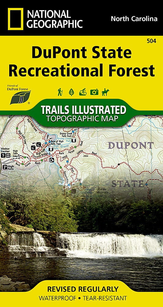
Carte des sentiers de la DuPont State Recreational Forest (Caroline du Nord), # 504 | National Geographic carte pliée National Geographic

Hiking map No. 504 - DuPont State Recreational Forest (North Carolina) | National Geographic

Price
Regular price $14.00
Regular price Sale price $14.00
Save $-14
/
  • Shipping within 48 business hours from our warehouse in the USA. For this product, customs fees may be requested by the carrier upon delivery.
  • Delivery costs calculated instantly in the basket
  • Free returns (*)
  • Real-time inventory
  • In stock, ready to ship
  • Backordered, shipping soon
Tax included.

Often purchased together:

Topographic map of DuPont State Recreation Forest (North Carolina) published by National Geographic.

In the late 1990s, the Friends of DuPont Forest, a volunteer service organization, began acquiring land for the nation's first state recreation forest. After years of work to acquire land, DuPont State Recreation Forest now includes over 80 miles of trails spanning a complex trail system. Most of these trails are open to hiking, horseback riding, and mountain biking. A few have been designated as hiking-only to allow hikers to use the trails at a slower pace. Each trail has a difficulty rating and mileage indicated on the map; there's no need to look this up in a separate table. One of the main attractions of the State Recreation Forest is the abundance of waterfalls. There's even a waterfall chart to help locate these stunning features and aid in planning.

Reverse displays a group of selected loop trails for all skill levels, from beginner to expert. Each suggested loop has a trail profile that clearly shows the climbs and descents, as well as trail junctions and other waypoints along the way. The loops also include turn-by-turn directions and commentary on interesting landmarks along the way.

The full UTM grid is available in English.

A full UTM grid is printed on the map to aid in GPS navigation.
This trail map is waterproof and tear-resistant.
Scale 1:22,500.

This is a 1:22,500 scale map.


ISBN/EAN : 9781597756259
Publication date: 2021
Scale: 1/22,500 (1 cm = 225 m)
Printed sides: both sides
Folded dimensions: 7.48 inches x 3.94 inches (19 x 10 cm)
Unfolded dimensions: 18.9 x 21.26 inches (48 x 54 cm)
Waterproof: oui
Tear resistant: oui
Language(s): English
Weight: 60 g

Customer Reviews

Be the first to write a review
0%
(0)
0%
(0)
0%
(0)
0%
(0)
0%
(0)