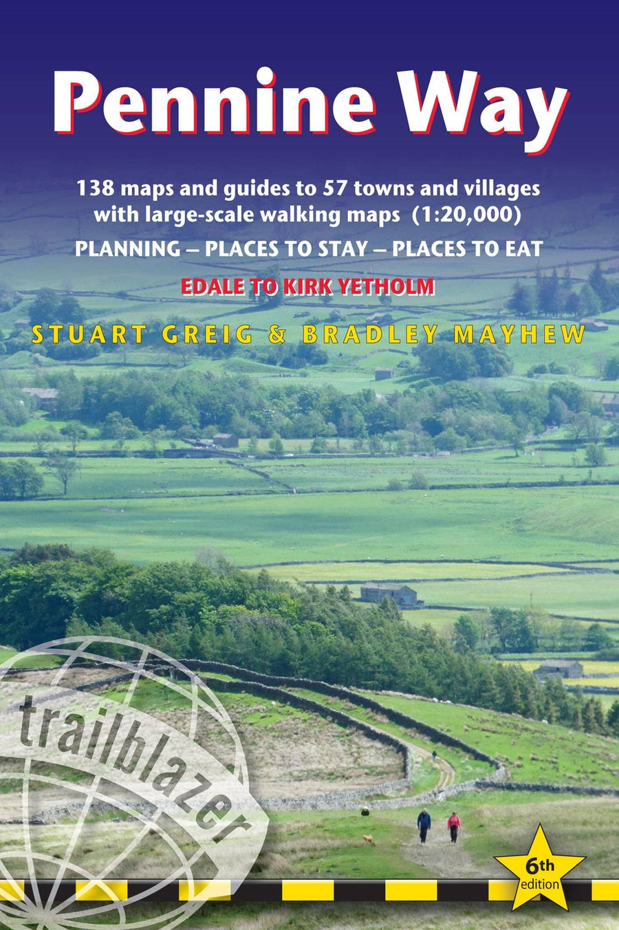
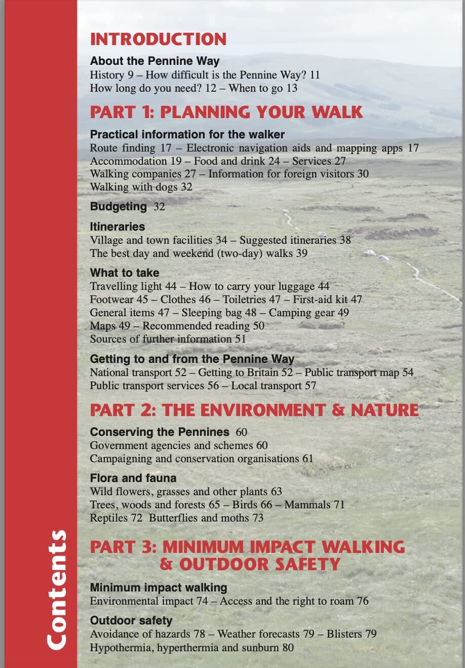
Topoguide de randonnées (en anglais) de la Pennine Way éditée par Trailblazer.
Description de l'éditeur :
Trailblazer British Walking guide: Pennine Way. Britain's best-knwn National Trail winds for 256 miles through three National Parks - the Peak District, Yorkshire Dales and Northumberland. This is the 6th edition.
This superb footpath showcases Britain's finest upland scenery, while touching the literary landscape of the Bronte family and Roman history along Hadrian's Wall.
* All-in-one guide.
* 138 large-scale walking maps - at just under 1:20,000 - showing route times, gradients, where to stay, interesting features.
* Mapping now in NEW two-colour style
* Guides to 57 towns and villages - along the way.
* Itineraries for all walkers - whether walking the route in its entirety or sampling the highlights on day walks and short breaks.
* Practical information for all budgets - Edale to Kirk Yetholm.
* Where to stay with reviews - B&Bs, hostels, campsites, pubs and hotels.
* Where to eat with reviews .
* What to see, plus detailed town plans.
* Public transport information - for all access points on the path.
* GPS waypoints - also downloadable from the Trailblazer website.
* Extra colour sections: 16pp colour introduction and 16pp of colour mapping for stage sections (one stage per page) with trail profiles.
ISBN/EAN : 9781912716333
Publication date: 2023
Pagination: 320 pages
Folded dimensions: 13.9 x 21.3cm
Language(s): English
Weight:
280 g


