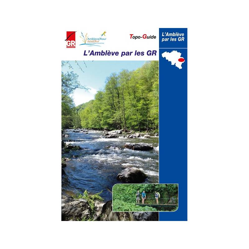
Topoguide de randonnée - L’Amblève par les GR, Comblain- Stavelot-Robertville-But (Belgique) | Les Sentiers de Grande Randonnée guide de randonnée Les Sentier de Grande Randonnée

Topoguide Hiking - The GR, Comblain- Stavelot-Robertville-Goal (Belgium) | The trails of great hiking (French)

Topoguide Hiking - The GR, Comblain- Stavelot-Robertville-Goal (Belgium) | The trails of great hiking (French)

Regular price $28.00 Sale price $21.00 Save $7
/
  • Shipping within 24 working hours from our warehouse in France
  • Delivery costs calculated instantly in the basket
  • Free returns (*)
  • Real-time inventory
  • In stock, ready to ship
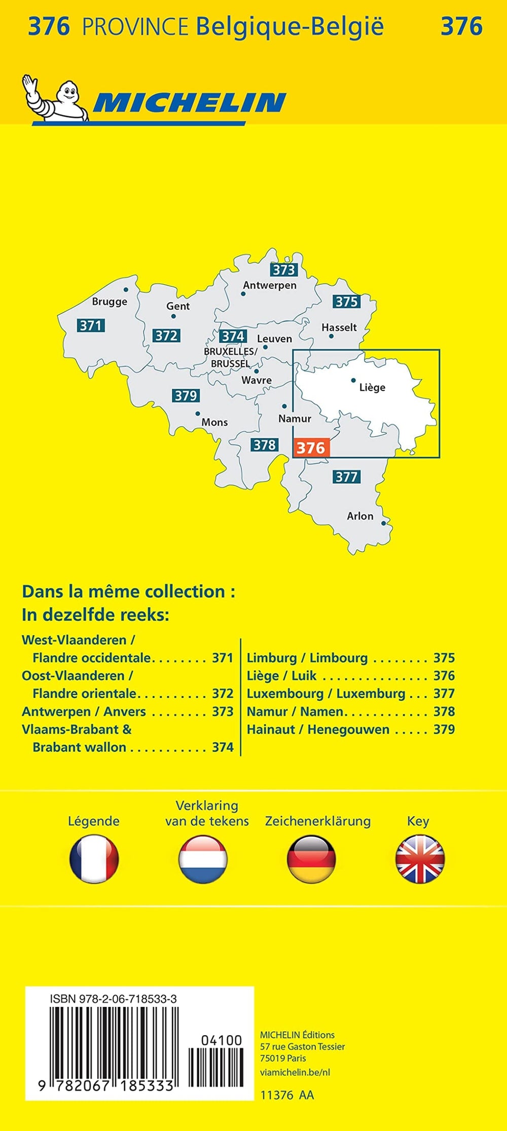
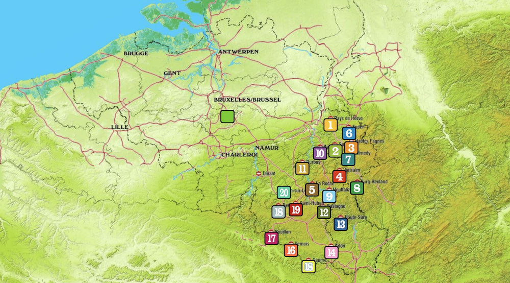
  • Backordered, shipping soon
Tax included.
Going to discover the Amblève and its tributaries.
To discover the beauty and riches of the river and its basin, this is the purpose of this new topo-guide.
He takes the hiker from Comblain-au-Pont, where the river flows into the Ourthe, up to its source on the Heppenbach side, near Amel - Amblève. But it also takes it along several tributaries, including the Warche, and on the banks of the Lakes of Bütgenbach and Robertville. Or in these almost mythical places, such as the COO waterfall, quarry funds or Ninglinspo. The route of "The Amblève by the GR" brings together sections of the GR 57, 14, 15, 5 ... but especially from the GR 56 "Cantons de l'Est and Natural Park Hautes Fagnes - Eifel" and the GRP 571 "Tour of the valleys of the legends: Amblève - Salm - Lienne".

At this "GR amblève" course, are added ten loops that are grafted on the basic itinerary and take the hiker closer to the Amblève or along the streams that deserve to be discovered:
1. Comblain-au-bridge loop
2. MartinRive loop
3. Ninglinspo loop
4. Stoumont loop
5. Gleaze loop
6. COO Loop
7. Loop of three-bridges
8. Loop of Am Kloster
9. Bütgenbach Lake Loop
10. Reinhardstein buckle

The hiker will find in this topo-guide information of cultural and tourist type. The emphasis was put on the life of the river. Several paragraphs are devoted to the geology of the basin, the production of hydropower or the fish of the Amblève (where salmon have been reintroduced a few years ago). The river often inspired writers and painters, pages are reserved for "the Amblève and the Artists".
In another register, the presence of beavers in the Ardennes valleys being subject to discussion, the topo does, in a nuanced way, the point on this controversy. The enthusiasts of history and archeology, meanwhile, will find their account in the evocation of the abbey principal of Stavelot-Malmedy and the presentation of monastic buildings, furnished in remarkable museums
Topo-Guide Content:
Directions description
Distances and dimensions
Tourist explanations
Stations and bus stops, with line numbers
Refueling, Cafes
Accommodations
Photos
General map to 1: 250.000
1: 50,000 maps with the plot


ISBN/EAN : 9782930488158
Publication date: 2019
Pagination: 159 pages
Folded dimensions: 14 x 21cm
Language(s): French
Poids : 200 g

Customer Reviews

No reviews yet
0%
(0)
0%
(0)
0%
(0)
0%
(0)
0%
(0)