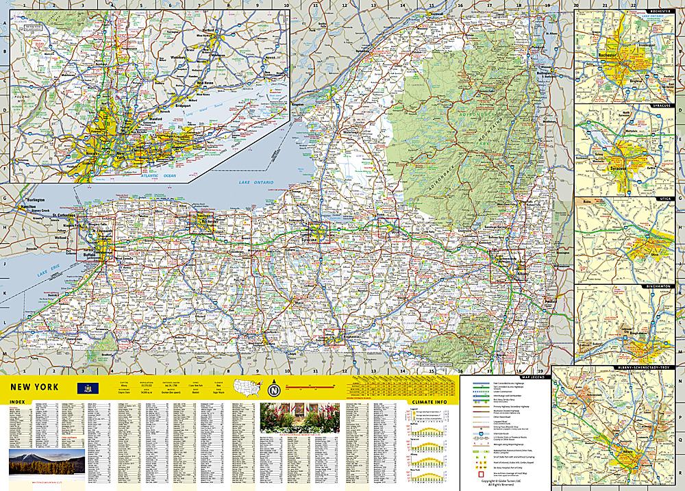
Topographic map of Harriman, Bear Mountain, Sterling Forest (New York) published by National Geographic.
This is a double-sided, waterproof map designed to meet the needs of outdoor enthusiasts with durability and extensive detail. Packed with valuable safety tips, outdoor recreation guidelines, park contact information, and more, the map also includes a UTM and Latitude/Longitude grid, as well as selected landmarks and a scale bar for easy and accurate navigation.
.
The Appalachian Trail, Long Path Trail, and other National Recreation Trails wind through the region. Each trail is clearly marked, as are trail mileage, park and forest boundaries, parking areas, and access points. Trail use is indicated for horseback riding, cross-country skiing, and biking. Whether RVing or roughing it, campers will appreciate RV dump stations, group sites, shelters, restrooms, and more. Year-round activities abound in the region, and the location of scenic overlooks, observation towers, downhill ski resorts, boat rentals, fishing access points, and other points of interest make this map as highly functional as it is remarkably well-crafted.
- The front or south side of the map includes the southern portion of Harriman and Sterling Forest State Parks, which extend from the New Jersey border and the southern tip of the Ramapo Mountains north to Lake Mombasha and Lake Tiorati.
- The back of the map shows the northern half of both parks and Bear Mountain State Park on the Hudson River.
Popular locations included on the map:
Lake Mombasha, the Hudson River, the Ramapo Mountains, Lake Tiorati, Stony Point Battlefield State Historic Site, Montrose Point State Forest, Lake Sebago, High Tor State Park, Minisceongo Creek, Tuxedo Lake, Ramapo River, Lake Welch.
This topographic map is waterproof and tear-resistant.
Scale 1:30,000.


