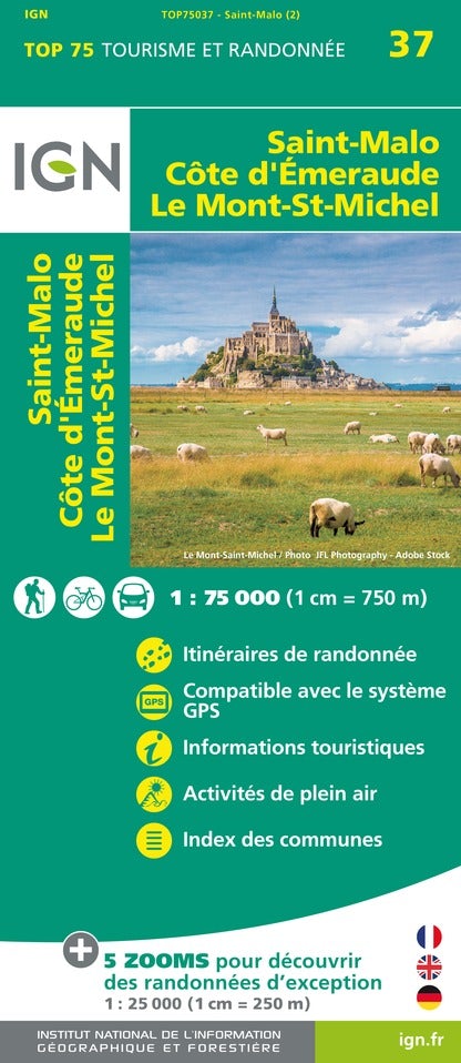
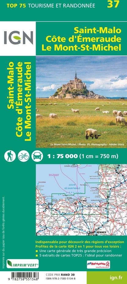
This map is based on the GR® de Pays Tour du Pays Malouin. A 6-day, looping route of over 100km, starting from Saint-Malo, exploring the Emerald Coast, its sandy coves and steep cliffs, and the hilly, winding Rance estuary. This route, between land and sea, passing through the northern Pointe du Grouin, will allow you to discover both the coastline and the coastal towns of Saint-Malo and Cancale.
In 2025, the map will evolve: a softened four-color process and reinforced paper (still rainproof!). The GPX track and a selection of accommodation and useful addresses remain accessible via MaRando, the FFRandonnée application.
The topocarte is the essential and practical tool to simplify roaming.
Main sites: Saint-Malo, Cancale, Pointe du Grouin, Rance estuary, Emerald Coast.
Highlights:
✔ A 6-day GRP® itinerary between land and sea
✔ Precise IGN mapping with detailed route
✔ Access to GPX tracks and accommodation via MaRando
✔ A practical and rain-resistant format
✔ Accessible by train from Paris in less than 3 hours
ISBN/EAN : 9782751413681
Publication date: 2025
Scale: 1/25,000 (1cm=250m)
Printed sides: both sides
Folded dimensions: 25 x 10.7 x 0.3 cm
Language(s): French
Weight:
80 g


