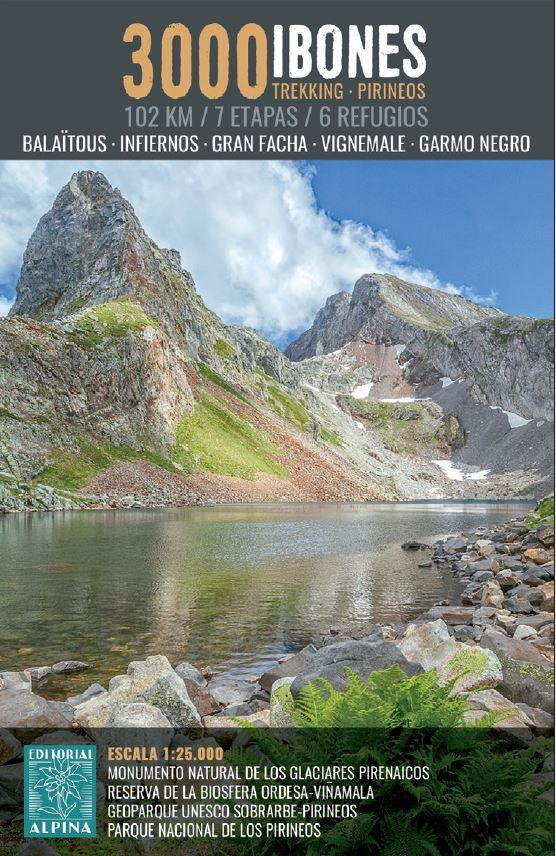
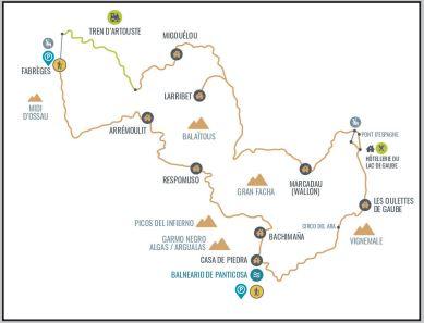
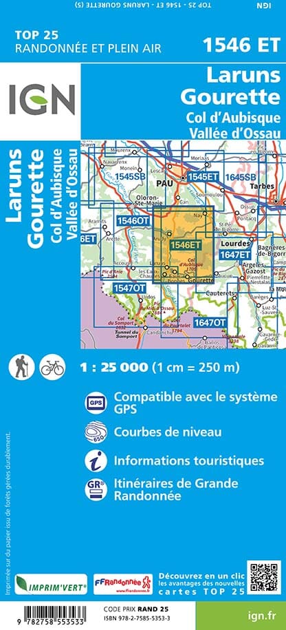
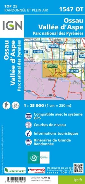
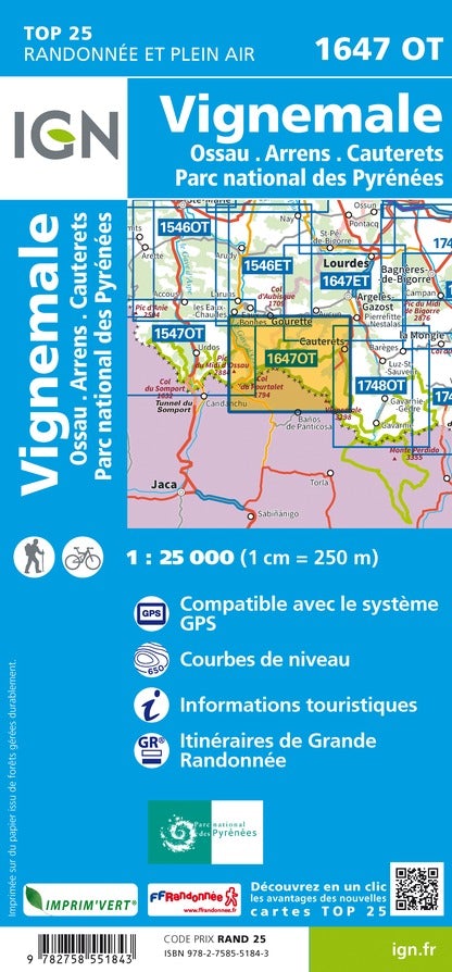
This map is based on the GRP® Tour de la Vallée d'Ossau. A 99 km loop route starting from Louvie-Juzon. A sporty route (6,400 m of elevation gain!) in the low and mid-mountains for lovers of contrasting landscapes: high-altitude pastures, granite rocks, forests, peaks, and mountain lakes. A route specially designed for bivouacking (3 stages without accommodation but with a bivouac pitch).
In 2025, the topographic map will evolve to better meet the needs of itinerant hikers: improved visibility, reinforced paper and a QR code for easier access to the GPX track and a selection of useful addresses.
Main sites: Pyrenees National Park, Ossau Valley, Pic du Midi d'Ossau, Pau.
Highlights:
📌 Specially designed for bivouacking : 3 stages without accommodation but with dedicated pitches.
📌 Precise IGN mapping at 1:25,000 for optimal tracking.
📌 Evolution 2025 : softened four-color process and reinforced paper, still rain-resistant!
📌 Access to GPX tracks and selection of accommodation via the MaRando application.
📌 A compact and practical tool to simplify roaming.
ISBN/EAN : 9782751413674
Publication date: 2025
Scale: 1/25,000 (1cm=250m)
Printed sides: both sides
Folded dimensions: 25 x 10.7 x 0.3 cm
Language(s): French
Weight:
80 g