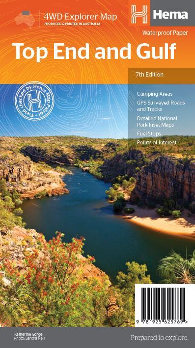
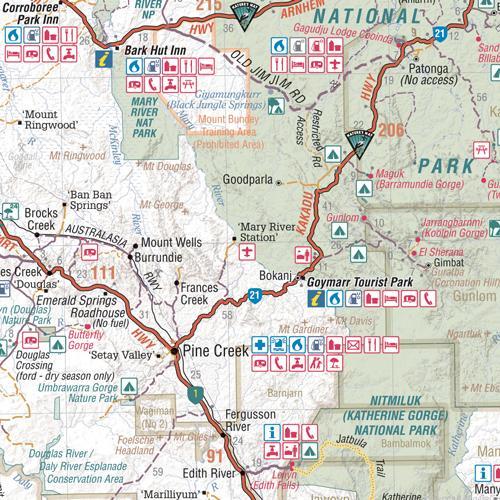
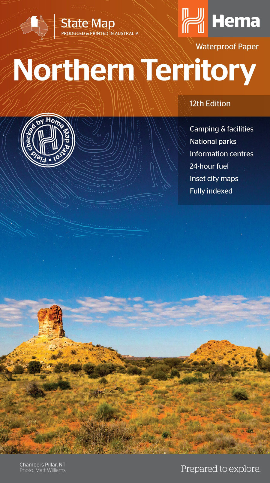
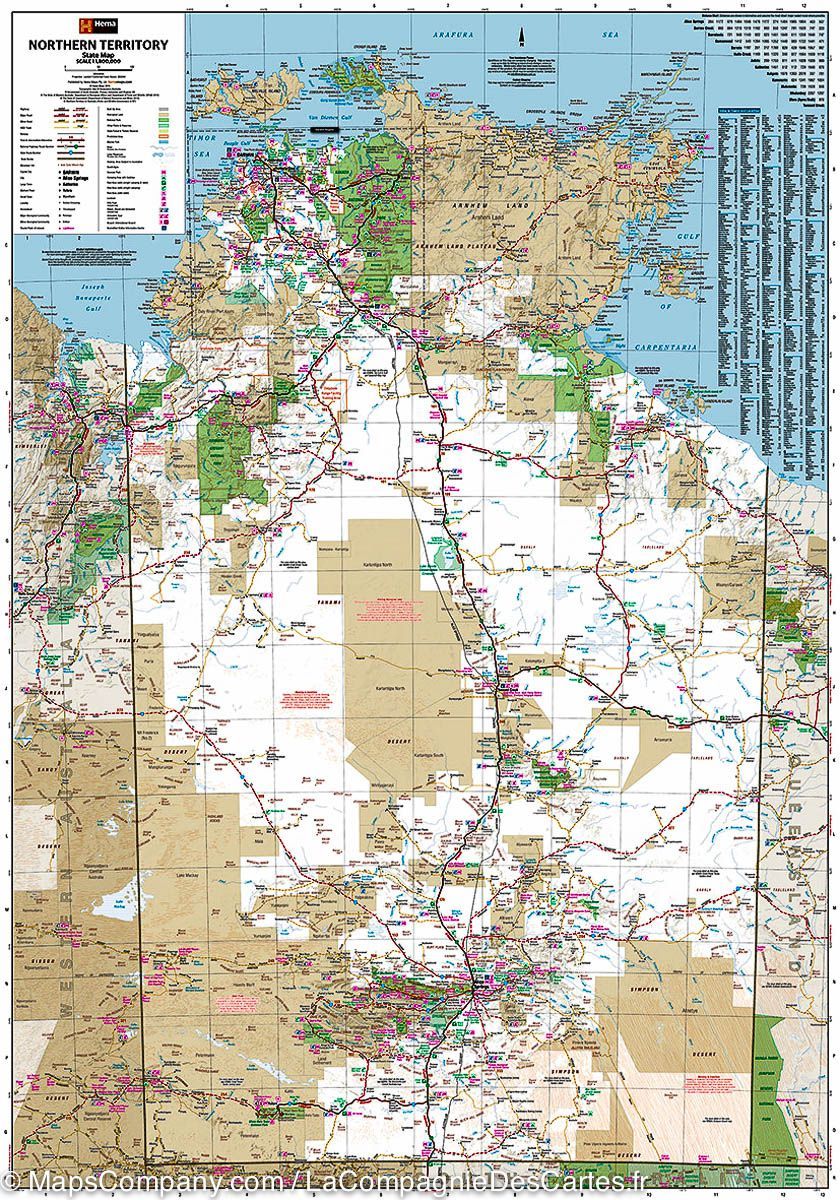
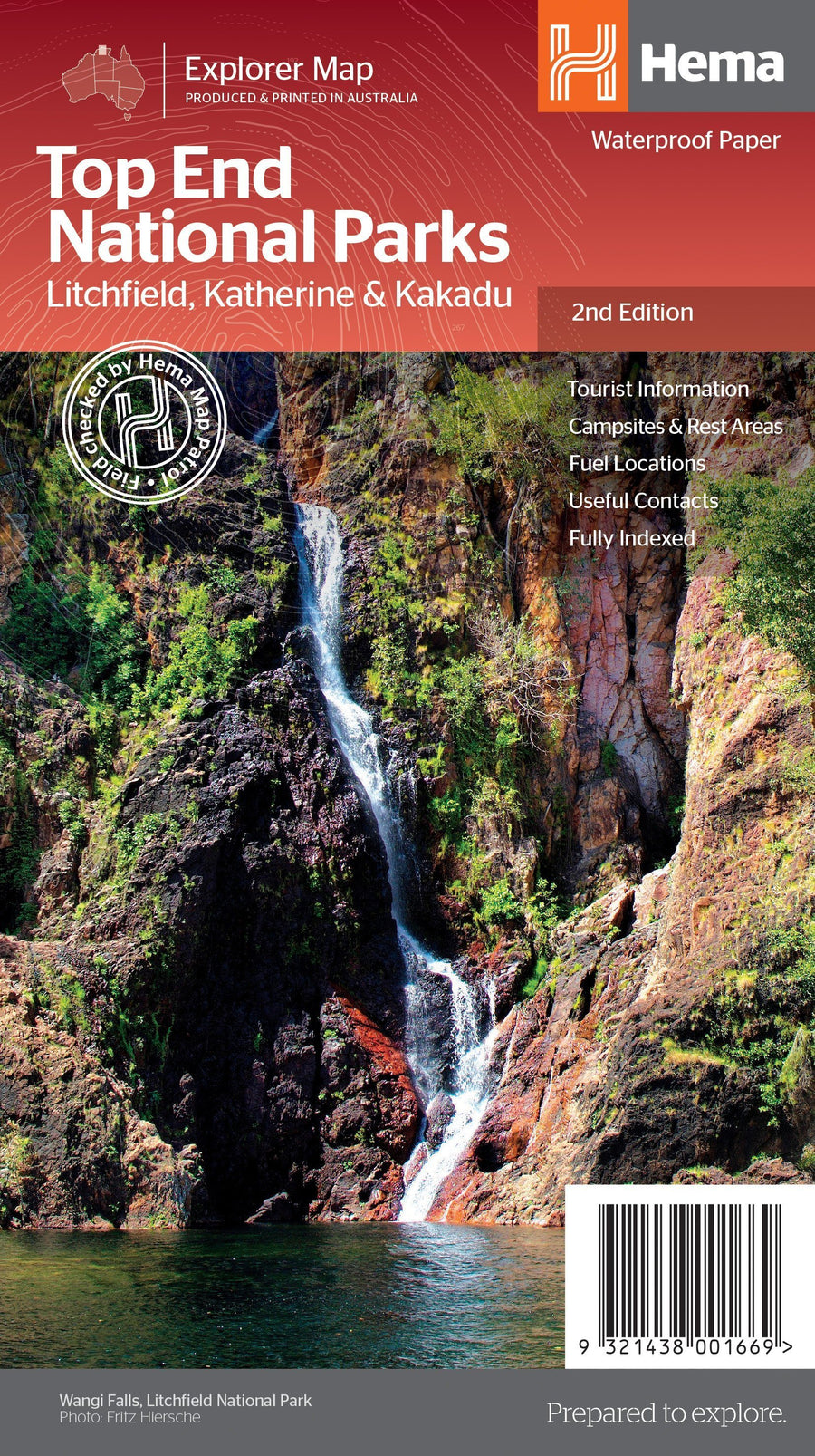
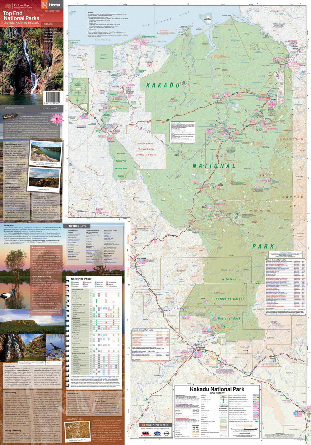
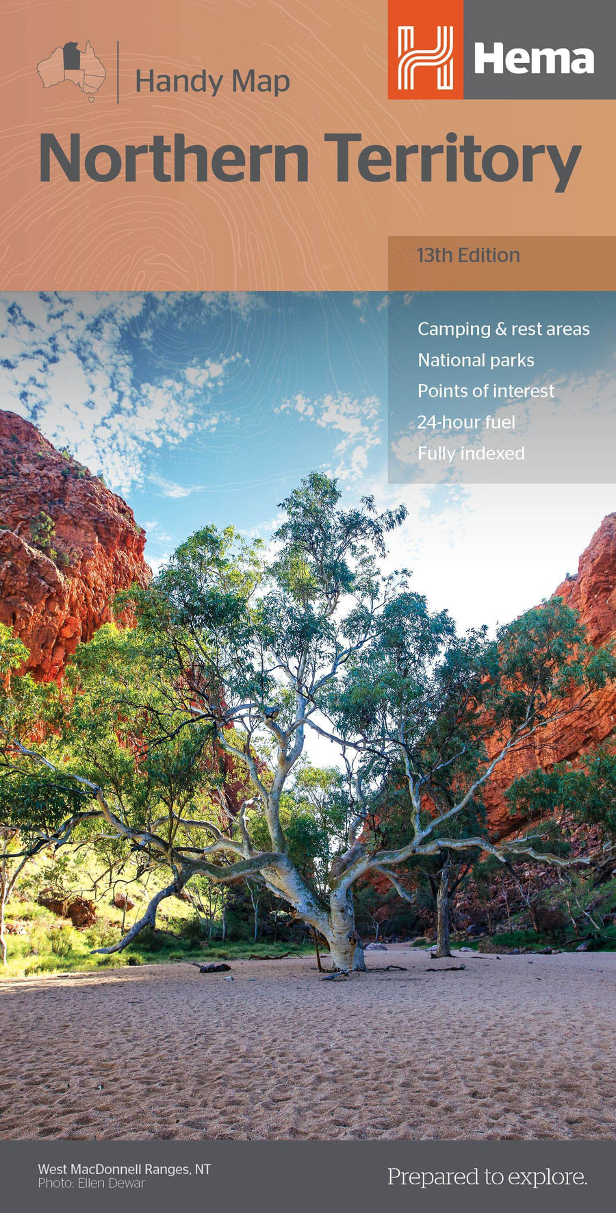
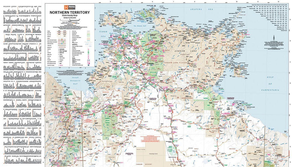
Waterproof Regional map of the Top End and Gulf to discover the area in 4x4. The main map contains maps of the Darwin area, from Gregory, Nhulunbuy, Keep River National Park and Boodjamulla National Park.
There is additional tourist information on the land of Arnhem, the ROPER trek, the Darwin area, Douglas - Daly District, Nature's Way, Victoria Highway, Katherine Area and Stuart Region Highway.
ISBN/EAN : 9321438001614
Publication date: 2019
Scale: 1/1,650,000 (1cm=16.5km)
Printed sides: both sides
Folded dimensions: 25x14cm
Unfolded dimensions: 100x70cm
Language(s): English
Weight:
82 g


