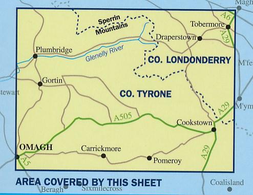
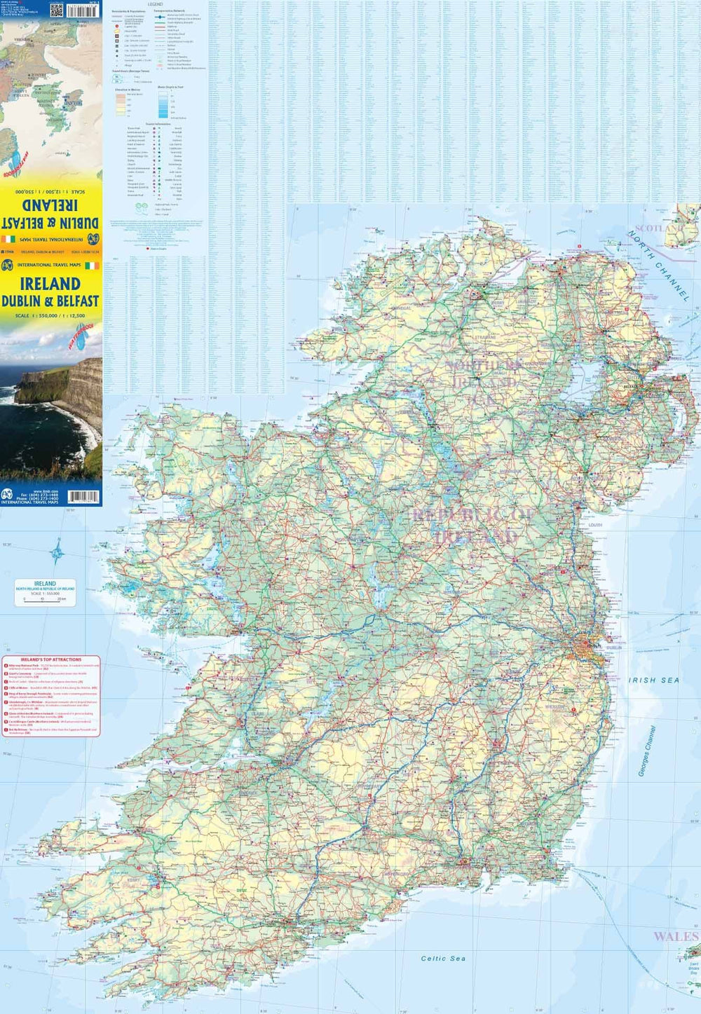
Different types of forests are shown thanks to the color code. Outside the national road network small roads are evaluated on the basis of their width. Indication of local trails and steep slopes. The rail network is presented with train stations. The marked trails and bike paths of the "Sustrans" network are highlighted. Curiosities are clearly marked and a series of symbols indicates other tourist information, including camping opportunities, hostels, road stations, car parks, picnic areas, gazebo, golf courses, etc. The maps are GPS compatible.
ISBN/EAN : 9781905306848
Publication date: 2015
Scale: 1/50,000 (1cm=500m)
Folded dimensions: 11.7 x 18.2cm
Language(s): English
Weight:
80 g


