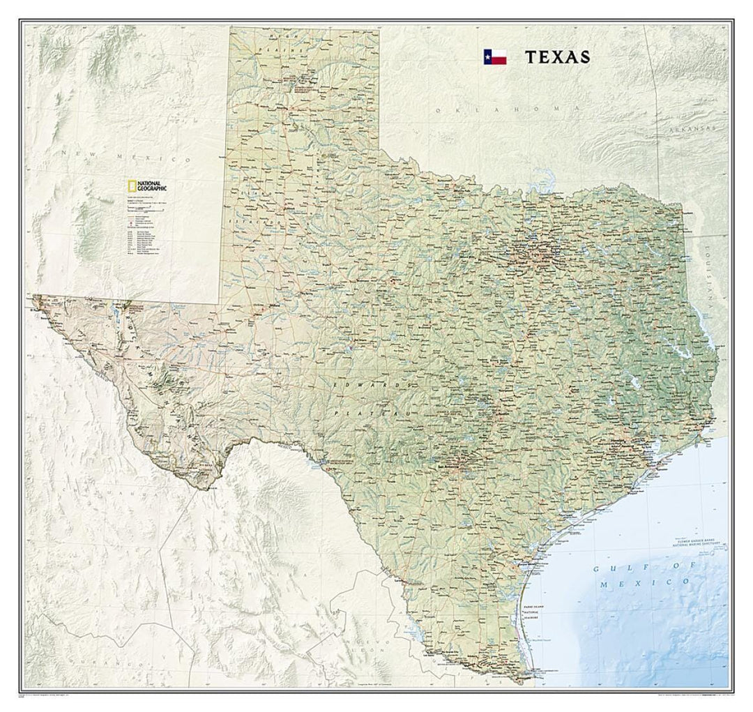
Texas, tubed by National Geographic Maps

Wall Map of Texas, Tubed | National Geographic

Wall Map of Texas, Tubed | National Geographic

Regular price $40.00
/
  • Ships within 48 business hours from our US warehouse. For this product, customs fees may be requested by the carrier upon delivery.
  • Delivery costs calculated instantly in the basket
  • Free returns (*)
  • Real-time inventory
  • In stock, ready to ship
  • Backordered, shipping soon
Tax included.

National Geographic's wall map of Texas brings the rich and diverse topography of the state to life in elegant detail. Mountain ranges, prominent peaks, major lakes, rivers, and reservoirs, and other geographic features are highlighted. In addition to hundreds of place names, this map includes the precise locations of cities, major roadways and railways, airports, military bases, and national and state parks. Stunning shaded relief and vibrant colorization distinguishes mountain ranges, forests, deserts, valleys, and other physical topography including a portion of the Gulf of Mexico. The Texas portion of the Intracoastal Waterway is shown from Brownsville to the Louisiana border. Part of a growing series of State Wall Maps, this expertly designed map makes an attractive addition to any office or study.


ISBN/EAN : 9781597752435
Publication date: 2013
Unfolded dimensions: 35.43 inches x 37.8 inches (90 x 96 cm)
Language(s): English
Poids : 1130 g

Customer Reviews

Based on 1 review
0%
(0)
100%
(1)
0%
(0)
0%
(0)
0%
(0)
B
Bill d.
Would not buy this map again. To...

Would not buy this map again. Too large. Was. , is. , not laminated. Perhaps was tubed. ( BY E BAY ).