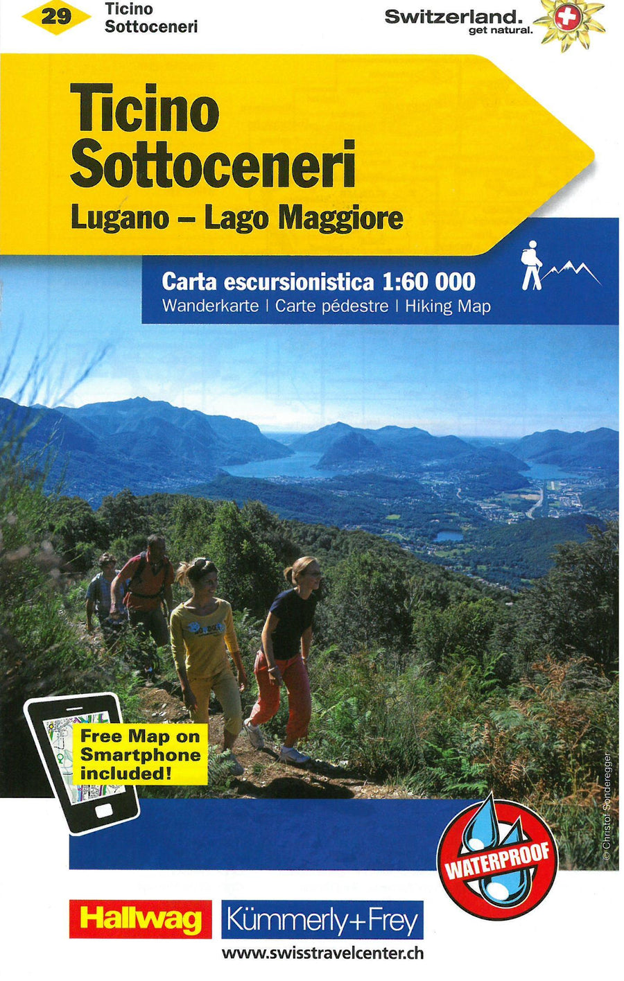
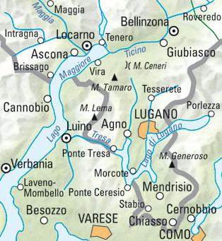
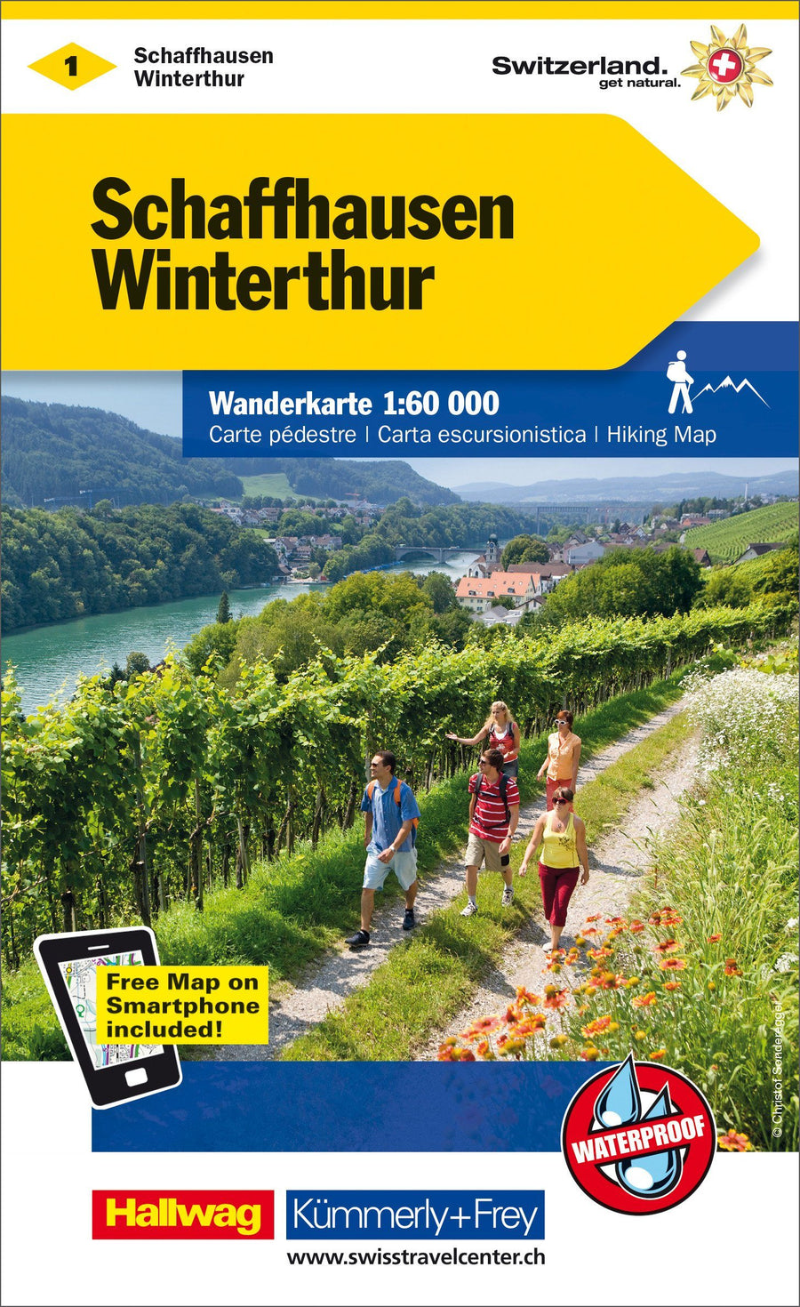
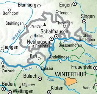
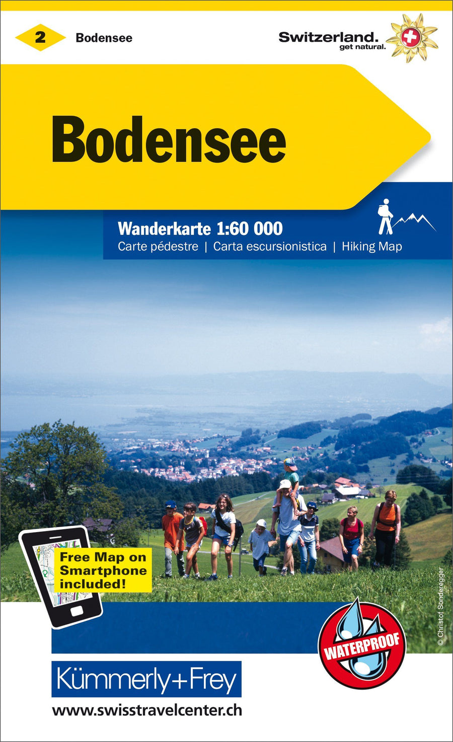
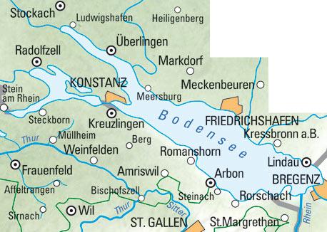
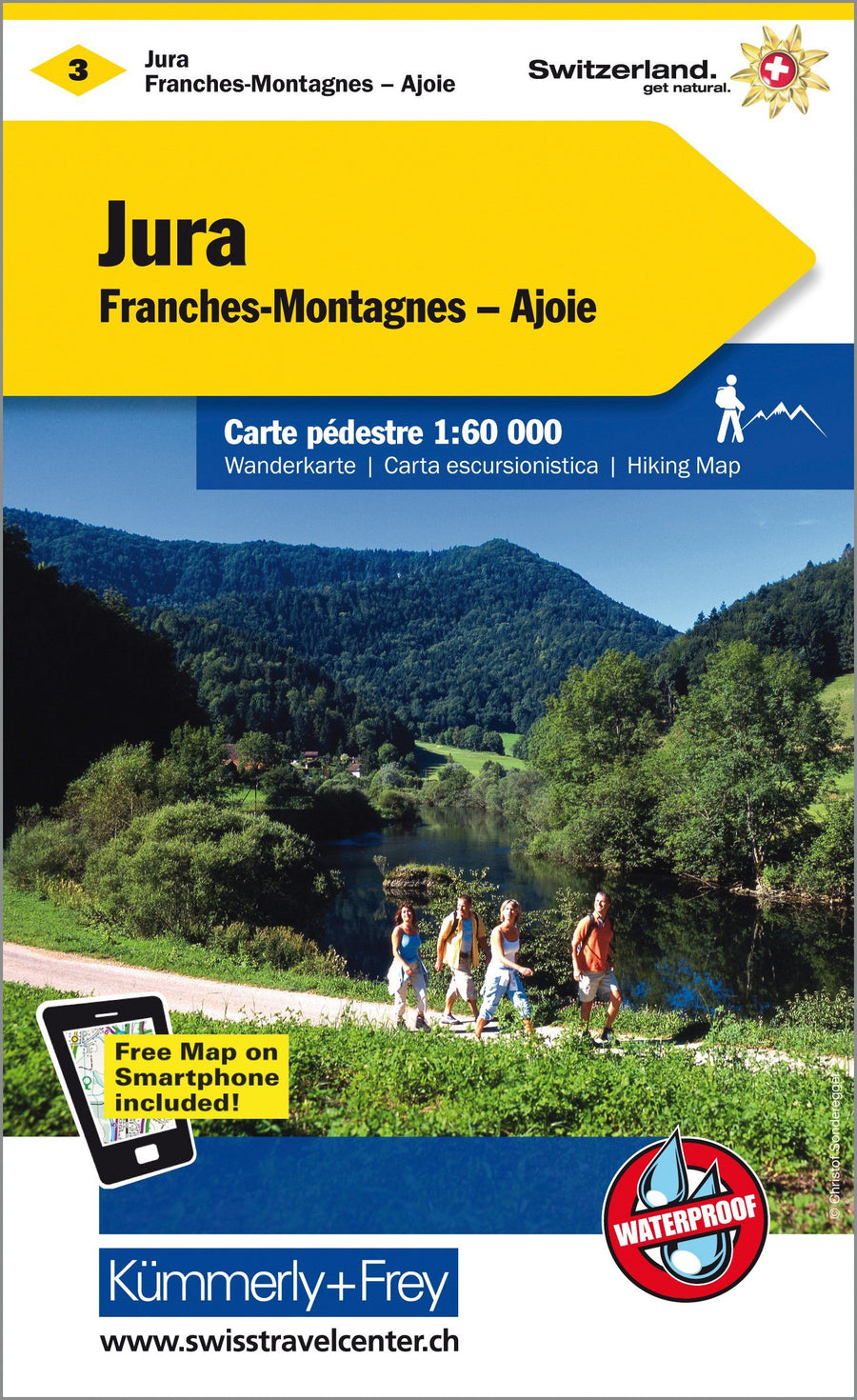
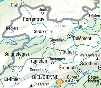
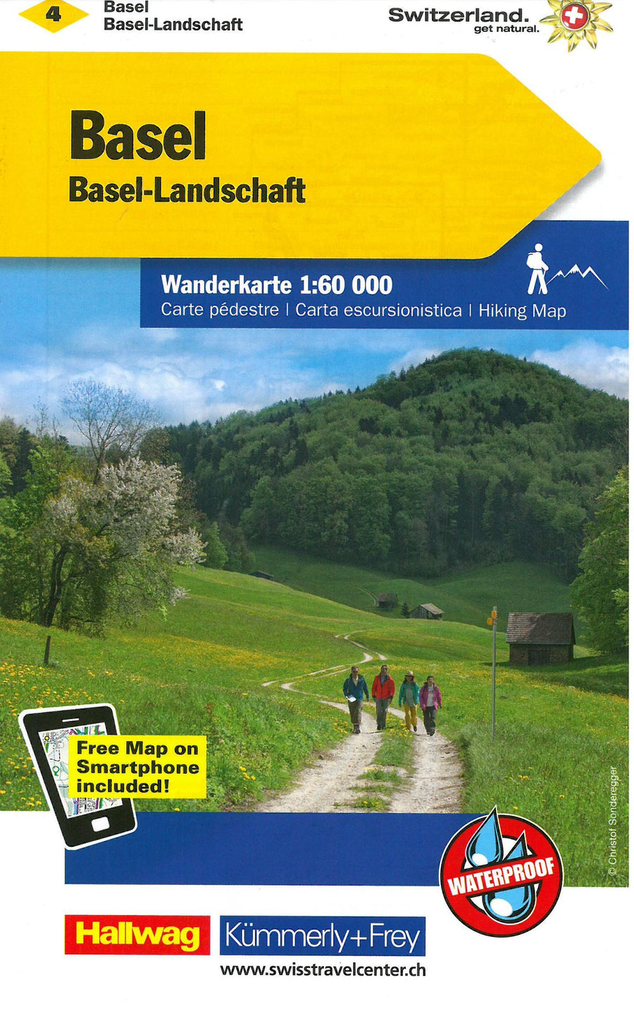
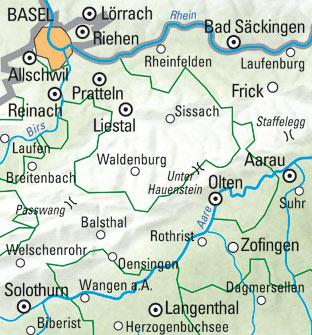
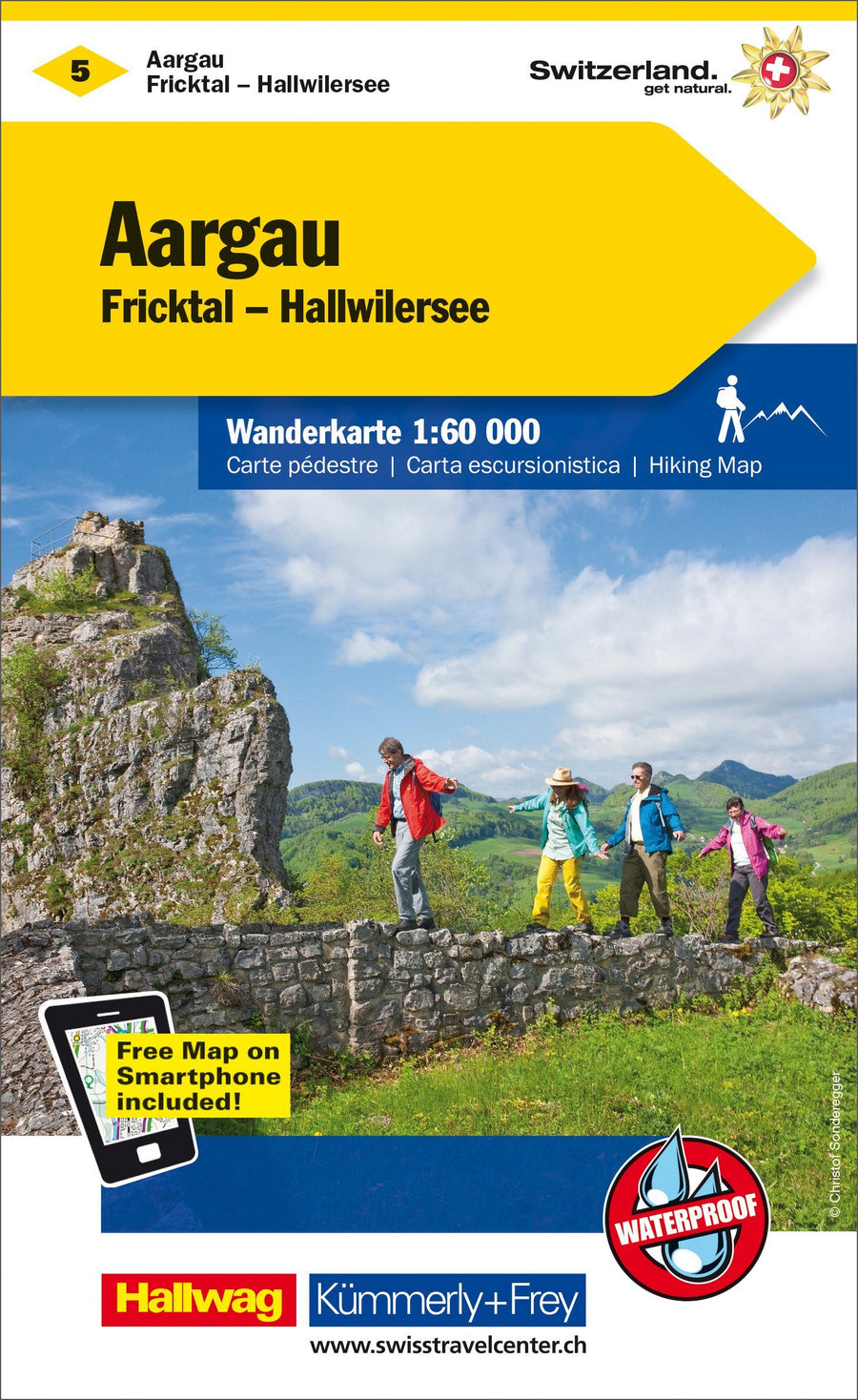
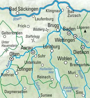
In collaboration with cantonal and hiking organizations, Kümmerly + Frey publishes a series of maps covering the entire Swiss territory. These 33 maps cover the most beautiful races and hiking regions of Switzerland, most of which at 1:60 000 (1 cm = 600 m), scale "ideal" for the promenade. The hikes are classified as "hiking trail", "mountain trail" and "Alpine itinerary". Each map contains useful additional information: housing, meals, bus lines with stops, sports, leisure ... Maps with full index and access map to the region.
An additional asset: You can download your free map on your smartphone. Your access code to download the map is on the map.
Legend in French, English, Italian and German.
ISBN/EAN : 9783259022290
Publication date: 2022
Folded dimensions: 25x13cm
Language(s): Multilingual including French
Weight:
82 g


