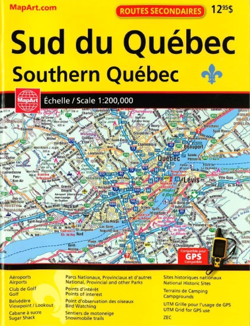
Southern Quebec, Back Road Atlas by Canadian Cartographics Corporation

Road Atlas - Southern Quebec | Canadian Cartographics Corporation

Price
Regular price $15.00
Regular price Sale price $15.00
Save $-15
/
  • Shipping within 48 business hours from our warehouse in the USA. For this product, customs fees may be requested by the carrier upon delivery.
  • Delivery costs calculated instantly in the basket
  • Free returns (*)
  • Real-time inventory
  • In stock, ready to ship
  • Backordered, shipping soon
Tax included.

Often purchased together:

This GPS-compatible 2016 Secondary Road Atlas features: Airports, Golf Clubs, Lookouts, Sugar Shacks, National, Provincial and other Parks, Points of Interest, Bird Watching, Snowmobile trails, National Historic Sites, Campgrounds, UTM Grid for GPS use and ZECs.
Coverage: 1:200,000 regional mapping of the southern portion of the province of Quebec. Coverage includes, but is not limited to: Petawawa & Cornwall to the west, the southern parts of Outaouais, Laurentides, Lanaudière, Mauricie, Charlevoix, Chaudière-Appalaches, Eastern Townships and Montérégie. Coverage of the Northeastern United States along the border and the Ottawa-Montreal-Quebec City corridor, including areas north and south of this corridor.

.


ISBN/EAN : 9781554861385
Publication date: 2016
Unfolded dimensions: 11.02 inches x 8.27 inches (28 x 21 cm)
Language(s): English
Weight: 350 g

Customer Reviews

Be the first to write a review
0%
(0)
0%
(0)
0%
(0)
0%
(0)
0%
(0)