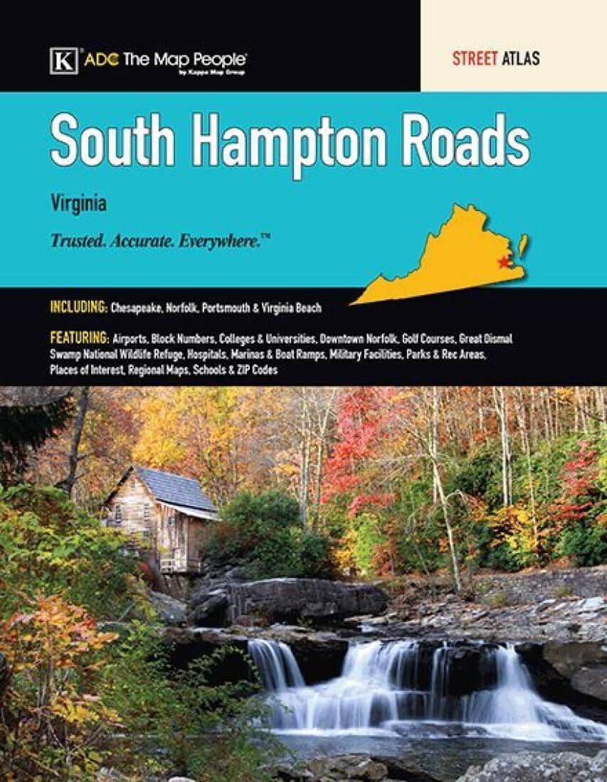
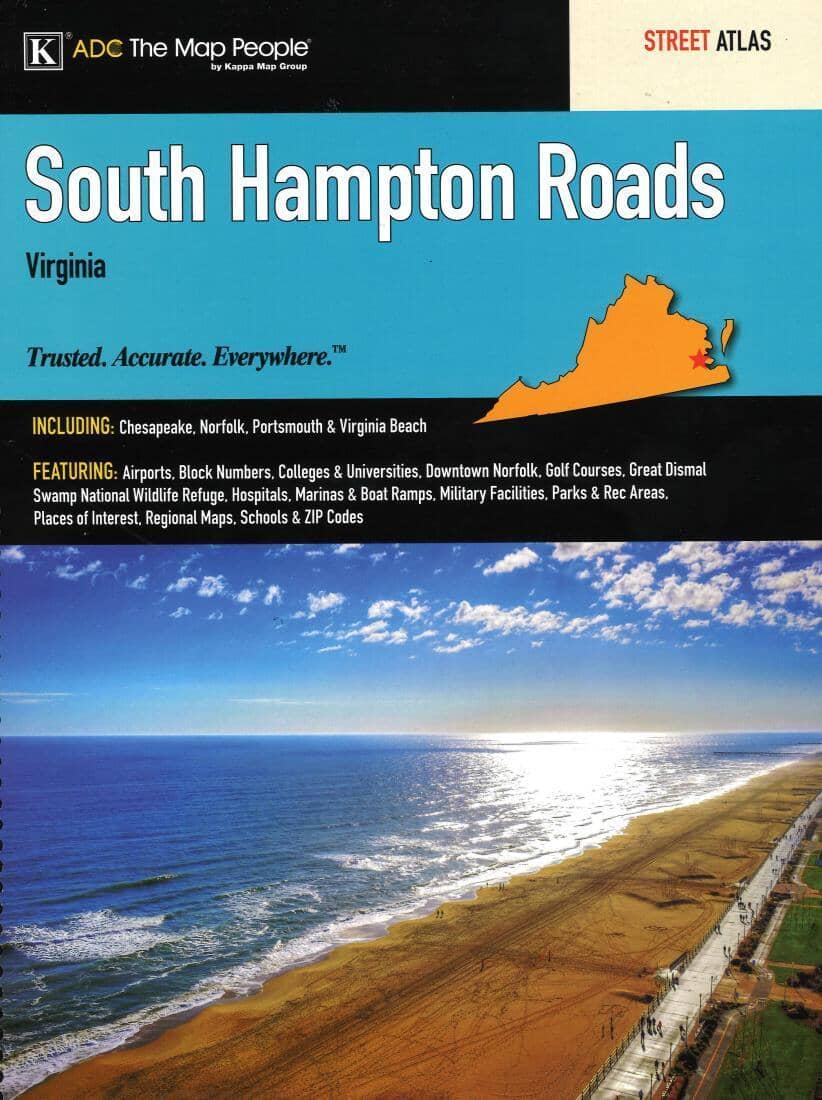
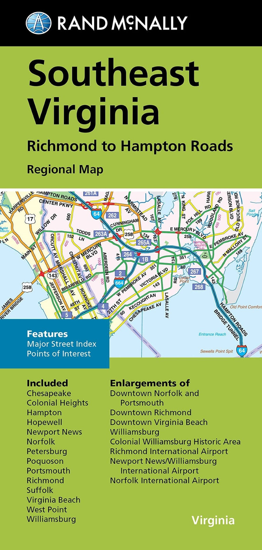
The South Hampton Roads, VA Atlas is a full - color street atlas, including: Chesapeake, Norfolk, Portsmouth, and Virginia Beach; and features: Airports, Campgrounds, Colleges and Universities, Downtown Norfolk, Golf Courses, Great Dismal Swamp NWR, Marinas and Boat Ramps, Military Facilities, Parks and Rec Areas, Places of Interest, Schools, and ZIP Codes.
Large and spiral - bound.
ISBN/EAN : 9780762593095
Publication date: 2017
Unfolded dimensions: 13.39 x 10.63 inch / 34 x 27cm
Language(s): English
Weight:
700 g


![Jefferson National Forest [Map Pack Bundle] | National Geographic carte pliée](http://mapscompany.com/cdn/shop/products/foret-nationale-de-jefferson-pack-de-cartes-national-geographic-carte-pliee-national-geographic-882355.jpg?v=1694456994&width=900)
![George Washington National Forest [Map Pack Bundle] | National Geographic carte pliée](http://mapscompany.com/cdn/shop/products/george-washington-national-forest-pack-de-cartes-national-geographic-carte-pliee-national-geographic-961093.jpg?v=1694457876&width=900)
![Appalachian Trail: Virginia, West Virginia, Maryland [Map Pack Bundle] | National Geographic carte pliée](http://mapscompany.com/cdn/shop/products/cartes-de-randonnee-appalachian-trail-virginia-west-virginia-maryland-pack-de-cartes-national-geographic-carte-pliee-national-geographic-980569.jpg?v=1694453800&width=900)