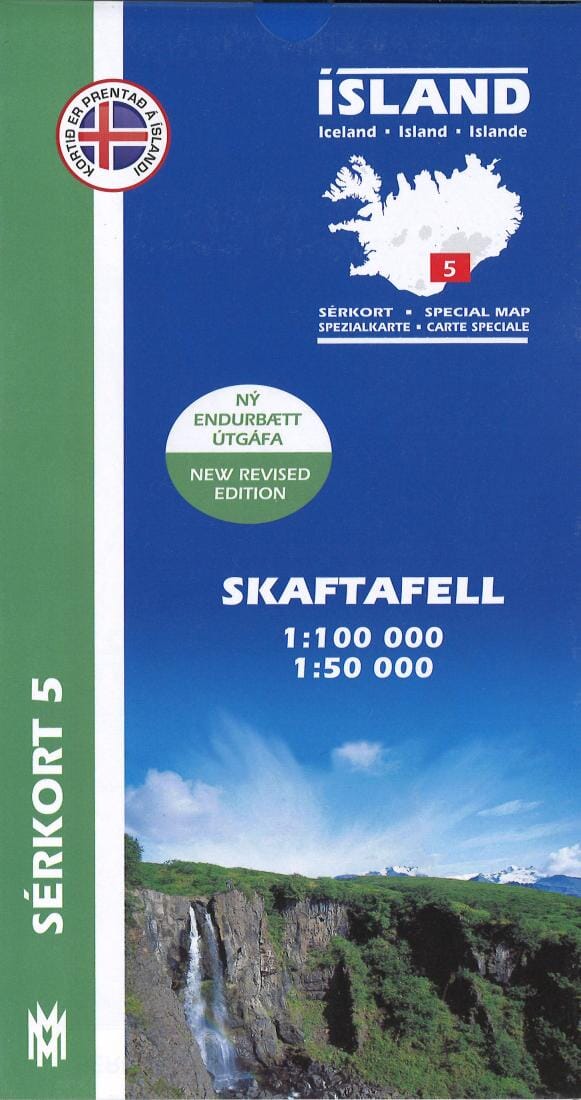
Skaftafell - Islande | Mal og menning carte pliée Mal og menning

Skaftafell - Iceland | Mal og menning

Price
Regular price $25.00
Regular price Sale price $25.00
Save $-25
/
  • Shipping within 48 business hours from our warehouse in the USA. For this product, customs fees may be requested by the carrier upon delivery.
  • Delivery costs calculated instantly in the basket
  • Free returns (*)
  • Real-time inventory
  • In stock, ready to ship
  • Backordered, shipping soon
Tax included.

Often purchased together:

This Mal og Menning title provides topographic and hiking details for Skaftafell wilderness area in Vatnajokull National Park. The front of the map features a 1:50000 scale of Skaftafell, while the reverse features another map of the same area (1:50,000), as well as information about birds that can be seen in the area.

All heights are listed in meters, with 100 m contours on the 1:100,000 map and 20 m contours on the 1:50,000 map.

The map's legend is very detailed and includes references to: farms, churches, campsites, schools, swimming pools, summer houses, golf courses, and ruins and
deserted courtyards,

Map legend is in English, Icelandic, German, and French.


ISBN/EAN : 9789979330363
Publication date: 2019
Unfolded dimensions: 25.98 x 38.19 inches / 66 x 97cm
Language(s): Icelandic, French, English
Weight: 100 g

Customer Reviews

Be the first to write a review
0%
(0)
0%
(0)
0%
(0)
0%
(0)
0%
(0)